Loading…

Riverside Ski Trails Trailhead (WK9)
Free — you'll pick up right here.
Watch this trail
Sign up to watch it — saving subscribes you to gate, closure and report changes.
Montana
No agency boundary, access route or field report is mapped to it — so there is no verdict, and we won't guess. We'll tell you the moment this trail has something to say.
Covered nearby
Trails within 25 miles where we do have a current picture.
Nobody's filed a report here yet — be the first.
Why you'll love it
Riverside Ski Trails Trailhead (WK9)
AI-suggested draft · review before you go
No elevation data on file for this trail.
The Riverside Ski Trail provides several easy options to ski along the Madison River and enjoy views of both the Gallatin and Madison mountain ranges. Boundary Street to loops: 1 mile (1.6 km) Downriver loop, full: 3.5 miles (5.6 km) Downriver loop, short: 2.2 miles (3.5 km) Upriver loop: 1.5 miles (2.4 km) Trailhead: east side of Boundary Street at Madison Avenue. The first mile is through forest to the loop trail junctions above the Madison River. The upriver loop (right), provides panoramic views of the Madison River and the Gallatin Range. The downriver loop (left), crosses open forests and meadows along the river. A cutoff trail shortens the trip by 1.3 miles (2.1 km). Return to the trailhead via the approach trail. Look for elk, bald eagles, and waterfowl. The first two miles my be occasionally groomed for classic ski tracks.
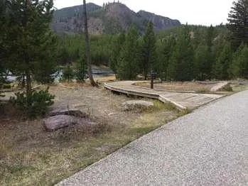
Mount Haynes Fishing Platform
~15 min drive
<p>At the Mount Haynes Overlook, approximately 3.5 miles (5.6 km) west of Madison Junction. A level boardwalk leads to the Madison River.</p>

Harlequin Lake Trail
~18 min drive
1.0 mi · Easy

Purple Mountain Trail
~21 min drive
6.7 mi · Moderate
Madison Arm Loop (Snowmo)
~1 min drive
Scenic 18.49-mile winter snowmobile loop with minimal elevation gain.
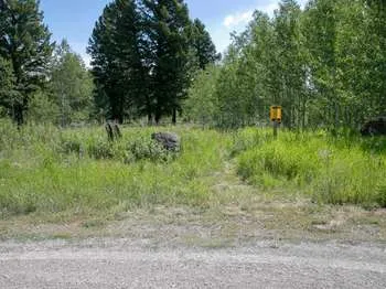
Gneiss Creek (WK7)
~16 min drive
This trailhead along Highway 191 in the western part of the park provides access to one trail: Gneiss Creek Trail Gneiss Creek Trail This moderate 13.9-mile (22.4-km) one-way hike that can start at either the Gneiss Creek Trailhead along Highway 191 and the western boundary…
Purple Haze (Xc)
~1 min drive
Short XC ski trail perfect for beginners and quick winter outings.
Boundary Trail (Xc)
~1 min drive
Moderate 4.58-mile cross-country backcountry route through Montana wilderness.
South Plateau (Snowmo)
~1 min drive
16.5-mile plateau traverse with 1,704 ft gain through Montana backcountry.
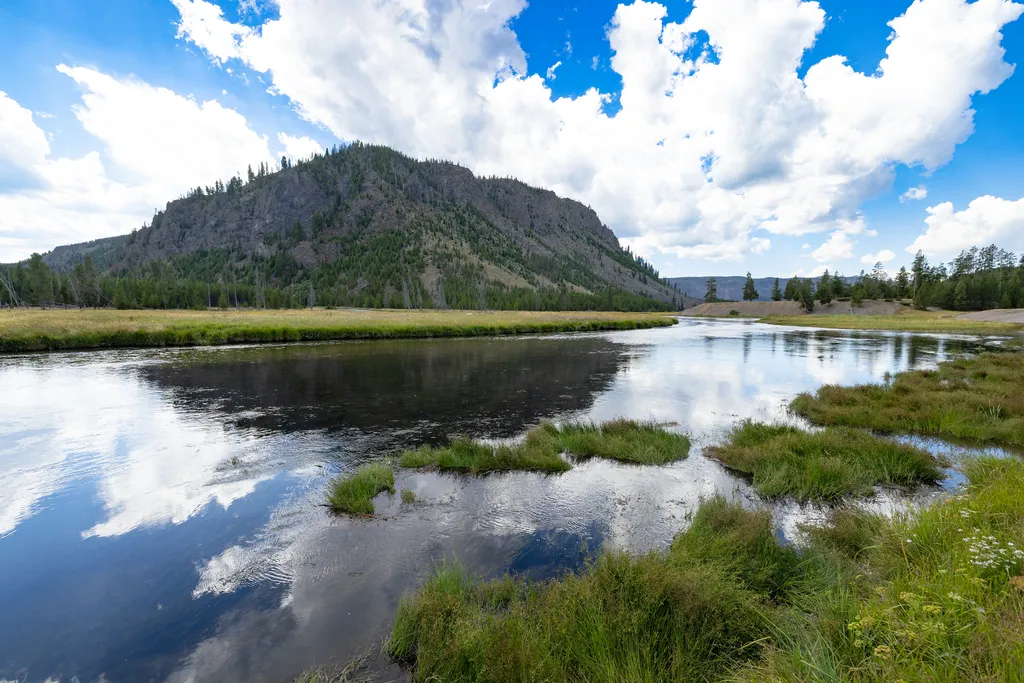
Madison Junction
~20 min drive
<p>At Madison Junction, the Gibbon River joins the Firehole River to form the Madison River.</p> <p>The Gibbon River flows from Grebe Lake through the Norris area to Madison Junction. The Firehole River starts south of Old Faithful and flows through the park’s major hydrotherm…
Volunteer (Xc)
~2 min drive
Easy 2.8-mile cross-country ski trail with minimal elevation gain.