Loading trail…

Free — you'll pick up right here.
Save this plan
Sign up to save your own editable copy — you'll pick up right here.
Montana
12.5 mi
Distance
1,510 ft
Gain
4h 31m
Time
No conditions check on file for this trail yet — always verify current conditions before you go.
Why you'll love it
Gneiss Creek Trail
AI-suggested draft · review before you go
No permit or access details on file for this trail — check with the local land manager before you go.
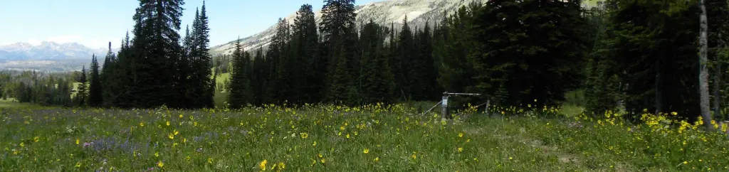
Gneiss Creek Trail is a scenic out-and-back route in Montana that follows a creek drainage through forested terrain, offering hikers a chance to explore the natural geology and water features of the region. The trail provides a moderate challenge with steady elevation gain and opportunities to observe alpine creek ecosystems. This out-and-back hike rewards visitors with solitude and the chance to experience Montana's backcountry character.
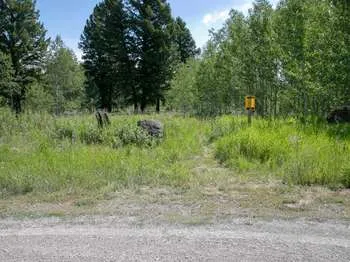
Gneiss Creek (WK7)
~1 min drive
This trailhead along Highway 191 in the western part of the park provides access to one trail: Gneiss Creek Trail Gneiss Creek Trail This moderate 13.9-mile (22.4-km) one-way hike that can start at either the Gneiss Creek Trailhead along Highway 191 and the western boundary…
Big Sky South (Snowmo)
~3 min drive
23-mile snowmobile trail with 1,745 ft gain near Big Sky.
Whits Lake
~4 min drive
Moderate alpine lake hike with 643 ft elevation gain near Whits Lake, Montana.
Johnson Lake
~5 min drive
Moderate 5.46-mile hike to Johnson Lake with 1,040 ft elevation gain.
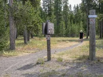
Riverside Ski Trails Trailhead (WK9)
~16 min drive
The Riverside Ski Trail provides several easy options to ski along the Madison River and enjoy views of both the Gallatin and Madison mountain ranges. Boundary Street to loops: 1 mile (1.6 km) Downriver loop, full: 3.5 miles (5.6 km) Downriver loop, short: 2.2 miles (3.5 km) U…
Cougar Creek (Snowmo)
~8 min drive
Long, gentle 15.66-mile trail through Cougar Creek with minimal elevation gain.
Boundary Trail (Xc)
~14 min drive
Moderate 4.58-mile cross-country backcountry route through Montana wilderness.
Dutchman Basin
~6 min drive
Short, easy basin trail with gentle elevation gain near Dutchman Basin.
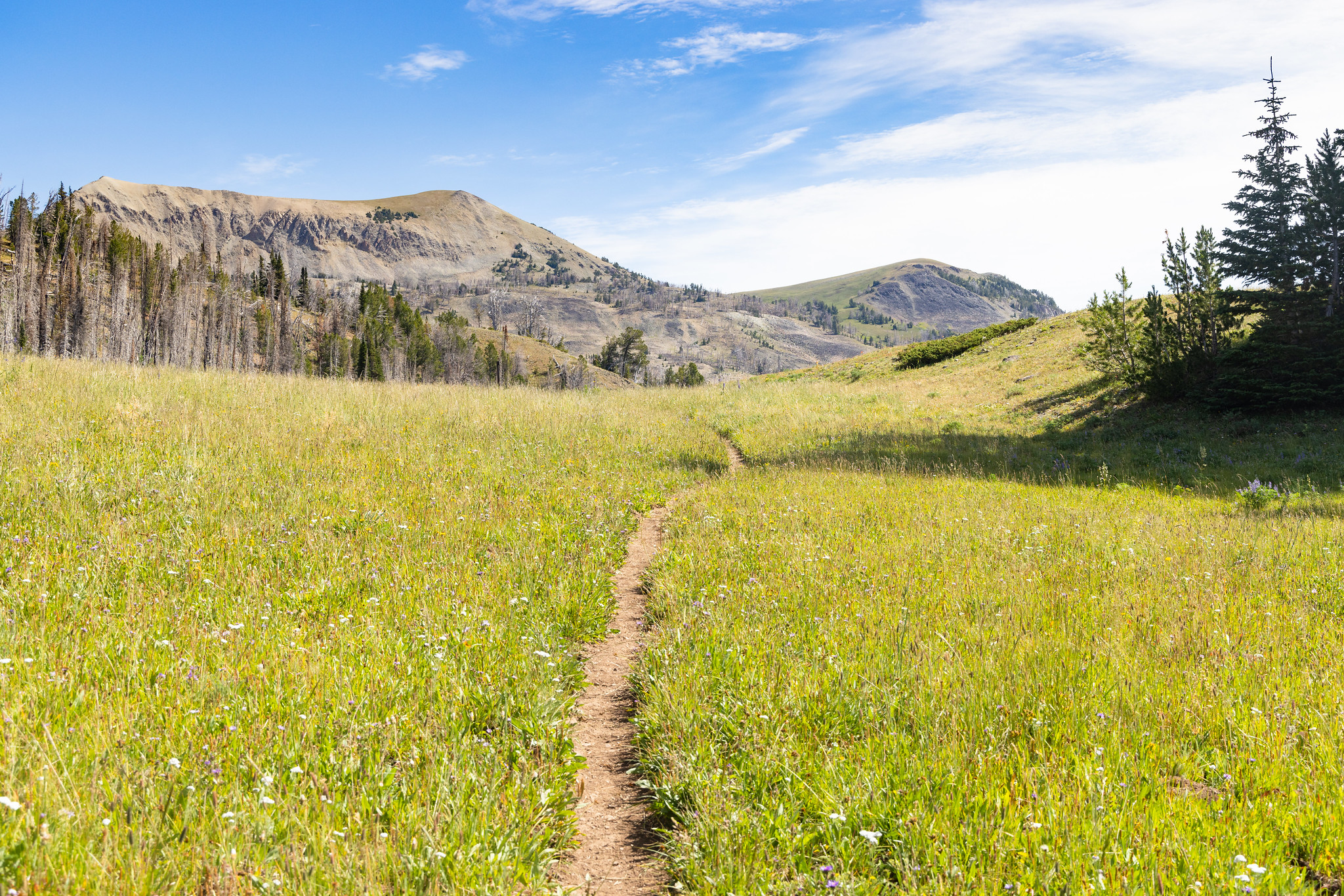
Fawn Pass Trailhead (WK5)
~19 min drive
The Fawn Pass trailhead is on the northwest side of Yellowstone near U.S. Highway 191. From this trailhead, you can embark on the following trail: Fawn Pass Trail Fawn Pass Trail This trail can either be a there and back 18-mile (28.9 km) strenuous hike to the top of Fawn P…
Mount Hebgen
~10 min drive
Moderate 10.73-mile climb with 1,641 ft elevation gain near Hebgen Lake.