West Branch
- 14.8 mi
- round trip
- 680 ft
- climb
- 5,256 ft
- high point
- Out and back
- route
Is West Branch open right now?
Closure in the area
There's a closure order in Kootenai National Forest. It doesn't name West Branch, so check the source for the area it covers.
Kootenai Flood Event & Inaccessible Areas
Agency closure covering Kootenai National Forest · USFS · Kootenai National Forest
Updated Skillet Fire Area, Road, Trail Closure
Agency alert covering Kootenai National Forest · Order 01-10- · USFS · Kootenai National Forest
Upper Young Creek Road #7202 Closure
Agency alert covering Rexford Ranger District · Order 01-14-01-26-01 · USFS · Rexford Ranger District
As of · Source: USFS · Kootenai National Forest. Agencies don't list every closure — check before you go.
West Branch is a 14.8-mile out-and-back hike in the Rexford Ranger District of Montana's Kootenai National Forest, managed by the Forest Service. The trail rises from a low point of 4,214 feet to a high of 5,256 feet, with a total elevation gain of 680 feet. It is a hard route, and the trailhead is West Branch TH 3, which is open from June 15 through October 15. The trail is natural-surfaced and allows both horses and bikes. It is not an accessible trail. Garden Ridge lies about 1.4 miles away, and the N Fork Big Creek Snowmobl Spur is about 2 miles off. Big Creek Baldy Lookout Rental, a campground, is about 2.5 miles away, and Banfield Mountain is about 3.4 miles away.
Local outfitters
- Kootenai River Campground21 mi away
- Indian Springs Montana29 mi away
Not on Roamze yet. Their page has how to reach them.
Keep exploring — more trails worth the drive
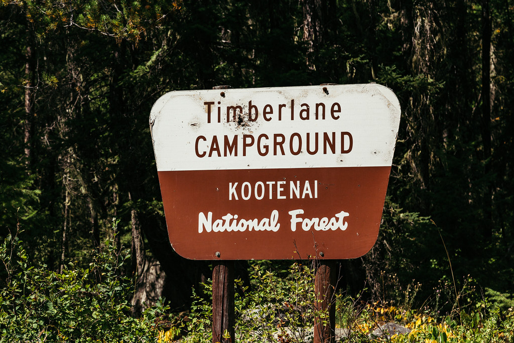 Photo: Tony Webster — CC BY 2.0 (via Flickr)
Timberlane
~16 min drive
0.79-mile loop trail in Montana with 18 ft of elevation gain.
HIKE
Garden Ridge
~2 min drive
7-mile out-and-back trail in Montana with 1,600 ft elevation gain.
HIKE
GARDEN RIDGE SNOMOBILE SPUR
~6 min drive
38.8-mile out-and-back snomobile spur in Montana with 4,043 ft gain/loss
HIKE
BIG CREEK BALDY SNOWMOBL LOOP
~6 min drive
7.04-mile out-and-back trail in Montana with 2,011 ft elevation gain/loss
HIKE
Banfield Mountain
~6 min drive
4.38-mile out-and-back trail in Montana with 912 ft elevation gain.
HIKE
N FORK BIG CREEK SNOWMOBL SPUR
~3 min drive
7.38-mile out-and-back trail in Montana with 2,626 ft elevation gain/loss
HIKE
Pipe Divide
~8 min drive
9.33-mile out-and-back trail in Montana with 2,465 ft elevation gain.
HIKE
Banfield Ridge
~8 min drive
5.80-mile out-and-back trail on a ridge in Montana with 289 ft gain.
HIKE
Tom Poole Lake
~10 min drive
0.95-mile out-and-back trail to Tom Poole Lake in Montana with 336 ft of elevation gain.
HIKE
Gold Hill Divide
~6 min drive
10.12-mile out-and-back trail in Montana with 773 ft elevation gain.
