N Fork Big Creek Snowmobl Spur
- 3.7 mi
- round trip
- 2,626 ft
- climb
- 5,214 ft
- high point
- Out and back
- route
Is N FORK BIG CREEK SNOWMOBL SPUR open right now?
Closure in the area
There's a closure order in Kootenai National Forest. It doesn't name N FORK BIG CREEK SNOWMOBL SPUR, so check the source for the area it covers.
Kootenai Flood Event & Inaccessible Areas
Agency closure covering Kootenai National Forest · USFS · Kootenai National Forest
Updated Skillet Fire Area, Road, Trail Closure
Agency alert covering Kootenai National Forest · Order 01-10- · USFS · Kootenai National Forest
Upper Young Creek Road #7202 Closure
Agency alert covering Rexford Ranger District · Order 01-14-01-26-01 · USFS · Rexford Ranger District
As of · Source: USFS · Kootenai National Forest. Agencies don't list every closure — check before you go.
N FORK BIG CREEK SNOWMOBL SPUR is a 7.38-mile out-and-back trail in Montana with 2,626 feet of elevation gain and loss. The route reaches a maximum elevation of 5,214 feet.
Local outfitters
- Kootenai River Campground20 mi away
- Indian Springs Montana29 mi away
Not on Roamze yet. Their page has how to reach them.
- Big Creek Baldy. Lookout RentalCamping0.6 mi
- West BranchHiking2 mi
- GARDEN RIDGE SNOMOBILE SPURHiking2 mi
- BIG CREEK BALDY SNOWMOBL LOOPHiking2.1 mi
- East Pipe/big Creek SnowmoblMountain biking2.2 mi
- Shafer/big Creek BaldyMountain biking3 mi
- Loon Lake CampgroundCamping6.9 mi
- Pipe CreekCanoeing7.7 mi
Source: Roamze catalog (indexable pages within 10 miles, PostGIS distance)
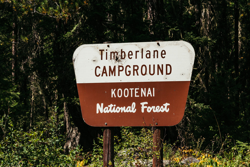 TimberlaneHiking · ~18 min drivePhoto: Tony Webster — CC BY 2.0 (via Flickr)
- West BranchHiking · ~3 min drive
- GARDEN RIDGE SNOMOBILE SPURHiking · ~3 min drive
- BIG CREEK BALDY SNOWMOBL LOOPHiking · ~4 min drive
- Tom Poole LakeHiking · ~8 min drive
- Garden RidgeHiking · ~5 min drive
- Pipe DivideHiking · ~6 min drive
- BobtailHiking · ~11 min drive
- Banfield MountainHiking · ~9 min drive
- Turner MountainHiking · ~8 min drive
