Big Creek Baldy Snowmobl Loop
- 3.5 mi
- round trip
- 2,011 ft
- climb
- 5,328 ft
- high point
- Out and back
- route
Is BIG CREEK BALDY SNOWMOBL LOOP open right now?
Closure in the area
There's a closure order in Kootenai National Forest. It doesn't name BIG CREEK BALDY SNOWMOBL LOOP, so check the source for the area it covers.
Kootenai Flood Event & Inaccessible Areas
Agency closure covering Kootenai National Forest · USFS · Kootenai National Forest
Updated Skillet Fire Area, Road, Trail Closure
Agency alert covering Kootenai National Forest · Order 01-10- · USFS · Kootenai National Forest
Trail Advisory-Alexander Mountain Trail near Timber Harvest Activities
Agency alert covering Libby Ranger District · USFS · Libby Ranger District
Timberlane Campground Closure
Agency alert covering Libby Ranger District · Order 01-14-05-26-03 · USFS · Libby Ranger District
As of · Source: USFS · Kootenai National Forest. Agencies don't list every closure — check before you go.
Big Creek Baldy Snowmobl Loop is a 7-mile out-and-back hike on the Forest Service land of the Libby Ranger District in Montana's Kootenai National Forest, starting at about 4,300 feet. The route climbs to a high point of 5,328 feet, with a total gain of 2,011 feet, and is a front-loaded climb, steepest at about 1.9 miles with a 16% grade. The trip takes about 3.5 hours, and the route is rated moderate. The climb is steep and reaches a high point around 5,300 feet, so plan for a full day and bring layers for the cold. Big Creek Baldy Lookout Rental is about 1.5 miles away, and Loon Lake Campground is about 4.8 miles away. Mountain bikers can ride the Deception Cr Snowmobile Loop at about 1.3 miles or the Upper Pipe at about 1.6 miles.
Local outfitters
- Kootenai River Campground18 mi away
- Indian Springs Montana31 mi away
Not on Roamze yet. Their page has how to reach them.
- Deception Cr Snowmobile LoopMountain biking1.3 mi
- Big Creek Baldy. Lookout RentalCamping1.5 mi
- Upper PipeMountain biking1.6 mi
- East Pipe/big Creek SnowmoblMountain biking1.8 mi
- Shafer/big Creek BaldyMountain biking2 mi
- Loon Lake CampgroundCamping4.8 mi
- Pipe CreekCanoeing6.6 mi
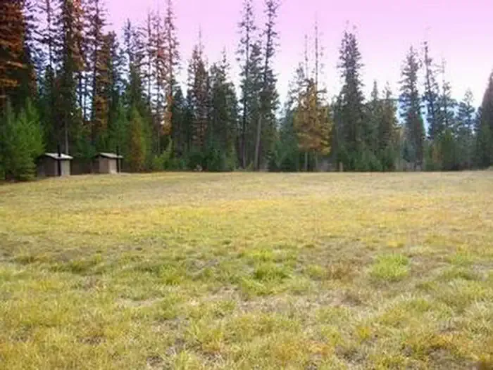 Timberlane CampgroundCampingPhoto: Recreation.gov (RIDB) / public domain9.7 mi
Source: Roamze catalog (indexable pages within 10 miles, PostGIS distance)
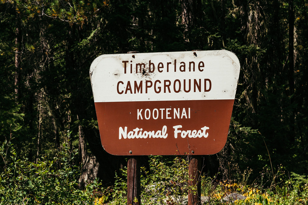 TimberlaneHiking · ~17 min drivePhoto: Tony Webster — CC BY 2.0 (via Flickr)
- N FORK BIG CREEK SNOWMOBL SPURHiking · ~4 min drive
- GARDEN RIDGE SNOMOBILE SPURHiking · ~6 min drive
- BobtailHiking · ~8 min drive
- Tom Poole LakeHiking · ~5 min drive
- Turner MountainHiking · ~4 min drive
- Pipe DivideHiking · ~7 min drive
- Banfield RidgeHiking · ~12 min drive
- Flatiron RidgeHiking · ~7 min drive
- Upper PipeHiking · ~4 min drive
