Walking path at John H Dover Park
- 0.7 mi
- loop
- 116 ft
- climb
- 3,113 ft
- high point
- Loop
- route
- Apr–Jun, Aug–Oct
- best months
Caution at last check
Weather is marginal · OpenWeather · checked 21 h ago
The walking path at John H Dover Park is a short, easy loop in Billings, Montana, about 1.8 miles from Billings Heights. It covers 0.72 miles and rises about 116 feet from the starting point at 3,113 feet, with the high point at 3,113 feet. The climb is back-loaded, so the steepest stretch comes near the midpoint, and the path returns to the starting elevation by the end. It works well as a quick walk or a warm-up before heading to other spots in the area. Late spring through early fall is the most comfortable time to go. Typical averages from a nearby weather station in Billings show highs around 68°F in May and 75°F in September, with July the warmest month at about 86°F. Winters are cold, with January highs near 37°F and a few snow days each month from November through March. The route is short enough to fit into a stop in town, and the loop makes it easy to pace a longer day. Within about 8 miles you'll find the Rims Mountain Bike Path, The Loop Trail, and the Billings Rimrocks and Gregory climbing areas.
- Rims Mountain Bike PathMountain biking7 mi
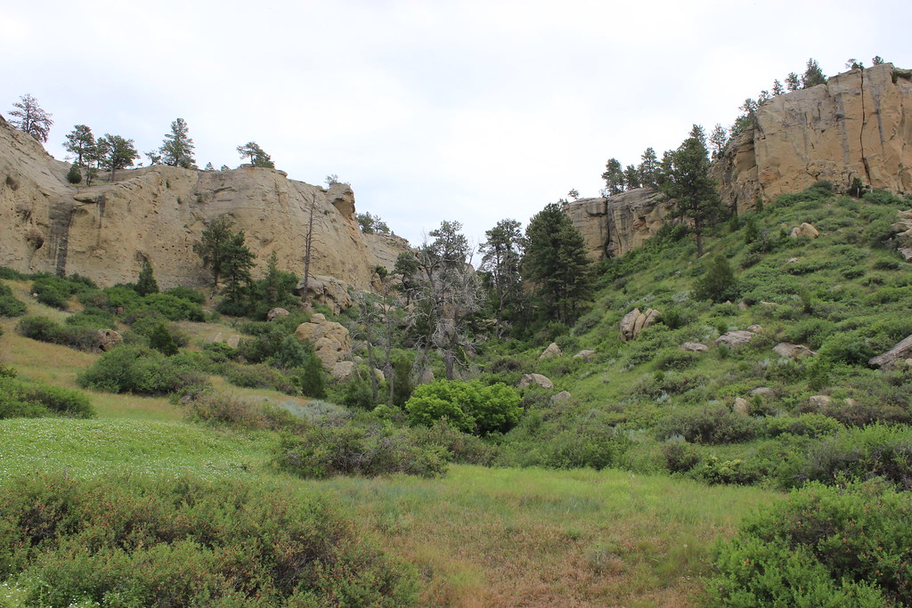 The Loop TrailHikingPhoto: AllAroundTheWest, CC BY-SA 2.0 (via Flickr)7.5 mi
- Billings RimrocksRock climbing8.3 mi
- GregoryRock climbing8.3 mi
- Rockwood CircleRock climbing8.6 mi
Source: Roamze catalog (indexable pages within 10 miles, PostGIS distance)
- The Loop TrailHiking · ~13 min drivePhoto: AllAroundTheWest, CC BY-SA 2.0 (via Flickr)
 Bighorn Head Gate TrailHiking · ~1h 14m drivePhoto: Matt Lavin, CC BY-SA 2.0 (via Flickr)
- Big PryorHiking · ~1h 18m drive
- Crater Ice CaveHiking · ~1h 21m drive
- Rims Mountain Bike PathHiking · ~12 min drive
- Beaver Pond Nature TrailHiking · ~1h 16m drivePhoto: Matt Lavin, CC BY-SA 2.0 (via Flickr)
- Shriver Peak RoadHiking · ~1h 21m drive
- Freight TrailHiking · ~17 min drive
- Three Mile Access TrailHiking · ~1h 15m drive
- Wagon TrailHiking · ~18 min drive
Best time to visit Walking path at John H Dover Park
Best months: April–June and August–October. Best months have typical highs of 55–85 °F, lows of 30 °F or warmer (32 °F where the station doesn't record snow), at most one snowy day and no more than 12 wet days.
Jan
37° / 14°
5 wet · 4 snow
Feb
41° / 17°
5 wet · 3 snow
Mar
51° / 25°
6 wet · 2 snow
Apr
59° / 33°
8 wet · 1 snow
May
68° / 42°
11 wet
Jun
77° / 50°
10 wet
Jul
86° / 56°
7 wet
Aug
85° / 54°
5 wet
Sep
75° / 45°
6 wet
Oct
60° / 34°
7 wet · 1 snow
Nov
47° / 24°
5 wet · 2 snow
Dec
37° / 16°
5 wet · 4 snow
Typical high / low (°F) and days with rain or snow, 1991–2020. Measured at Billings Wtp, MT, 5.7 mi away at 3,097 ft. Source: NOAA NCEI U.S. Climate Normals 1991–2020.
Map and trail data © OpenStreetMap contributors
