Loading…

Beaver Pond Nature Trail
Free — you'll pick up right here.
Watch this trail
Sign up to watch it — saving subscribes you to gate, closure and report changes.
Montana
We won't guess. Here is exactly what we do and don't know.
What we do know
Inside Bighorn Canyon National Recreation Area
National Park unit boundary is mapped — agency alerts for it feed this page automatically.
Boundary data
What's missing
No access route mapped
We don't yet know which road reaches this trailhead, so we can't tell you if it's gated.
Nobody's filed a report here yet — be the first.
Beaver Pond Nature Trail
AI-suggested draft · review before you go
No elevation data on file for this trail.
Beaver Pond NatureTrail: Moderate, 2.6 Mile Round Trip Begin hiking at the west end of the sidewalk at the Afterbay Contact Station. Travel across the yucca flats to the ridge above Lime Kiln Creek. Below, the creek is covered with gnawed trees and other building materials. This is one construction site you will want to take a closer look at. The trail begins to wind down the steep hillside to the bottom, where you can sit among the beaver ponds and marvel at these creatures’ ingenuity. If you are looking for a longer hike, cross the bridge and make your way along the opposite plateau. The views of the Afterbay are yours alone to enjoy. The trail continues to the service road. You come to a “T” in the road. Take the right to end your hike at the Afterbay Campground for a total of 1.3 miles each way.
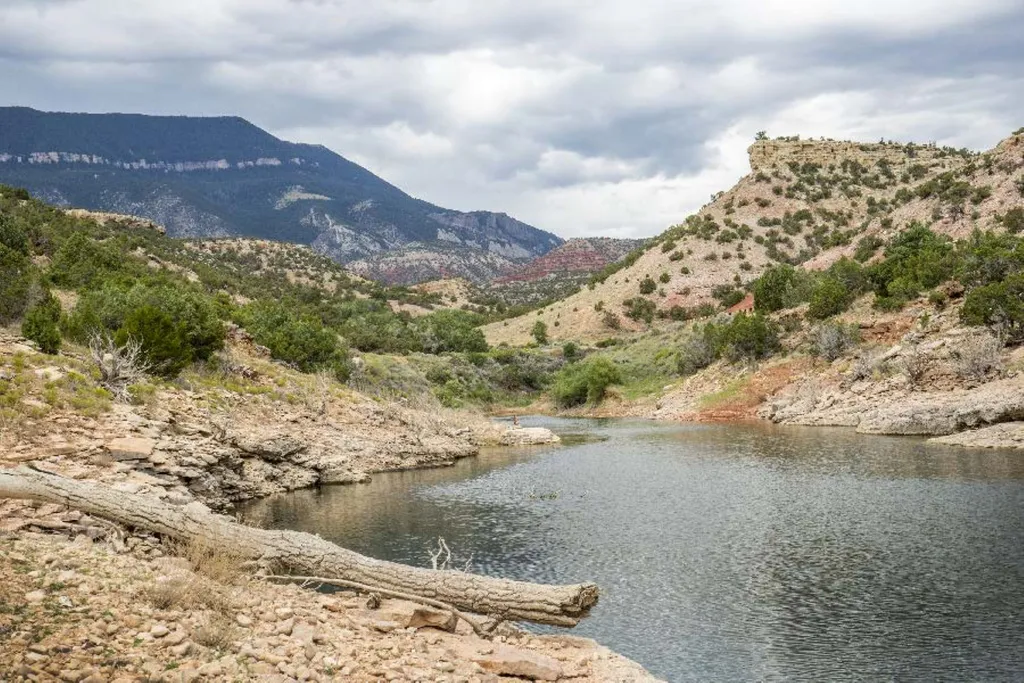
Barry’s Island Trail
~35 min drive
Barry’s Island Trail: Moderate, 4 Miles Round Trip The Barry’s Island trail starts as a two-track road leading north from the Barry’s Landing parking lot. The trail goes around Chain Canyon, a secret escape route for cattle rustlers in the late 1800s and early 1900s. At Barry…

Tillets Hole
~56 min drive
3.6 mi · Moderate

Dry Fork Ridge
~56 min drive
2.9 mi · Easy
West Pass Stock
~56 min drive
8.9 mi · Hard
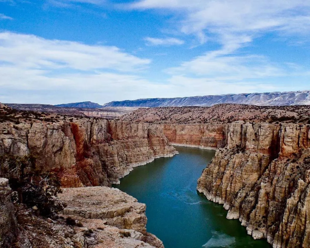
Lower Layout Creek Trail
~39 min drive
Lower Layout Creek Trail: Easy to Moderate, 3.4 Miles Round Trip The Lower Layout Creek trailhead is located at the cattle guard that marks the northern end of the Pryor Mountain Wild Horse Range. At the cattle guard, park on either side of the road making sure you are not bl…
null
~35 min drive
Strenuous 10-mile alpine climb with 5,000 ft elevation gain.
Sage Creek
~39 min drive
Easy sagebrush walk near Sage Creek with minimal elevation gain.
Pumpkin Creek
~44 min drive
15 mi · Hard
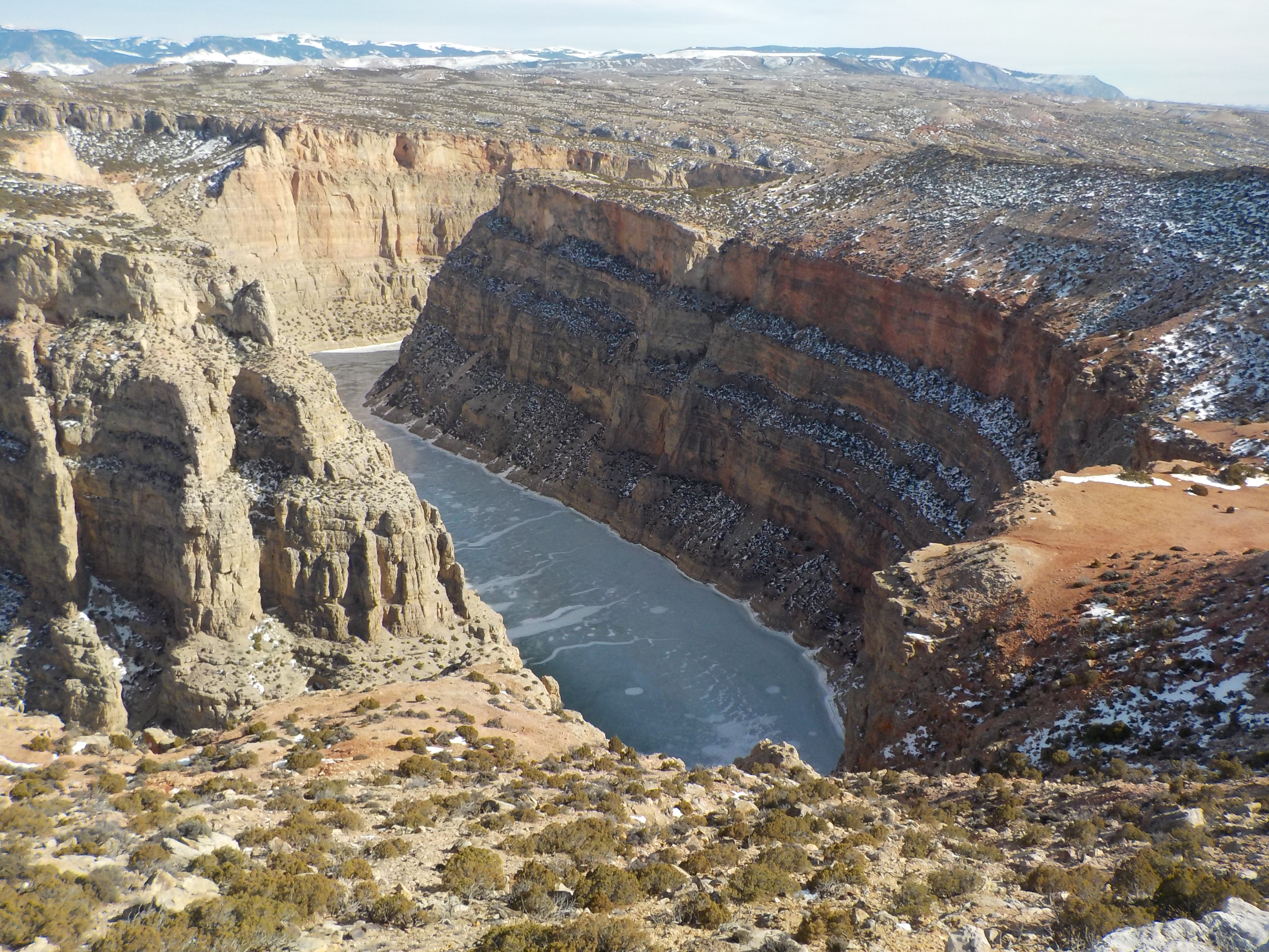
Ranger's Delight Trail
~46 min drive
Ranger's Delight: Easy to Moderate, 0.66 Miles Round Trip Park in the designated area on the west side of the park road one-half mile north of the Montana state line. The trail begins on the east side of the road on the lower north edge of the draw. While following the faint…
South Pasture
~35 min drive
Strenuous 9.94-mile climb with nearly 5,000 ft of elevation gain.

