Loading…

Free — you'll pick up right here.
Watch this trail
Sign up to watch it — saving subscribes you to gate, closure and report changes.
Montana
3.5 mi
Distance
1,678 ft
Gain
2h 1m
Time
An agency closure order is in effect for this area; weather is marginal
2 factors · 2 sources
Newest 20 h ago · oldest 28 d
problem: Agency alerts
17 active alerts in Custer Gallatin National Forest; most severe: Lava Lake (Lee Metcalf Wilderness) Campfire Restriction
USFS28 d ago
caution: Weather
Rain, high 53°F / low 44°F, 82% precip — 65/100 for hike
OpenWeather20 h ago
Been out here in the last few days? One report keeps this current for everyone.
Why you'll love it
Crater Ice Cave
AI-suggested draft · review before you go
No permit or access details on file for this trail — check with the local land manager before you go.
Crater Ice Cave is a moderately challenging 3.55-mile round-trip hike featuring significant elevation gain that rewards hikers with access to a unique ice cave formation. The trail climbs through Montana terrain to reach this geological feature, offering a compelling destination for those seeking something beyond typical summit hikes. The combination of distance and elevation gain makes this an engaging half-day adventure.
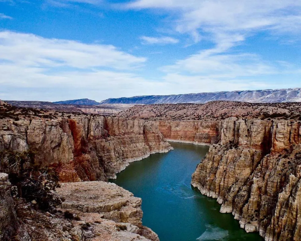
Lower Layout Creek Trail
~20 min drive
Lower Layout Creek Trail: Easy to Moderate, 3.4 Miles Round Trip The Lower Layout Creek trailhead is located at the cattle guard that marks the northern end of the Pryor Mountain Wild Horse Range. At the cattle guard, park on either side of the road making sure you are not bl…

Tillets Hole
~58 min drive
3.6 mi · Moderate
Sage Creek
~10 min drive
Easy sagebrush walk near Sage Creek with minimal elevation gain.
Big Pryor
~10 min drive
Moderate 8.21-mile ridgeline hike in the Big Pryor Mountains with scenic views.
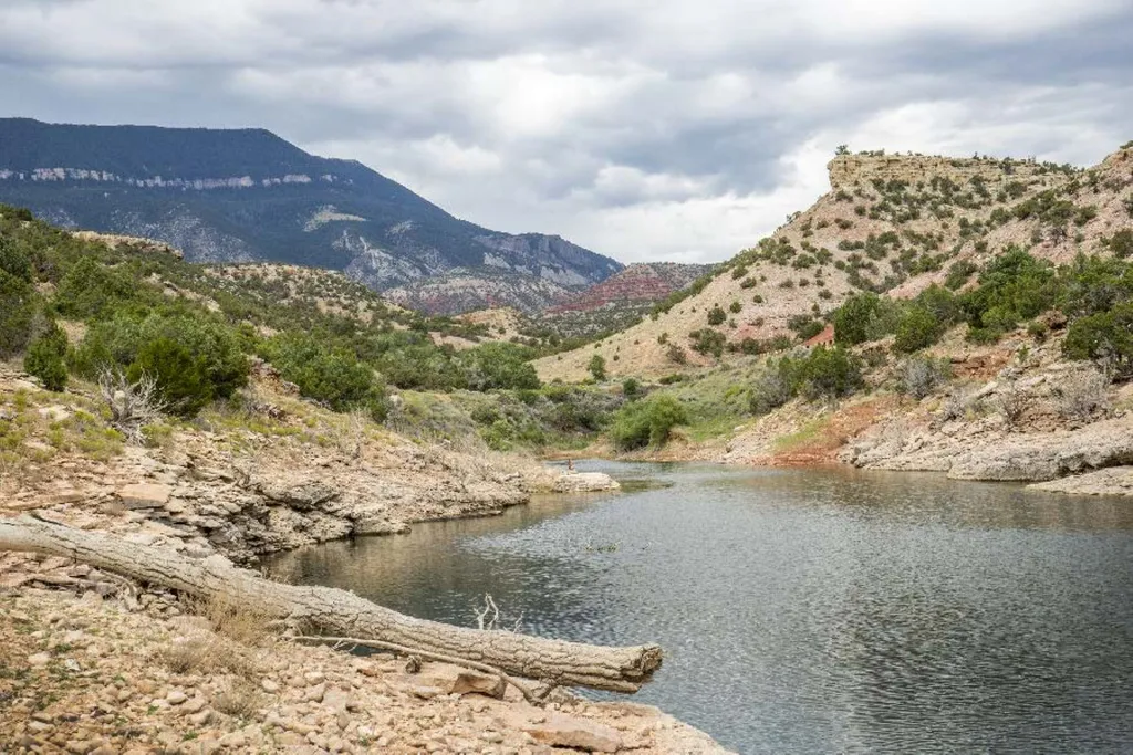
Barry’s Island Trail
~23 min drive
Barry’s Island Trail: Moderate, 4 Miles Round Trip The Barry’s Island trail starts as a two-track road leading north from the Barry’s Landing parking lot. The trail goes around Chain Canyon, a secret escape route for cattle rustlers in the late 1800s and early 1900s. At Barry…
Shriver Peak Road
~1 min drive
Easy 4.5-mile road walk with minimal elevation gain in central Montana.
Porcupine Falls
~59 min drive
0.9 mi · Easy
Lodge Grass
~58 min drive
17 mi · Hard
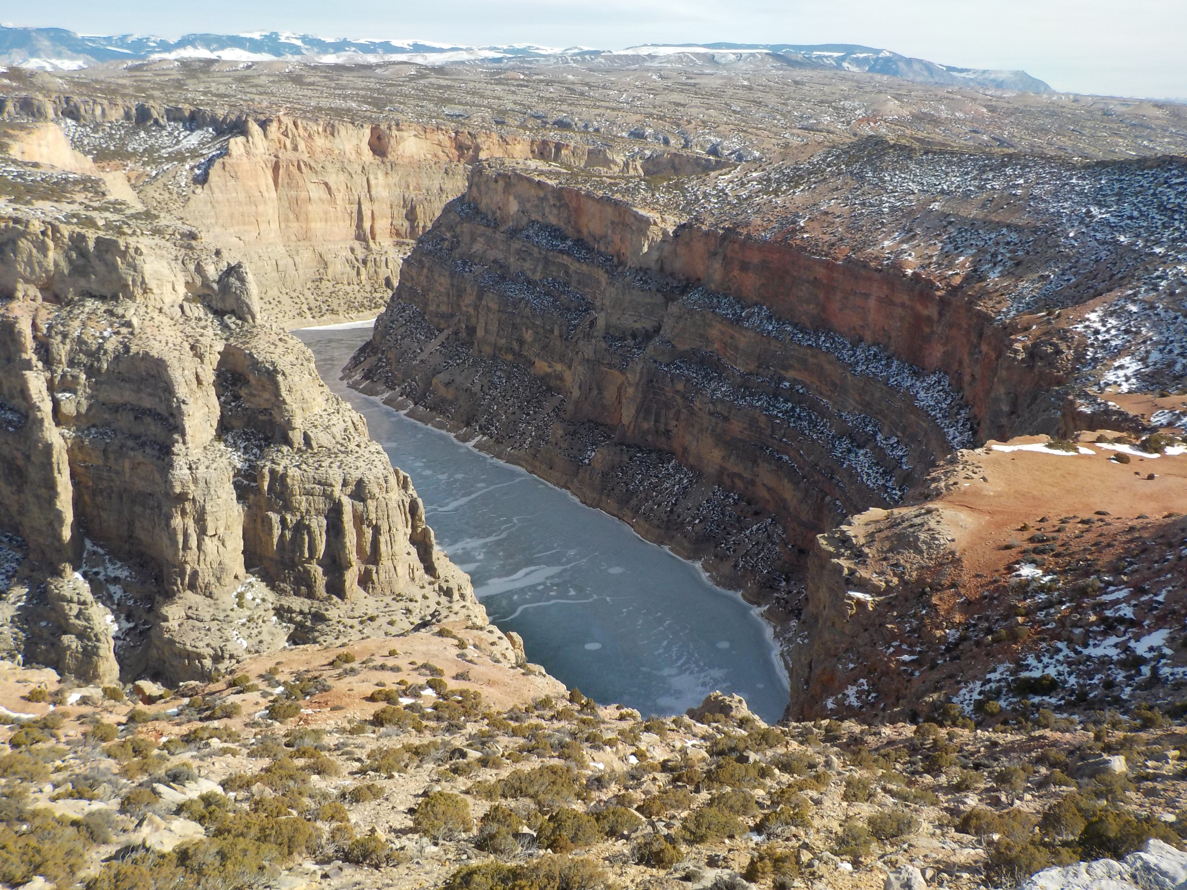
Ranger's Delight Trail
~25 min drive
Ranger's Delight: Easy to Moderate, 0.66 Miles Round Trip Park in the designated area on the west side of the park road one-half mile north of the Montana state line. The trail begins on the east side of the road on the lower north edge of the draw. While following the faint…
South Pasture
~21 min drive
Strenuous 9.94-mile climb with nearly 5,000 ft of elevation gain.
