Rims Mountain Bike Path
- 0.4 mi
- round trip
- 243 ft
- climb
- Singletrack
- surface
- Out and back
- route
- Apr–Jun, Sep–Oct
- best months
Rims Mountain Bike Path is a short, out-and-back mountain biking route in Montana, about 1.1 miles from the town of Cameron Park. The trail is rated moderate, and the one-way climb is only about 15 feet, with the total round trip under 0.7 miles. The path rises from about 3,432 feet to about 3,478 feet, and the steepest section comes near the middle of the route, with a grade of about 19%. That makes it a quick run up and back rather than a long climb. Summer is the most comfortable time to ride. Typical averages from the nearby Billings Logan airport weather station put July highs around 87°F and lows near 59°F, while September cools to highs around 74°F. Winter is cold, with January highs in the mid-30s. Several climbing areas sit close by, including Gregory and Billings Rimrocks, both about 1.5 miles away, and Rockwood Circle at about 1.8 miles. The Shiloh Conservation Trail is about 4.7 miles away for anyone wanting to pair a ride with a hike.
- GregoryRock climbing1.5 mi
- Billings RimrocksRock climbing1.5 mi
- Rockwood CircleRock climbing1.8 mi
- Shiloh Conservation TrailHiking4.7 mi
- Phipps ParkRock climbing6.4 mi
- Walking path at John H Dover ParkHiking7 mi
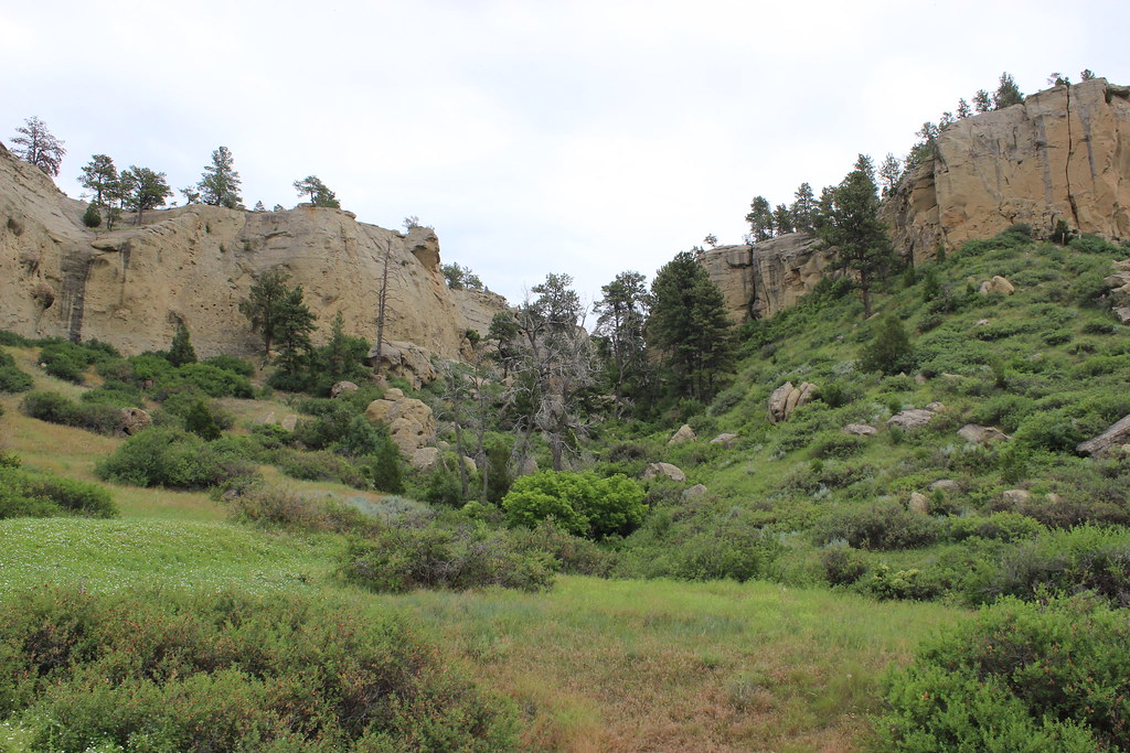 The Loop TrailHikingPhoto: AllAroundTheWest, CC BY-SA 2.0 (via Flickr)7.6 mi
- Freight TrailHiking9.1 mi
Source: Roamze catalog (indexable pages within 10 miles, PostGIS distance)
Best time to visit Rims Mountain Bike Path
Best months: April–June and September–October. Best months have typical highs of 55–85 °F, lows of 30 °F or warmer (32 °F where the station doesn't record snow), at most one snowy day and no more than 12 wet days.
Jan
36° / 18°
7 wet
Feb
39° / 20°
7 wet
Mar
49° / 27°
9 wet
Apr
57° / 35°
10 wet
May
67° / 44°
12 wet
Jun
77° / 52°
11 wet
Jul
87° / 59°
8 wet
Aug
86° / 58°
6 wet
Sep
74° / 49°
7 wet
Oct
59° / 37°
8 wet
Nov
46° / 27°
6 wet
Dec
36° / 19°
6 wet
Typical high / low (°F) and days with rain or snow, 1991–2020. Measured at Billings Logan Intl Ap, MT, 0.8 mi away at 3,581 ft. This station doesn't record snowfall. Source: NOAA NCEI U.S. Climate Normals 1991–2020.
Map and trail data © OpenStreetMap contributors
