Loading…

Free — you'll pick up right here.
Watch this trail
Sign up to watch it — saving subscribes you to gate, closure and report changes.
Montana
2.3 mi
Distance
272 ft
Gain
55 min
Time
We won't guess. Here is exactly what we do and don't know.
What we do know
Inside Custer Gallatin National Forest
3 managing-area boundaries mapped — agency alerts for them feed this page automatically.
Boundary data
What's missing
No access route mapped
We don't yet know which road reaches this trailhead, so we can't tell you if it's gated.
Nobody's filed a report here yet — be the first.
Why you'll love it
Stillwater River
AI-suggested draft · review before you go
No permit or access details on file for this trail — check with the local land manager before you go.
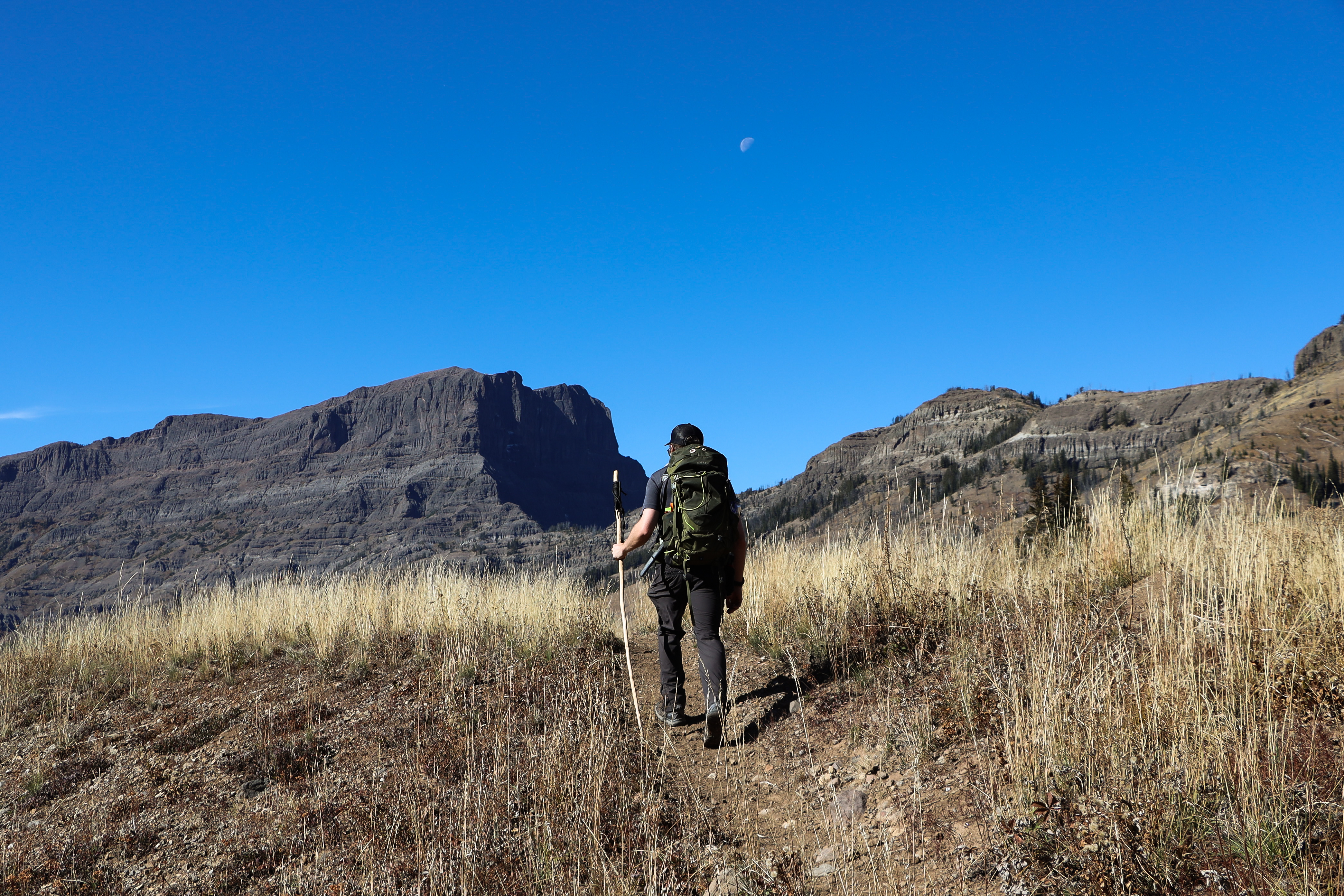
The Stillwater River trail is a scenic 2.31-mile riverside walk through Montana's Stillwater River valley, offering easy access to riparian habitat and mountain views. This short, low-elevation gain hike is perfect for families and casual hikers seeking a peaceful walk along flowing water with minimal technical challenge. The trail showcases the natural beauty of the region's river corridors and provides excellent opportunities for wildlife observation and photography.
Warm Creek Trailhead (3K4)
~11 min drive
From this trailhead you can embark on the following trail: Pebble Creek Trail Parking is available at the trailhead. Vault toilets are available nearby at the Warm Creek Picnic Area. Pebble Creek Trail A 12-mile (19-km) strenuous, one-way hike that begins at the Pebble Cre…

Republic Cr. Trail
~12 min drive
8.2 mi · Hard
Grasshopper Glacier
~7 min drive
Alpine glacier hike with steady climb to high-country views in the Beartooths.
Goose Lake
~8 min drive
Easy, flat lakeside walk under 1 mile with minimal elevation gain.
Upper Slough Trailhead (2N4)
~17 min drive
This is a remote trailhead at the northern boundary of the park that is not accessible by road. From this trailhead, you can embark on the following trail within the park: Slough Creek Trail
Lake Abundance Creek
~2 min drive
15.7-mile creek drainage hike with 1,482 ft elevation gain through Montana backcountry.
Sheep Creek Basin
~8 min drive
Moderate 5.4-mile alpine basin hike with 927 ft gain and scenic subalpine views.
Companion Lake
~8 min drive
Short alpine lake hike with steady climbing through forest to mountain views.
Lost Wolverine
~5 min drive
Remote 21.84-mile backcountry trail with 1,523 ft elevation gain.
Lady of the Lake
~9 min drive
Moderate 11-mile round-trip to a scenic Montana lake with 660 ft elevation gain.