Grasshopper Glacier
- 5.7 mi
- round trip
- 877 ft
- climb
- 10,657 ft
- high point
- Out and back
- route
Caution at last check
Agency alerts are in effect for this area; weather is good · USFS, OpenWeather · checked 21 h ago
Is Grasshopper Glacier open right now?
Closure in the area
There's a closure order in Beartooth Ranger District. It doesn't name Grasshopper Glacier, so check the source for the area it covers (14 listed).
Krueger Pond Wild Horse and Burro Gather Closure Area
Agency closure covering Beartooth Ranger District · Order 01-11-82-27-01 · USFS · Beartooth Ranger District
NFSR #1700 South Plateau Road Closure
Agency closure covering Custer Gallatin National Forest · USFS · Custer Gallatin National Forest
Pine Grove Campground Closure
Agency closure covering Beartooth Ranger District · Order 01-11-82-26-04 · USFS · Beartooth Ranger District
Hyalite Porcupine Buffalo Horn Summer Interim Travel Order and Map and Order # 01-11-00-26-02
Agency closure covering Custer Gallatin National Forest · Order 01-11-00-26-02 · USFS · Custer Gallatin National Forest
Hyalite Porcupine Buffalo Horn Winter Interim Travel Order and Map Order Number: #01-11-00-26-01
Agency closure covering Custer Gallatin National Forest · USFS · Custer Gallatin National Forest
As of · Source: USFS · Beartooth Ranger District. Agencies don't list every closure — check before you go.
Grasshopper Glacier is a moderate out-and-back hike in the Absaroka-Beartooth Wilderness, part of the Beartooth Ranger District of Custer Gallatin National Forest in Montana. The trail runs about 5.7 miles round trip, with an elevation gain of 877 feet, from a low point of 9,777 feet to a high of 10,657 feet. The Forest Service manages the land, and the trail is open from June 1 to September 30. The route is natural-surfaced and allows horses, but not bikes. The closest trailhead is the Goose Lake parking area, about 1.2 miles away. Several other hikes sit within a few miles, including Goose Lake, Zimmer Creek and Companion Lake. For an overnight stay, Soda Butte Campground is about 5.6 miles away.
- Goose LakeHiking1.2 mi
- Zimmer CreekHiking1.5 mi
- Companion LakeHiking2 mi
- Lady of the LakeHiking3 mi
- ColterCamping5.4 mi
- Soda Butte CampgroundCamping5.6 mi
- South Central RegionRock climbing7.4 mi
- Fox Creek CampgroundCamping9.8 mi
Source: Roamze catalog (indexable pages within 10 miles, PostGIS distance)
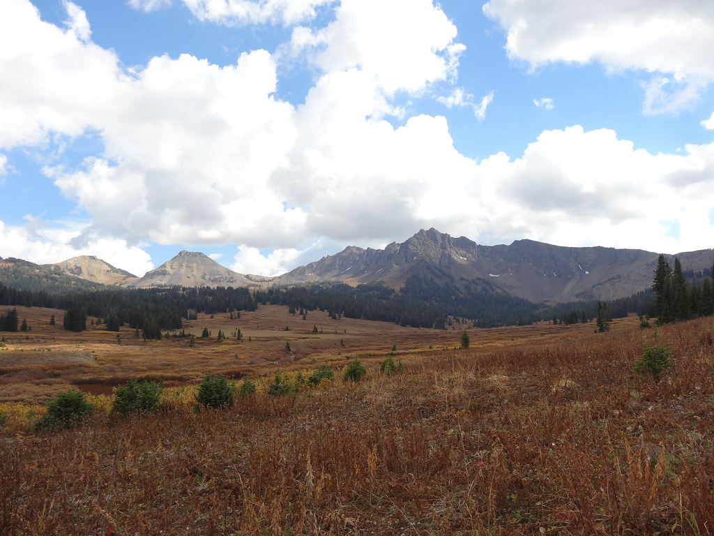 Wolverine Pass CutoffHiking · ~8 min drivePhoto: Forest Service - Northern Region, Public Domain Mark (via Flickr)
 Black Warrior TrailHiking · ~9 min drivePhoto: Matt Lavin, CC BY-SA 2.0 (via Flickr)
- Warm Creek Trailhead (3K4)Hiking · ~15 min drive
- Lower Lady of the LakeHiking · ~7 min drive
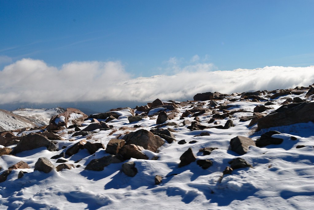 Soda Butte Creek TrailHiking · ~9 min drivePhoto: richsandroid, CC BY 2.0 (via Flickr)
- Sheep Creek BasinHiking · ~10 min drivePhoto: Matt Lavin, CC BY-SA 2.0 (via Flickr)
- Lake of the WoodsHiking · ~11 min drive
- Goose LakeHiking · ~2 min drive
- Lady of the LakeHiking · ~5 min drive
- Lost WolverineHiking · ~11 min drive

