Lost Wolverine Trail
- 0.6 mi
- round trip
- 414 ft
- climb
- 9,723 ft
- high point
- Out and back
- route
Is Lost Wolverine Trail open right now?
Closure in the area
There's a closure order in Custer Gallatin National Forest. It doesn't name Lost Wolverine Trail, so check the source for the area it covers (13 listed).
NFSR #1700 South Plateau Road Closure
Agency closure covering Custer Gallatin National Forest · USFS · Custer Gallatin National Forest
Pine Grove Campground Closure
Agency closure covering Beartooth Ranger District · Order 01-11-82-26-04 · USFS · Beartooth Ranger District
Hyalite Porcupine Buffalo Horn Summer Interim Travel Order and Map and Order # 01-11-00-26-02
Agency closure covering Custer Gallatin National Forest · Order 01-11-00-26-02 · USFS · Custer Gallatin National Forest
Hyalite Porcupine Buffalo Horn Winter Interim Travel Order and Map Order Number: #01-11-00-26-01
Agency closure covering Custer Gallatin National Forest · USFS · Custer Gallatin National Forest
Glacier Lake Road #2421 Closure Order Number: # 01-11-82-26- 01
Agency closure covering Custer Gallatin National Forest · Order 01-11-82-26- · USFS · Custer Gallatin National Forest
As of · Source: USFS · Custer Gallatin National Forest. Agencies don't list every closure — check before you go.
Lost Wolverine Trail is a short, easy out-and-back hike in Montana's Custer Gallatin National Forest, within the Beartooth Ranger District. The trail is about 1.2 miles long, with a total elevation gain of 414 feet, and it starts and ends at roughly 9,381 feet. The high point on the route reaches about 9,723 feet, and the steepest stretch comes at about 0.4 miles in, where the grade reaches 22 percent. The trip takes about half an hour, so it works well as a quick outing. The trail is rolling rather than steep, and the climb is spread out over the course of the route. Henderson Mountain Trail lies just 0.4 miles away, and Black Warrior Trail and Sheep Creek Basin are both within about 2 miles. For an overnight stay, Soda Butte Campground is about 3.3 miles off.
- Henderson Mountain TrailHiking0.4 mi
 Black Warrior TrailHikingPhoto: Matt Lavin, CC BY-SA 2.0 (via Flickr)1.7 mi
- Sheep Creek BasinHikingPhoto: Matt Lavin, CC BY-SA 2.0 (via Flickr)1.8 mi
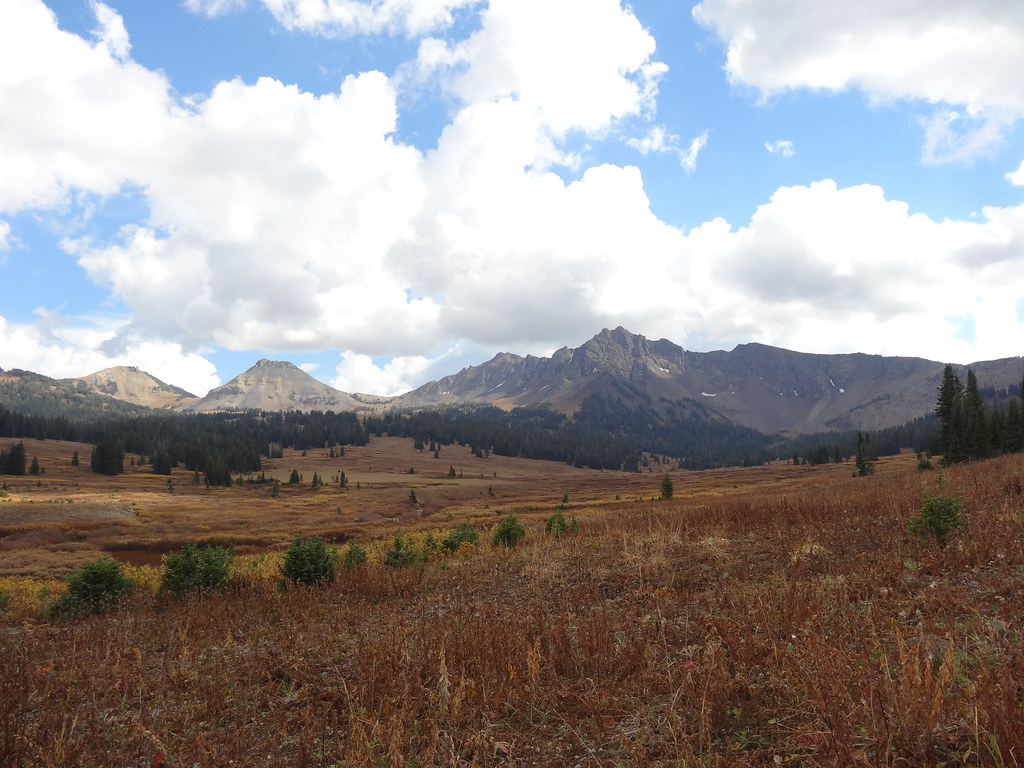 Wolverine Pass CutoffHikingPhoto: Forest Service - Northern Region, Public Domain Mark (via Flickr)1.9 mi
- Soda Butte CampgroundCamping3.3 mi
- ColterCamping3.8 mi
- Fox Creek CampgroundCamping8.4 mi
- Pilot CreekCanoeing8.7 mi
Source: Roamze catalog (indexable pages within 10 miles, PostGIS distance)
- Black Warrior TrailHiking · ~3 min drivePhoto: Matt Lavin, CC BY-SA 2.0 (via Flickr)
- Wolverine Pass CutoffHiking · ~3 min drivePhoto: Forest Service - Northern Region, Public Domain Mark (via Flickr)
- Warm Creek Trailhead (3K4)Hiking · ~9 min drive
- Lower Lady of the LakeHiking · ~6 min drive
- Bliss Pass TrailHiking · ~14 min drive
- Sheep Creek BasinHiking · ~3 min drivePhoto: Matt Lavin, CC BY-SA 2.0 (via Flickr)
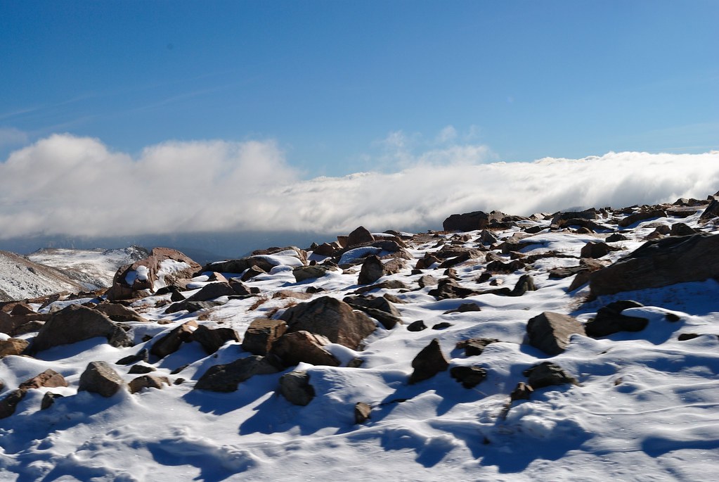 Soda Butte Creek TrailHiking · ~6 min drivePhoto: richsandroid, CC BY 2.0 (via Flickr)
- Upper Slough Trailhead (2N4)Hiking · ~18 min drive
- Lake Abundance CreekHiking · ~6 min drive
- Henderson Mountain TrailHiking · Next door

Map and trail data © OpenStreetMap contributors
