
Yellowstone Safari Company
Hiking business nearby (~41 mi away) — hasn't claimed their Roamze page yet
Free — you'll pick up right here.
Watch this trail
Sign up to watch it — saving subscribes you to gate, closure and report changes.
Montana
0.1 mi
Distance
4 ft
Gain
1 min
Time
We won't guess. Here is exactly what we do and don't know.
What we do know
Inside Custer Gallatin National Forest
3 managing-area boundaries mapped — agency alerts for them feed this page automatically.
Boundary data
What's missing
No access route mapped
We don't yet know which road reaches this trailhead, so we can't tell you if it's gated.
Nobody's filed a report here yet — be the first.
Why you'll love it
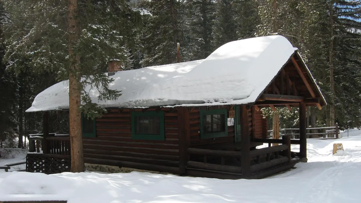
South Fork Sixmile
AI-suggested draft · review before you go
No permit or access details on file for this trail — check with the local land manager before you go.
South Fork Sixmile is an ultra-short trail perfect for families, young children, or anyone seeking a quick nature walk. This minimal-elevation stroll offers an accessible way to explore the South Fork Sixmile area without demanding physical exertion.
Rescue Creek Trailhead (1N2)
~18 min drive
Bunsen Peak prominently sits south of Mammoth Hot Springs. From this trailhead, you can embark on the following trails: Bunsen Peak Trail Bunsen Peak Road Trail Osprey Falls Trail Parking is limited. Winter trailhead access requires a snow coach drop-off, or skiing up from…
North Fork Bear Creek
~5 min drive
Challenging 13-mile backcountry trek with 2,848 ft elevation gain.
Monitor Peak
~8 min drive
Challenging 11.61-mile alpine climb to Monitor Peak with 2,905 ft gain.
Rollercoaster (Xc)
~9 min drive
Short, rolling XC ski trail ideal for beginners and quick winter outings.
Yellowstone River Trail
~16 min drive
Scenic out-and-back hike along Montana's Yellowstone River with wildlife viewing opportunities.
Cedar Creek
~7 min drive
Challenging 20.67-mile backcountry trek with 5,566 ft elevation gain in remote Montana wilderness.
Little Trail Creek
~11 min drive
Steep 4-mile Montana creek-side climb with 2,343 ft elevation gain.
Schultz Knob (Xc)
~10 min drive
Easy 2.5-mile knob hike with minimal elevation gain.
Yankee Jim Canyon Interp
~18 min drive
Easy interpretive out-and-back in Yankee Jim Canyon with scenic views.
Knox Lake
~8 min drive
Strenuous 13.86-mile alpine lake hike with 2,900 ft elevation gain.
Local operatorsoffering guided trips. You book directly with them — Roamze doesn’t take a cut.
Yellowstone Safari Company
Hiking business nearby (~41 mi away) — hasn't claimed their Roamze page yet