Old Yellowstone Trail-005
Campground
Campground · 4.6 mi from the trail
Closure in the area
There's a closure order in Custer Gallatin National Forest. It doesn't name Cedar Creek, so check the source for the area it covers (14 listed).
NFSR #1700 South Plateau Road Closure
Agency closure covering Custer Gallatin National Forest · USFS · Custer Gallatin National Forest
Tom Miner Campground Closure
Agency closure covering Gardiner Ranger District · Order 01-11-03-26-02 · USFS · Gardiner Ranger District
Hyalite Porcupine Buffalo Horn Summer Interim Travel Order and Map and Order # 01-11-00-26-02
Agency closure covering Custer Gallatin National Forest · Order 01-11-00-26-02 · USFS · Custer Gallatin National Forest
Hyalite Porcupine Buffalo Horn Winter Interim Travel Order and Map Order Number: #01-11-00-26-01
Agency closure covering Custer Gallatin National Forest · USFS · Custer Gallatin National Forest
Glacier Lake Road #2421 Closure Order Number: # 01-11-82-26- 01
Agency closure covering Custer Gallatin National Forest · Order 01-11-82-26- · USFS · Custer Gallatin National Forest
As of · Source: USFS · Custer Gallatin National Forest. Agencies don't list every closure — check before you go.
Cedar Creek is a hard hike in the Absaroka-Beartooth Wilderness, part of the Gardiner Ranger District of Custer Gallatin National Forest in Montana. The route is an out-and-back that climbs from about 5,300 feet to nearly 9,900 feet, with a total elevation gain of about 5,566 feet over a distance of about 20.7 miles. The trail is on natural surface and allows horses. The trip is open year-round, and the Forest Service manages the land. Plan for a full day or more, and expect a steep climb that makes this a serious outing rather than a short walk. Nearby, South Fork Sixmile and Cutler Lake are both hikes within about 4.5 miles. Climbers can head to Mile 13 Boulders, about 6 miles away, and Bear Creek campground sits roughly 7.4 miles off.
Old Yellowstone Trail-005
Campground
Places © OpenStreetMap contributors
More in EmigrantNot on Roamze yet. Their page has how to reach them.
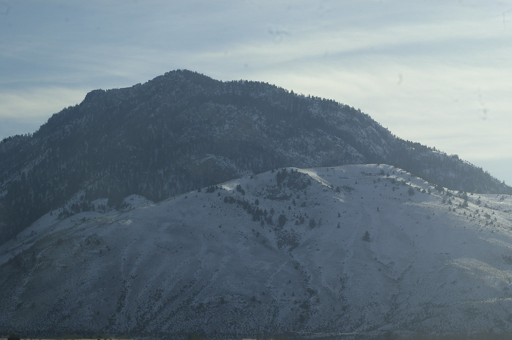 Cutler LakeHikingPhoto: hesyifei, CC BY-SA 2.0 (via Flickr)4.5 mi
Source: Roamze catalog (indexable pages within 10 miles, PostGIS distance)
 Bassett CreekHiking · ~9 min drivePhoto: ahisgett, CC BY 2.0 (via Flickr)
 Yankee Jim Canyon InterpHiking · ~12 min drivePhoto: Juhele_CZ, Public Domain Dedication (CC0) (via Flickr)
 Sphinx CreekHiking · ~12 min drivePhoto: Juhele_CZ, Public Domain Dedication (CC0) (via Flickr)
 Yellowstone River TrailHiking · ~16 min drivePhoto: Forest Service - Northern Region, Public Domain Mark (via Flickr)
 Slip & SlideHiking · ~9 min drivePhoto: Don Henise, CC BY 2.0 (via Flickr)Yankee Jim Toll NorthHiking · ~12 min drivePhoto: Juhele_CZ, Public Domain Dedication (CC0) (via Flickr)
 Beaver Ponds TrailHiking · ~19 min drivePhoto: petemckelvey, CC BY 3.0 (via Wikimedia Commons)
 Beattie GulchHiking · ~12 min drivePhoto: Don Henise, CC BY 2.0 (via Flickr)
