Old Yellowstone Trail-003
Campground
Campground · 0.7 mi from the trail
 Photo: Don Henise, CC BY 2.0 (via Flickr)
Closure in the area
There's a closure order in Custer Gallatin National Forest. It doesn't name Slip & Slide, so check the source for the area it covers (14 listed).
NFSR #1700 South Plateau Road Closure
Agency closure covering Custer Gallatin National Forest · USFS · Custer Gallatin National Forest
Tom Miner Campground Closure
Agency closure covering Gardiner Ranger District · Order 01-11-03-26-02 · USFS · Gardiner Ranger District
Hyalite Porcupine Buffalo Horn Summer Interim Travel Order and Map and Order # 01-11-00-26-02
Agency closure covering Custer Gallatin National Forest · Order 01-11-00-26-02 · USFS · Custer Gallatin National Forest
Hyalite Porcupine Buffalo Horn Winter Interim Travel Order and Map Order Number: #01-11-00-26-01
Agency closure covering Custer Gallatin National Forest · USFS · Custer Gallatin National Forest
Glacier Lake Road #2421 Closure Order Number: # 01-11-82-26- 01
Agency closure covering Custer Gallatin National Forest · Order 01-11-82-26- · USFS · Custer Gallatin National Forest
As of · Source: USFS · Custer Gallatin National Forest. Agencies don't list every closure — check before you go.
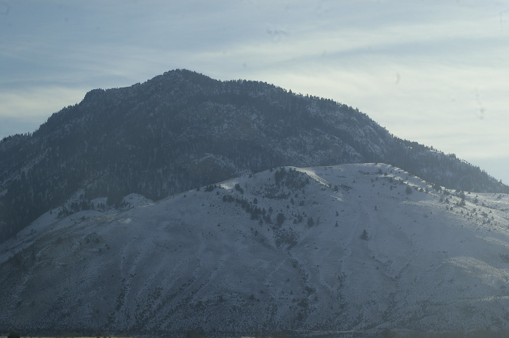
Slip & Slide is a hard hike in the Gardiner Ranger District of Custer Gallatin National Forest in Montana, managed by the Forest Service. The route is an out-and-back that climbs from about 5,055 feet to 8,416 feet, a total gain of 4,162 feet over 18.5 miles. Horses are allowed, and the trail surface is natural. The climb is long and steep, and the route is rated hard. It works well as a base for exploring the surrounding area, which has several climbing areas and other trails within a few miles. Mile 13 Boulders sits about a mile away, and the Fortress Area and Anderson Cave are each about 1.6 miles off. The Yankee Jim Toll South trail is about 1.7 miles away.
Old Yellowstone Trail-003
Campground
Places © OpenStreetMap contributors
More in EmigrantNot on Roamze yet. Their page has how to reach them.
 Yankee Jim Canyon InterpHikingPhoto: Juhele_CZ, Public Domain Dedication (CC0) (via Flickr)1.7 mi
 Yankee Jim Toll SouthHikingPhoto: Juhele_CZ, Public Domain Dedication (CC0) (via Flickr)1.7 miYankee Jim Toll NorthHikingPhoto: Juhele_CZ, Public Domain Dedication (CC0) (via Flickr)2 mi
Source: Roamze catalog (indexable pages within 10 miles, PostGIS distance)
Yankee Jim Canyon InterpHiking · ~3 min drivePhoto: Juhele_CZ, Public Domain Dedication (CC0) (via Flickr)Sphinx CreekHiking · ~4 min drivePhoto: Juhele_CZ, Public Domain Dedication (CC0) (via Flickr) Bassett CreekHiking · ~11 min drivePhoto: ahisgett, CC BY 2.0 (via Flickr)Yankee Jim Toll SouthHiking · ~3 min drivePhoto: Juhele_CZ, Public Domain Dedication (CC0) (via Flickr)
 Buffalo Horn PassHiking · ~20 min drivePhoto: Greg Willis from Denver, CO, usa, CC BY-SA 2.0 (via Wikimedia Commons)
 Cutler LakeHiking · ~4 min drivePhoto: hesyifei, CC BY-SA 2.0 (via Flickr)
 Yellowstone RiverHiking · ~21 min drivePhoto: Forest Service - Northern Region, Public Domain Mark (via Flickr)
 Beattie GulchHiking · ~13 min drivePhoto: Don Henise, CC BY 2.0 (via Flickr)
