Shiloh Conservation Trail
- 0.9 mi
- round trip
- 46 ft
- climb
- 3,250 ft
- high point
- Out and back
- route
- Apr, Jun
- best months
Shiloh Conservation Trail is a short, easy out-and-back hike in Montana, about 2 miles from the town of Yegen. The route is roughly 1.9 miles long, with a total elevation gain of about 46 feet, so it's a flat walk that starts and ends at nearly the same elevation. The trail is an easy choice for a quick outing. The climb is flat, and the steepest part comes at about 0.4 miles in, with a grade of about 2 percent. The high point is around 3,250 feet, and the low point is about 3,234 feet. For comfortable weather, late spring and early fall are the best bets. Typical averages from a nearby weather station in Billings show May highs around 69°F and September highs around 76°F, while July averages climb to about 89°F. Climbers and mountain bikers will find plenty to do close by. Gregory, Rockwood Circle and Billings Rimrocks are all within about 4 miles, and the Rims Mountain Bike Path is about 4.7 miles away.
- GregoryRock climbing3.9 mi
- Rockwood CircleRock climbing4.1 mi
- Billings RimrocksRock climbing4.1 mi
- Rims Mountain Bike PathMountain biking4.7 mi
- Phipps ParkRock climbing5.5 mi
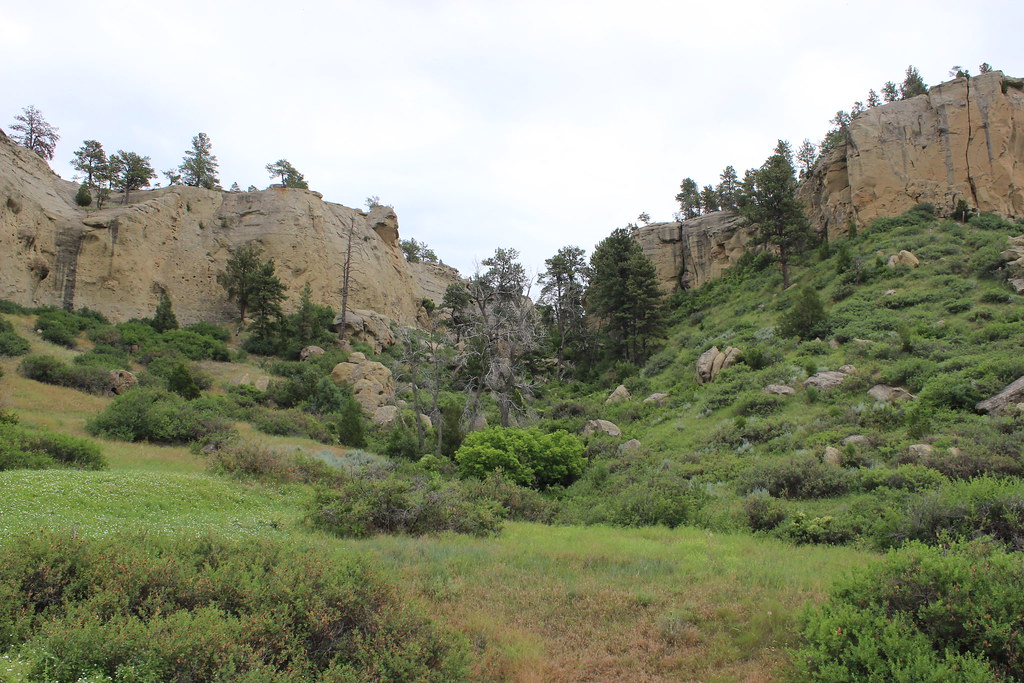 The Loop TrailHikingPhoto: AllAroundTheWest, CC BY-SA 2.0 (via Flickr)9.2 mi
- Freight TrailHiking9.5 mi
Source: Roamze catalog (indexable pages within 10 miles, PostGIS distance)
- The Loop TrailHiking · ~16 min drivePhoto: AllAroundTheWest, CC BY-SA 2.0 (via Flickr)
 Bighorn Head Gate TrailHiking · ~1h 16m drivePhoto: Matt Lavin, CC BY-SA 2.0 (via Flickr)
- Big PryorHiking · ~1h 6m drive
- South PastureHiking · ~1h 24m drive
- Crater Ice CaveHiking · ~1h 11m drive
- Shiloh Conservation TrailHiking · Next door
- Beaver Pond Nature TrailHiking · ~1h 18m drivePhoto: Matt Lavin, CC BY-SA 2.0 (via Flickr)
- nullHiking · ~1h 24m drive
- Shriver Peak RoadHiking · ~1h 11m drive
- Rims Mountain Bike PathHiking · ~8 min drive
Best time to visit Shiloh Conservation Trail
Best months: April, June and September–October. Best months have typical highs of 55–85 °F, lows of 30 °F or warmer (32 °F where the station doesn't record snow), at most one snowy day and no more than 12 wet days.
Jan
37° / 15°
7 wet
Feb
41° / 18°
7 wet
Mar
51° / 25°
8 wet
Apr
59° / 34°
10 wet
May
69° / 43°
13 wet
Jun
79° / 51°
11 wet
Jul
89° / 57°
8 wet
Aug
87° / 55°
7 wet
Sep
76° / 46°
8 wet
Oct
61° / 35°
8 wet
Nov
47° / 24°
6 wet
Dec
37° / 17°
6 wet
Typical high / low (°F) and days with rain or snow, 1991–2020. Measured at Billings Wfo, MT, 2.5 mi away at 3,185 ft. This station doesn't record snowfall. Source: NOAA NCEI U.S. Climate Normals 1991–2020.
Map and trail data © OpenStreetMap contributors
