Sheep Mountain Connection B
- 5.4 mi
- round trip
- 2,422 ft
- climb
- 5,296 ft
- high point
- Out and back
- route
- May–Sep
- best months
Is Sheep Mountain Connection B open right now?
Alert in the area
The Forest Service lists an alert for Lolo National Forest.
East Fork Big Creek Road & Trail Closure- Superior Ranger District
Agency alert covering Lolo National Forest · Order 26-003- · USFS · Lolo National Forest
As of · Source: USFS · Lolo National Forest. Agencies don't list every closure — check before you go.
Sheep Mountain Connection B is a 5.4-mile out-and-back hike in the Missoula Ranger District of Lolo National Forest in western Montana, managed by the Forest Service. The trail starts at about 5,294 feet and climbs to a high point of 5,296 feet, with the steepest stretch at about 2.1 miles in, where the grade reaches 20%. The total elevation gain is 555 feet, and the route is rated moderate. The trail is natural-surfaced and open year-round. Bikes are allowed, so it works for hikers and mountain bikers alike. Summer is the most comfortable time to go. Typical averages from a nearby weather station at Potomac, MT, show July and August highs around 82°F with lows in the low 40s, while winter brings highs near 30°F and regular snow days from December through February. That station sits about 1,600 feet lower than the trail's high point, so temperatures on the route run cooler. Sheep Mountain Connection A lies just 0.1 mile away, and the Three Larches and Woods Gulch - Lincoln Hills Tie hikes are within a mile. For an overnight stay, Pattee Canyon Picnic Area is about 9 miles off.
Local outfitters
- Granite Peak RV Resort10 mi away
Not on Roamze yet. Their page has how to reach them.
Best time to go · May–Sep
Best time to visit Sheep Mountain Connection B
Best months: May–September. Best months have typical highs of 55–85 °F, lows of 30 °F or warmer (32 °F where the station doesn't record snow), at most one snowy day and no more than 12 wet days.
Jan
30° / 8°
8 wet · 6 snow
Feb
35° / 9°
6 wet · 5 snow
Mar
45° / 17°
6 wet · 3 snow
Apr
54° / 24°
6 wet · 1 snow
May
64° / 30°
8 wet
Jun
71° / 38°
9 wet
Jul
82° / 41°
6 wet
Aug
82° / 39°
4 wet
Sep
71° / 32°
5 wet
Oct
55° / 23°
7 wet · 1 snow
Nov
39° / 16°
8 wet · 3 snow
Dec
29° / 9°
8 wet · 6 snow
Typical high / low (°F) and days with rain or snow, 1991–2020. Measured at Potomac, MT, 17.4 mi away at 3,690 ft. The station sits about 1,600 ft lower than this place, so expect it a little cooler here. Source: NOAA NCEI U.S. Climate Normals 1991–2020.
Keep exploring — more trails worth the drive
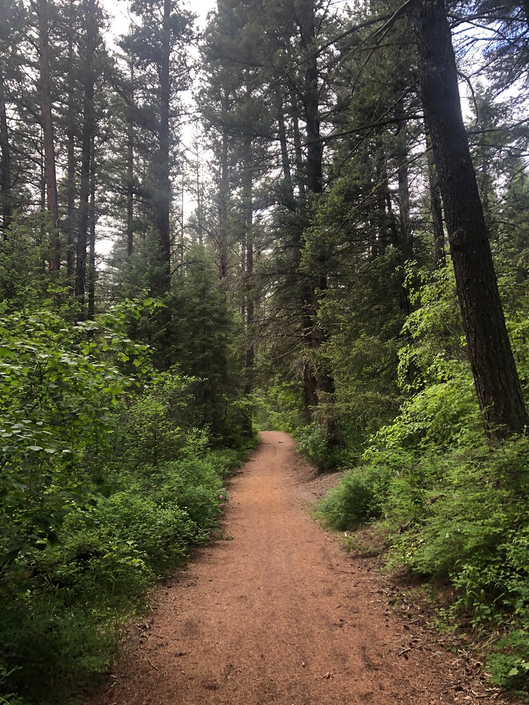 Photo: Forest Service - Northern Region, Public Domain Mark (via Flickr)
Three Larches
~1 min drive
4.38-mile out-and-back trail in Montana with 508 ft elevation gain.
Photo: Forest Service - Northern Region, Public Domain Mark (via Flickr)Sheep Mountain
~2 min drive
28.25-mile out-and-back trail in Montana with 3,314 ft elevation gain.
 Photo: Forest Service - Northern Region, Public Domain Mark (via Flickr)
RATTLESNAKE CREEK CUTOFF A
~3 min drive
1.94-mile out-and-back trail in Montana with 379 ft gain/loss.
Photo: Forest Service - Northern Region, Public Domain Mark (via Flickr)Spring Gulch
~3 min drive
3.64-mile out-and-back trail in Montana with 450 ft elevation gain.
Photo: Forest Service - Northern Region, Public Domain Mark (via Flickr)Stuart Peak
~3 min drive
26.06-mile out-and-back trail to Stuart Peak in Montana with 7,461 ft of elevation gain.
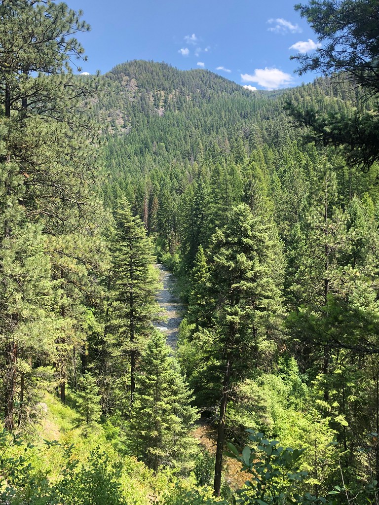 Photo: Forest Service - Northern Region, Public Domain Mark (via Flickr)
WALLMAN CUTOFF A
~3 min drive
1.38-mile out-and-back trail in Montana with 172 ft elevation gain
 Photo: Forest Service - Northern Region, Public Domain Mark (via Flickr)
SAWMILL GULCH CUTOFF D
~5 min drive
2.36-mile out-and-back trail in Montana with 1,250 ft gain/loss and max elevation 4,810 ft.
 Photo: Forest Service - Northern Region, Public Domain Mark (via Flickr)
Rattlesnake Creek
~3 min drive
28.25-mile out-and-back trail in Montana with 1,641 ft of elevation gain.
Photo: Forest Service - Northern Region, Public Domain Mark (via Flickr)Sawmill Gulch Wooten Ranch
~3 min drive
2.68-mile out-and-back trail in Montana with 324 ft gain.
HIKE
Curry
~4 min drive
3.79-mile out-and-back trail in Montana with 729 ft elevation gain.

