
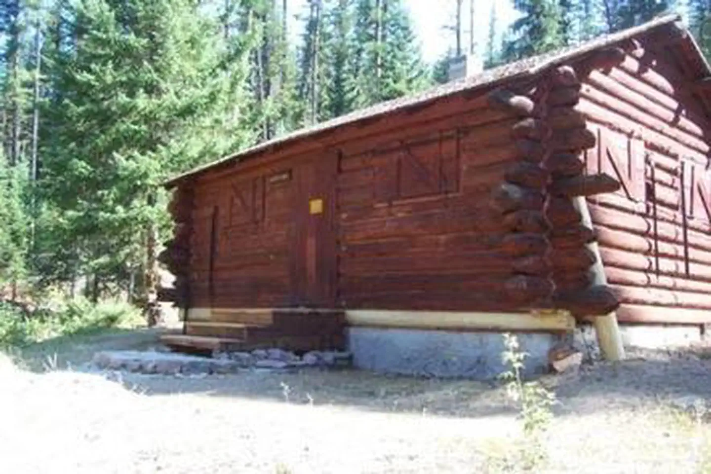
North American RV Park & Yurt Village
Hiking business nearby (~44 mi away) — hasn't claimed their Roamze page yet
Free — you'll pick up right here.
Watch this trail
Sign up to watch it — saving subscribes you to gate, closure and report changes.
Montana
36.2 mi
Distance
866 ft
Gain
12h 29m
Time
Agency alerts are in effect for this area; weather is good
2 factors · 2 sources
Newest 15 h ago · oldest 8 d
caution: Agency alerts
9 active alerts in Flathead National Forest; most severe: Camp Creek Fire Updated Trail Closure
USFS8 d ago
clear: Weather
Clouds, high 51°F / low 51°F, 0% precip — 95/100 for hike
OpenWeather15 h ago
Been out here in the last few days? One report keeps this current for everyone.
Why you'll love it
Schafer Creek
AI-suggested draft · review before you go
No permit or access details on file for this trail — check with the local land manager before you go.
Schafer Creek is a long-distance trail traversing over 36 miles through Montana backcountry, offering an extended wilderness experience for dedicated hikers. The modest elevation gain of 866 feet across this distance suggests a relatively gentle grade, making it accessible for well-prepared backpackers seeking remote scenery and solitude. This trail showcases the expansive landscapes characteristic of Montana's creek valleys and rolling terrain.
Spy Mtn.
~3 min drive
9-mile moderate climb to Spy Mountain with 988 ft elevation gain.
Green Mountain Lookout
~3 min drive
Scenic 3-mile climb to a historic fire lookout with panoramic views.
Dean Creek
~5 min drive
Easy creek-side walk near Dean Creek, Montana.
Gunsight Peak
~8 min drive
Challenging 15.91-mile alpine peak hike with 998 ft elevation gain.
Trail Creek
~7 min drive
Moderate 6.44-mile creek-side climb with 2,343 ft elevation gain.
Red Creek
~15 min drive
Easy 2.1-mile creek-side walk with 290 ft elevation gain near Red Creek.
South Creek-Nanny Creek
~9 min drive
Moderate 8.2-mile creek-side hike with 1,419 ft elevation gain in central Montana.
Webb Lake
~8 min drive
Easy 3.34-mile hike to a scenic alpine lake with minimal elevation gain.
Grouse Creek
~10 min drive
Moderate 7-mile climb through Grouse Creek drainage with 2,042 ft elevation gain.
Capitol Mtn.
~8 min drive
Steep 5.3-mile climb to Capitol Mountain with 2,846 ft elevation gain.
Local operatorsoffering guided trips. You book directly with them — Roamze doesn’t take a cut.
North American RV Park & Yurt Village
Hiking business nearby (~44 mi away) — hasn't claimed their Roamze page yet
Rocky Mountain Outfitter
Hiking business nearby (~46 mi away) — hasn't claimed their Roamze page yet