Lower Twin
 Photo: Forest Service - Northern Region, Public Domain Mark (via Flickr)
- 17.2 mi
- round trip
- 2,172 ft
- climb
- 6,540 ft
- high point
- Out and back
- route
Is Lower Twin open right now?
Alert in the area
The Forest Service lists 5 alerts for Flathead National Forest.
Camp Creek Fire Updated Trail Closure
Agency alert covering Flathead National Forest · Order 01-10- · USFS · Flathead National Forest
FK&L Area Closed to Public Access Starting July 22, 2026
Agency alert covering Flathead National Forest · Order 01-10- · USFS · Flathead National Forest
Trail 800 Tally-Ashely Closure
Agency alert covering Flathead National Forest · Order 01-10- · USFS · Flathead National Forest
Ryan Creek Occupancy and Use Order
Agency alert covering Flathead National Forest · Order 1-10- · USFS · Flathead National Forest
Logan Creek Hoke Creek Closure
Agency alert covering Flathead National Forest · Order 01-10- · USFS · Flathead National Forest
As of · Source: USFS · Flathead National Forest. Agencies don't list every closure — check before you go.
Lower Twin is a hard hike in the Great Bear Wilderness, part of the Spotted Bear Ranger District of Flathead National Forest in northwest Montana. The Forest Service manages the land, and the trail is an out-and-back that climbs from about 3,675 feet to about 6,540 feet over roughly 17 miles, with a total gain of about 2,172 feet. The trail is natural-surface and allows both horses and bikes. It is not an accessible route. Crossover Mtn. sits just 0.2 miles away, and Soldier Creek and Upper Twin Creek are both within about 2.4 miles. For an overnight base, Peter's Creek Campground is about 5.4 miles off.
Local outfitters
- North American RV Park & Yurt Village37 mi away
- Rocky Mountain Outfitter37 mi away
Not on Roamze yet. Their page has how to reach them.
Keep exploring — more trails worth the drive
Photo: Forest Service - Northern Region, Public Domain Mark (via Flickr)Crossover Mtn.
Next door
3.92-mile out-and-back trail in Montana with 1,641 ft of elevation gain.
Photo: Forest Service - Northern Region, Public Domain Mark (via Flickr)Soldier Creek
~3 min drive
12.69-mile out-and-back trail in Montana with 1,128 ft gain.
HIKE
Red Creek
~10 min drive
2.13-mile out-and-back trail in Montana with 290 ft elevation gain.
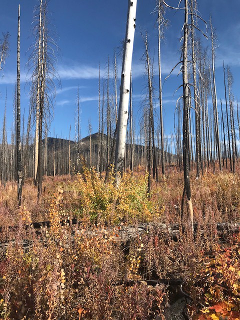 Photo: Forest Service - Northern Region, Public Domain Mark (via Flickr)
Webb Lake
~9 min drive
3.34-mile out-and-back trail to Webb Lake in Montana
HIKE
Upper Twin Creek
~4 min drive
Upper Twin Creek is a 33.87-mile out-and-back trail in Montana with 2,865 ft of elevation gain.
HIKE
TRAIL CREEK CONNECTOR
~14 min drive
2.06-mile out-and-back trail with 655 ft elevation gain and loss in Montana
 Photo: Forest Service - Northern Region, Public Domain Mark (via Flickr)
Castle Lake
~20 min drive
3.36-mile out-and-back trail in Montana with 860 ft elevation gain.
HIKE
Good Trail
~6 min drive
11.66-mile out-and-back trail in Montana with 3,014 ft elevation gain.
HIKE
Conner Creek Connection
~16 min drive
1.00-mile out-and-back trail in Montana with 54 ft elevation gain.
HIKE
Upper Lower Twin Creek
~4 min drive
3.06-mile out-and-back trail in Montana with 155 ft of elevation gain.
