Polaris Lake
- 2.9 mi
- round trip
- 2,384 ft
- climb
- 8,237 ft
- high point
- Out and back
- route
Polaris Lake is a moderate out-and-back hike in Beaverhead National Forest in southwest Montana, managed by the Forest Service. The route is about 5.9 miles long, with a total elevation gain of 2,384 feet, and it starts and ends at about 6,844 feet. The climb is front-loaded, with the steepest stretch at about 0.39 miles in, where the grade reaches 39 percent. The high point on the route is 8,237 feet. The hike takes about three hours to complete. The trail is a single route, and the climb is roughly the same in both directions, so plan for a round trip of about 5.9 miles and 2,384 feet of elevation gain. Nearby, Clark Creek is about 2.6 miles away and Blue Creek about 4.6 miles. Grasshopper Campground (MT) is about 4.8 miles off, and Pear-May-Tub Lake is about 5 miles away.
- CLARK CREEKHiking2.6 mi
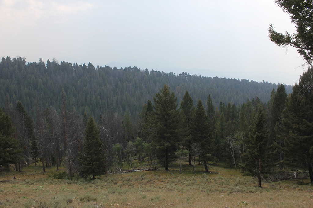 BLUE CREEKHikingPhoto: TexasExplorer98, CC BY 2.0 (via Flickr)4.6 mi
- Grasshopper Campground (MT)Camping4.8 mi
- PEAR-MAY-TUB LAKEHiking5 mi
- GRASSHOPPER RIDGE SKIHiking5.7 mi
- Grasshopper CreekCanoeing6.3 mi
- Lupine ShelterCamping8 mi
- Dinner Station CampgroundCamping9 mi
Source: Roamze catalog (indexable pages within 10 miles, PostGIS distance)
- BLUE CREEKHiking · ~8 min drivePhoto: TexasExplorer98, CC BY 2.0 (via Flickr)
 OLD HOT SRPINGS TRAILHiking · ~10 min drivePhoto: TexasExplorer98, CC BY 2.0 (via Flickr)
 Brownes LakeHiking · ~17 min drivePhoto: TexasExplorer98, CC BY 2.0 (via Flickr)
- PEAR-MAY-TUB LAKEHiking · ~9 min drive
- BIRCH CREEK/BOOT/ANCHOR-PEARHiking · ~16 min drive
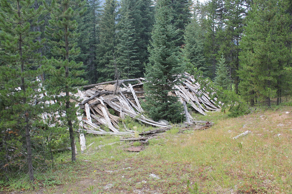 ELKHORN CREEKHiking · ~12 min drivePhoto: TexasExplorer98, CC BY 2.0 (via Flickr)
- OLD TIM CREEKHiking · ~15 min drive
- BOOT AND PEAR LAKEHiking · ~11 min drive
- David CreekHiking · ~18 min drive
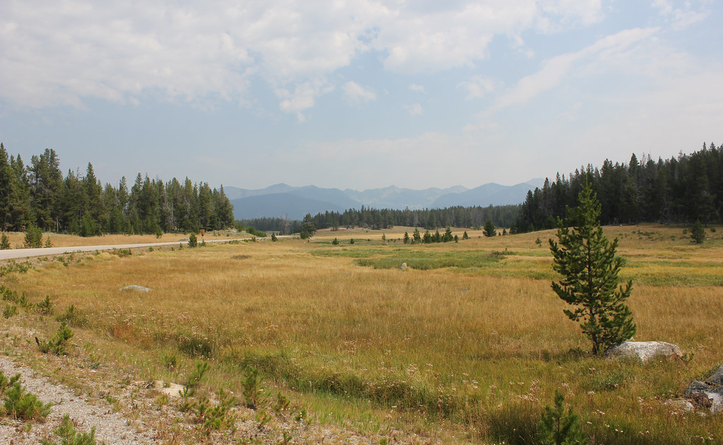 HARRISON PARK TRAILHiking · ~13 min drivePhoto: TexasExplorer98, CC BY 2.0 (via Flickr)
