Elkhorn Creek
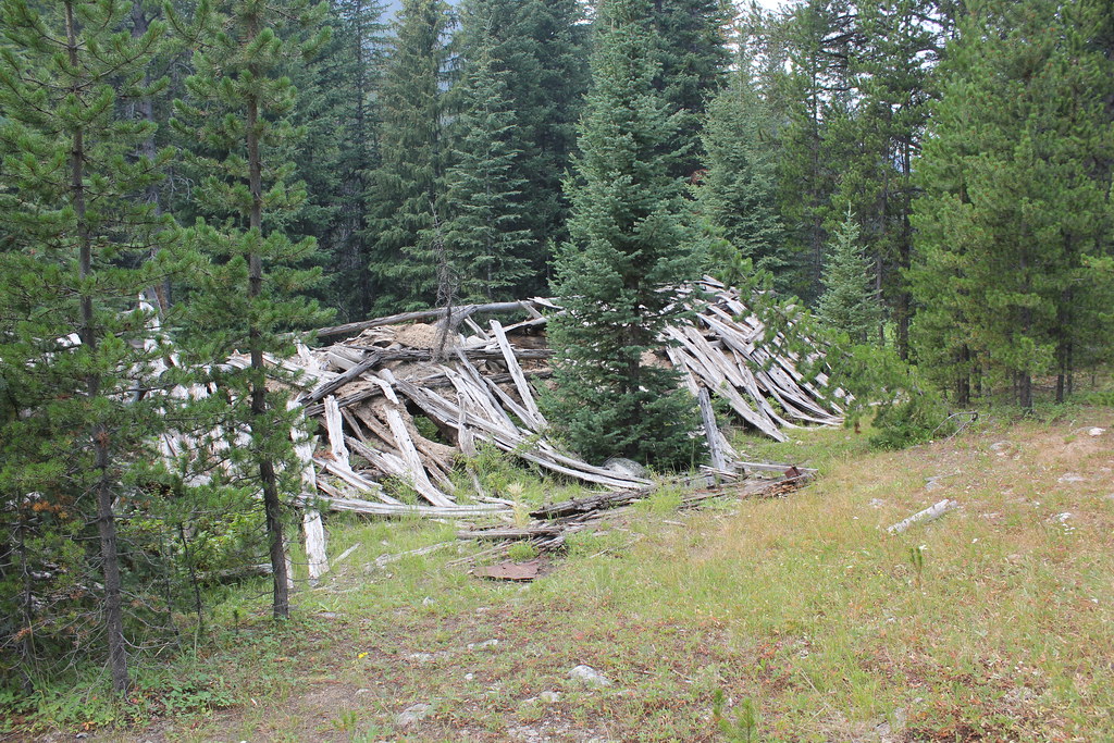 Photo: TexasExplorer98, CC BY 2.0 (via Flickr)
- 2.5 mi
- round trip
- 1,430 ft
- climb
- 8,696 ft
- high point
- Out and back
- route
Is ELKHORN CREEK open right now?
Closure in the area
There's a closure order in Beaverhead-Deerlodge National Forest. It doesn't name ELKHORN CREEK, so check the source for the area it covers (2 listed).
Annual Food Storage Order
Agency closure covering Beaverhead-Deerlodge National Forest · Order 02-00-22-02 · USFS · Beaverhead-Deerlodge National Forest
Pallet Prohibition Order Butte Ranger District
Agency closure covering Beaverhead-Deerlodge National Forest · Order 01020425-01 · USFS · Beaverhead-Deerlodge National Forest
Lost Creek Area - Road Closure
Agency alert covering Beaverhead-Deerlodge National Forest · USFS · Beaverhead-Deerlodge National Forest
Montana BDR Alternative Route
Agency alert covering Beaverhead-Deerlodge National Forest · USFS · Beaverhead-Deerlodge National Forest
Lost Creek Area - Road Closure
Agency alert covering Beaverhead-Deerlodge National Forest · Order 01020826-02 · USFS · Beaverhead-Deerlodge National Forest
As of · Source: USFS · Beaverhead-Deerlodge National Forest. Agencies don't list every closure — check before you go.
Elkhorn Creek is a moderate out-and-back hike of about 5 miles on the Wisdom Ranger District of the Beaverhead-Deerlodge National Forest in southwestern Montana. The trail climbs roughly 1,430 feet from a low point of 7,527 feet to a high of 8,696 feet, and the steepest stretch comes near 2 miles in, where the grade reaches about 21%. The hike is front-loaded, so the hardest climbing is done early on, with the return descent mirroring the climb. With a round-trip elevation gain of about 1,400 feet, plan for roughly 2.5 hours on the trail. The Forest Service manages the land. The trail starts close to Elkhorn Lake, about a tenth of a mile away. Within a few miles are the Grasshopper Ridge Ski hike, the Crystal Trail and the David Creek hike, and the Lupine Shelter campground is about 3.3 miles off.
Local outfitters
- Copper Court RV Park45 mi away
Not on Roamze yet. Their page has how to reach them.
- Elkhorn LakeHiking0.1 mi
- GRASSHOPPER RIDGE SKIHiking2.9 mi
- Crystal TrailHiking3.2 mi
- David CreekHiking3.2 mi
- Lupine ShelterCamping3.3 mi
- Mono Creek CampgroundCamping3.8 mi
- Grasshopper Campground (MT)Camping4.8 mi
- Little Joe CampgroundCamping5.6 mi
Source: Roamze catalog (indexable pages within 10 miles, PostGIS distance)
 OLD HOT SRPINGS TRAILHiking · ~6 min drivePhoto: TexasExplorer98, CC BY 2.0 (via Flickr)
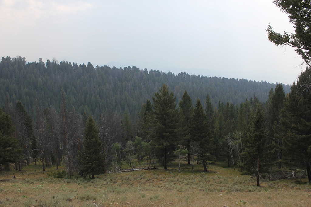 BLUE CREEKHiking · ~9 min drivePhoto: TexasExplorer98, CC BY 2.0 (via Flickr)
 Brownes LakeHiking · ~7 min drivePhoto: TexasExplorer98, CC BY 2.0 (via Flickr)
- BOOT AND PEAR LAKEHiking · ~8 min drive
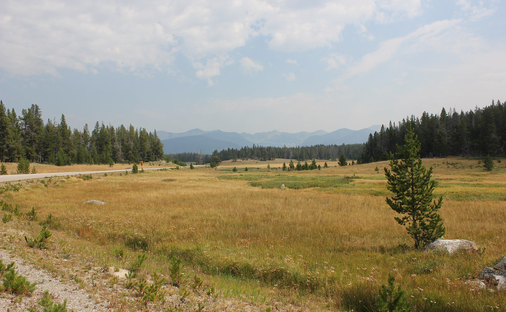 HARRISON PARK TRAILHiking · ~7 min drivePhoto: TexasExplorer98, CC BY 2.0 (via Flickr)
- David CreekHiking · ~5 min drive
- WYMAN - OLD TIM CREEKHiking · ~12 min drive
- PEAR-MAY-TUB LAKEHiking · ~9 min drive
 LION CREEKHiking · ~16 min drivePhoto: GSEC, CC BY 2.0 (via Flickr)
- ODELL CREEKHiking · ~13 min drive
