Old Tim Creek
- 9.0 mi
- round trip
- 3,213 ft
- climb
- 8,437 ft
- high point
- Out and back
- route
Is OLD TIM CREEK open right now?
Closure in the area
There's a closure order in Beaverhead-Deerlodge National Forest. It doesn't name OLD TIM CREEK, so check the source for the area it covers (2 listed).
Annual Food Storage Order
Agency closure covering Beaverhead-Deerlodge National Forest · Order 02-00-22-02 · USFS · Beaverhead-Deerlodge National Forest
Pallet Prohibition Order Butte Ranger District
Agency closure covering Beaverhead-Deerlodge National Forest · Order 01020425-01 · USFS · Beaverhead-Deerlodge National Forest
Lost Creek Area - Road Closure
Agency alert covering Beaverhead-Deerlodge National Forest · USFS · Beaverhead-Deerlodge National Forest
Montana BDR Alternative Route
Agency alert covering Beaverhead-Deerlodge National Forest · USFS · Beaverhead-Deerlodge National Forest
Lost Creek Area - Road Closure
Agency alert covering Beaverhead-Deerlodge National Forest · Order 01020826-02 · USFS · Beaverhead-Deerlodge National Forest
As of · Source: USFS · Beaverhead-Deerlodge National Forest. Agencies don't list every closure — check before you go.
Old Tim Creek is an out-and-back hike in the Dillon Ranger District of Montana's Beaverhead-Deerlodge National Forest, managed by the Forest Service. The route is about 18 miles long, with a total elevation gain of 3,213 feet, and it is rated expert. The trail starts at about 7,400 feet and climbs to a high point of 8,437 feet, with the steepest stretch at about 5.6 miles in, where the grade reaches 19%. The trip takes about 7.5 hours. Plan for a full day, and expect the climb to be the most demanding part of the route. Several other hikes lie within about 5 miles, including Bull Creek, Hunter Creek and Blue Creek. Grasshopper Campground is about 5 miles away, and Harrison Park Trail is about 5.7 miles away.
Local outfitters
- Copper Court RV Park48 mi away
Not on Roamze yet. Their page has how to reach them.
- BULL CREEKHiking4.8 mi
- HUNTER CREEKHiking4.8 mi
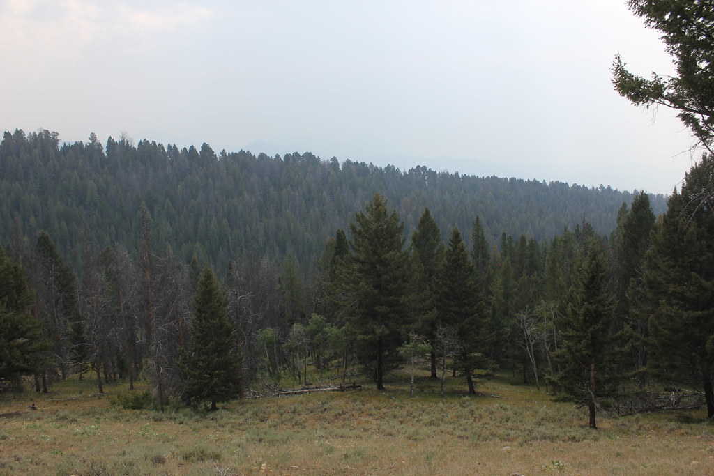 BLUE CREEKHikingPhoto: TexasExplorer98, CC BY 2.0 (via Flickr)4.8 mi
- Grasshopper Campground (MT)Camping5 mi
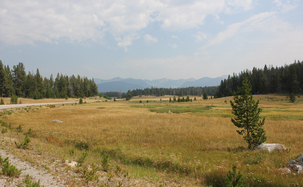 HARRISON PARK TRAILHikingPhoto: TexasExplorer98, CC BY 2.0 (via Flickr)5.7 mi
- Lupine ShelterCamping6.5 mi
- Mono Creek CampgroundCamping8.6 mi
- Little Joe CampgroundCamping9.2 mi
Source: Roamze catalog (indexable pages within 10 miles, PostGIS distance)
- BLUE CREEKHiking · ~8 min drivePhoto: TexasExplorer98, CC BY 2.0 (via Flickr)
- HARRISON PARK TRAILHiking · ~10 min drivePhoto: TexasExplorer98, CC BY 2.0 (via Flickr)
 Brownes LakeHiking · ~15 min drivePhoto: TexasExplorer98, CC BY 2.0 (via Flickr)
- Crystal TrailHiking · ~11 min drive
- ODELL CREEKHiking · ~11 min drive
 OLD HOT SRPINGS TRAILHiking · ~10 min drivePhoto: TexasExplorer98, CC BY 2.0 (via Flickr)
- HUNTER CREEKHiking · ~8 min drive
- Pioneer LoopHiking · ~18 min drive
- WARM SPRINGS CREEKHiking · ~14 min drive
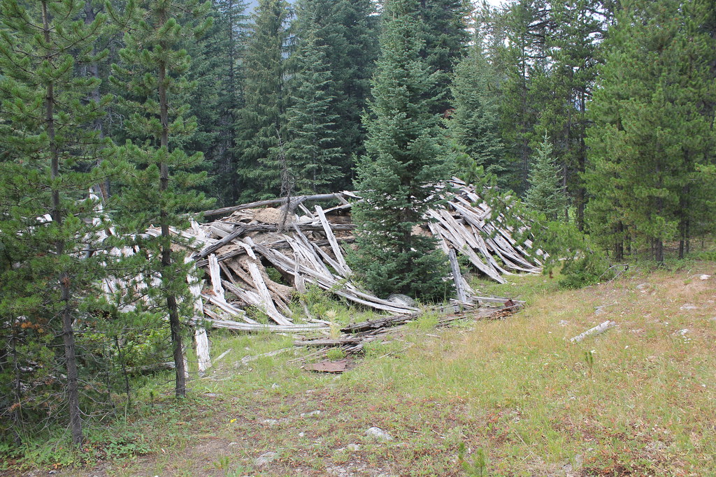 ELKHORN CREEKHiking · ~16 min drivePhoto: TexasExplorer98, CC BY 2.0 (via Flickr)
