Clark Creek
- 2.8 mi
- round trip
- 1,556 ft
- climb
- 8,521 ft
- high point
- Out and back
- route
Clark Creek is a moderate out-and-back hike in southwest Montana, about 1.4 miles from the community of Maverick Mountain. The route covers roughly 5.7 miles, with a total elevation gain of about 1,550 feet, and it peaks at 8,521 feet. The climb is front-loaded, with the steepest stretch at about 2.6 miles in, where the grade reaches 20%. The trail begins at 7,007 feet and returns to that level, so the 1,550-foot gain is the total for the round trip. Summer and early fall are the most comfortable times to go. A nearby weather station records typical averages of about 65°F in July and 55°F in September, while winter temperatures drop well below zero. Several other destinations sit within a few miles. Blue Creek and Polaris Lake are hikes about 2.5 miles away, Grasshopper Campground is about 2.5 miles out, and Mono Creek Campground lies about 7.6 miles away.
Local outfitters
- Copper Court RV Park49 mi away
Not on Roamze yet. Their page has how to reach them.
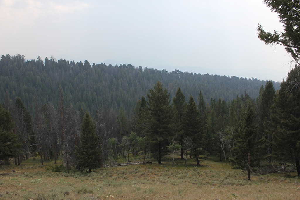 BLUE CREEKHikingPhoto: TexasExplorer98, CC BY 2.0 (via Flickr)2.5 mi
- Grasshopper Campground (MT)Camping2.5 mi
- POLARIS LAKEHiking2.6 mi
- GRASSHOPPER RIDGE SKIHiking3.2 mi
 OLD HOT SRPINGS TRAILHikingPhoto: TexasExplorer98, CC BY 2.0 (via Flickr)3.2 mi
- Lupine ShelterCamping5.4 mi
- Mono Creek CampgroundCamping7.6 mi
- Grasshopper CreekCanoeing8.8 mi
Source: Roamze catalog (indexable pages within 10 miles, PostGIS distance)
- BLUE CREEKHiking · ~4 min drivePhoto: TexasExplorer98, CC BY 2.0 (via Flickr)
- OLD HOT SRPINGS TRAILHiking · ~5 min drivePhoto: TexasExplorer98, CC BY 2.0 (via Flickr)
 Brownes LakeHiking · ~13 min drivePhoto: TexasExplorer98, CC BY 2.0 (via Flickr)
- Crystal TrailHiking · ~8 min drive
- David CreekHiking · ~14 min drive
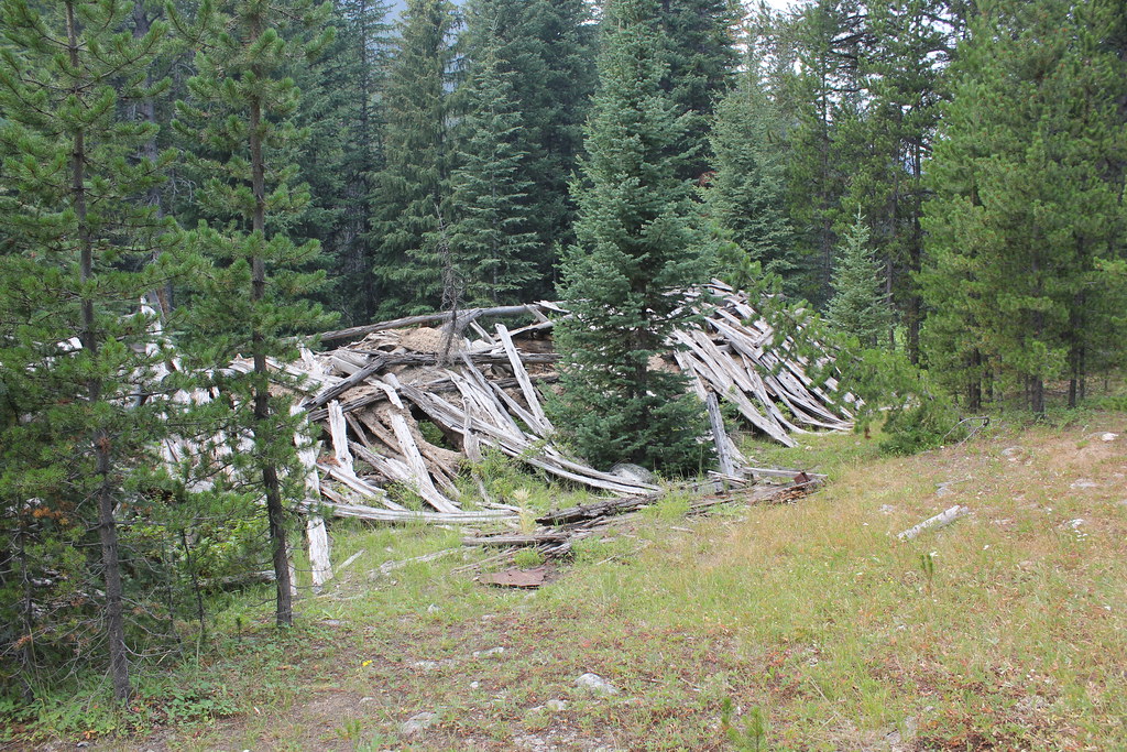 ELKHORN CREEKHiking · ~9 min drivePhoto: TexasExplorer98, CC BY 2.0 (via Flickr)
- OLD TIM CREEKHiking · ~12 min drive
- PEAR-MAY-TUB LAKEHiking · ~8 min drive
- BIRCH CREEK/BOOT/ANCHOR-PEARHiking · ~15 min drive
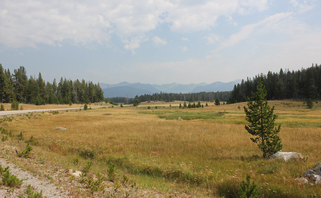 HARRISON PARK TRAILHiking · ~9 min drivePhoto: TexasExplorer98, CC BY 2.0 (via Flickr)
