Marion Lake
- 5.5 mi
- round trip
- 1,232 ft
- climb
- 5,977 ft
- high point
- Out and back
- route
- May–Sep
- best months
Is Marion Lake open right now?
Alert in the area
The Forest Service lists 5 alerts for Flathead National Forest.
Camp Creek Fire Updated Trail Closure
Agency alert covering Flathead National Forest · Order 01-10- · USFS · Flathead National Forest
FK&L Area Closed to Public Access Starting July 22, 2026
Agency alert covering Flathead National Forest · Order 01-10- · USFS · Flathead National Forest
Trail 800 Tally-Ashely Closure
Agency alert covering Flathead National Forest · Order 01-10- · USFS · Flathead National Forest
Ryan Creek Occupancy and Use Order
Agency alert covering Flathead National Forest · Order 1-10- · USFS · Flathead National Forest
Logan Creek Hoke Creek Closure
Agency alert covering Flathead National Forest · Order 01-10- · USFS · Flathead National Forest
As of · Source: USFS · Flathead National Forest. Agencies don't list every closure — check before you go.
Marion Lake is a 5.5-mile out-and-back hike in Montana's Great Bear Wilderness, part of the Hungry Horse Ranger District of the Flathead National Forest. The trail climbs from about 4,126 feet to 5,977 feet, a gain of 1,232 feet, and is rated moderate. The Forest Service manages the land, and the route is natural-surfaced and open to horses. Summer is the most comfortable time to go. Typical averages from a nearby weather station at E Glacier, about 23 miles away, show July and August highs around 74°F with lows in the mid-40s. That station sits roughly 1,200 feet lower than the high point, so temperatures on the trail run cooler. The hike is open year-round. For more time in the area, Essex Creek and Dickey Creek are both within about 2.5 miles. Murray Bay Campground and Riverside Campground are each about 8 miles away.
Local outfitters
- North American RV Park & Yurt Village21 mi away
- Rocky Mountain Outfitter31 mi away
Not on Roamze yet. Their page has how to reach them.
- Essex CreekHiking1.4 mi
- Dickey CreekHiking2.4 mi
 Ole CreekHikingPhoto: GlacierNPS, Public Domain Mark (via Flickr)2.5 mi
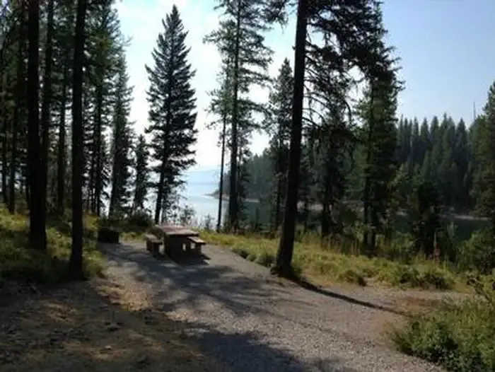 Murray Bay Campground (mt)CampingPhoto: Recreation.gov (RIDB) / public domain7.9 mi
- Riverside Campground (mt)Camping8 mi
- Riverside CampgroundSaltwater fishing8 mi
- Lakeview CampgroundCamping8.4 mi
- Bear CreekCanoeing8.9 mi
Source: Roamze catalog (indexable pages within 10 miles, PostGIS distance)
- South BoundaryHiking · ~3 min drivePhoto: GlacierNPS, Public Domain Mark (via Flickr)
 ScalplockHiking · ~4 min drivePhoto: Forest Service - Northern Region, Public Domain Mark (via Flickr)
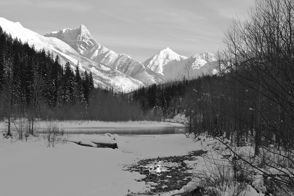 Coal Creek CrossingHiking · ~17 min drivePhoto: roy.luck, CC BY 2.0 (via Flickr)
- Cascadilla CreekHiking · ~19 min drivePhoto: roy.luck, CC BY 2.0 (via Flickr)
- Ole CreekHiking · ~4 min drivePhoto: GlacierNPS, Public Domain Mark (via Flickr)
 Java CreekHiking · ~6 min drivePhoto: Loco Steve, CC BY 3.0 (via Wikimedia Commons)
- Logan-DirtyfaceHiking · ~8 min drive
- Tunnel CreekHiking · ~10 min drive
- Park CreekHiking · ~5 min drivePhoto: Forest Service - Northern Region, Public Domain Mark (via Flickr)
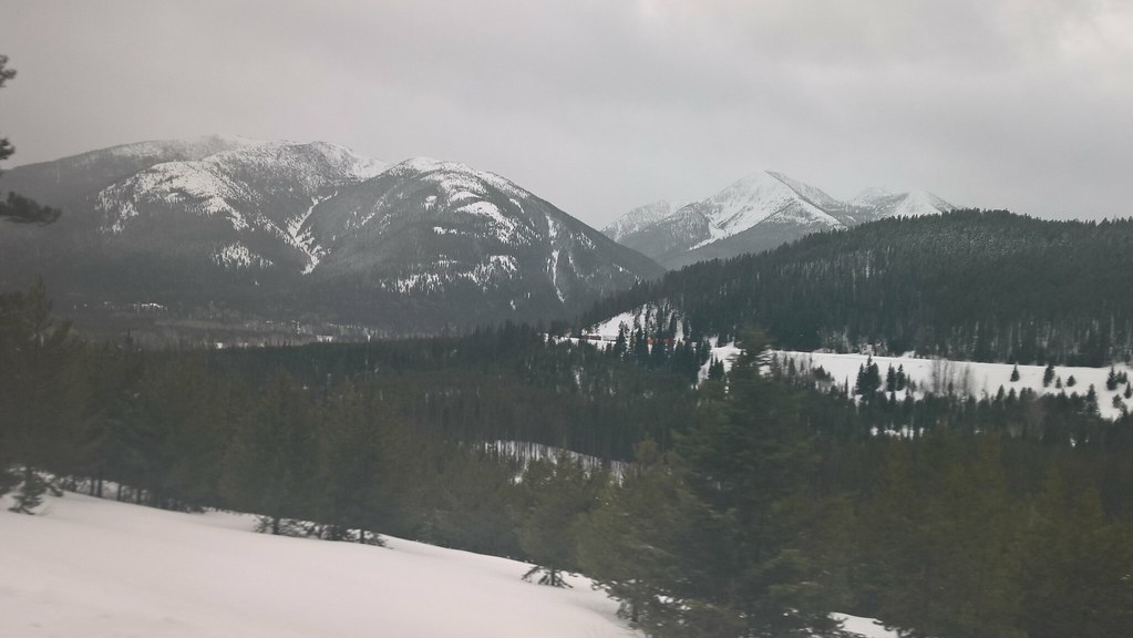 Elk MountainHiking · ~15 min drivePhoto: JimsFlicker, CC BY 2.0 (via Flickr)
Best time to visit Marion Lake
Best months: May–September. Best months have typical highs of 55–85 °F, lows of 30 °F or warmer (32 °F where the station doesn't record snow), at most one snowy day and no more than 12 wet days.
Jan
30° / 13°
Feb
30° / 13°
Mar
37° / 19°
Apr
46° / 27°
May
56° / 34°
Jun
64° / 41°
Jul
74° / 46°
Aug
74° / 44°
Sep
63° / 38°
Oct
50° / 29°
Nov
36° / 22°
Dec
29° / 15°
Typical high / low (°F) and days with rain or snow, 1991–2020. Measured at E Glacier, MT, 22.7 mi away at 4,806 ft. The station sits about 1,200 ft lower than this place, so expect it a little cooler here. This station doesn't record snowfall. Source: NOAA NCEI U.S. Climate Normals 1991–2020.
