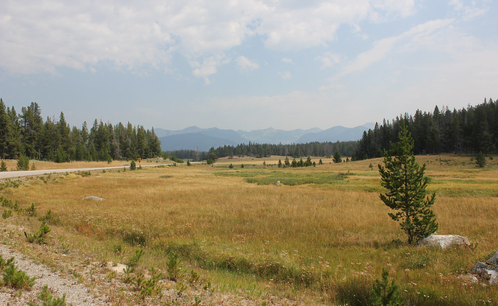
Odell Mountain
- 9,409 ft
- summit
- 1
- way up
Is Odell Mountain open right now?
Closure in the area
There's a closure order in Beaverhead-Deerlodge National Forest. It doesn't name Odell Mountain, so check the source for the area it covers (2 listed).
Annual Food Storage Order
Agency closure covering Beaverhead-Deerlodge National Forest · Order 02-00-22-02 · USFS · Beaverhead-Deerlodge National Forest
Pallet Prohibition Order Butte Ranger District
Agency closure covering Beaverhead-Deerlodge National Forest · Order 01020425-01 · USFS · Beaverhead-Deerlodge National Forest
Lost Creek Area - Road Closure
Agency alert covering Beaverhead-Deerlodge National Forest · USFS · Beaverhead-Deerlodge National Forest
Montana BDR Alternative Route
Agency alert covering Beaverhead-Deerlodge National Forest · USFS · Beaverhead-Deerlodge National Forest
Lost Creek Area - Road Closure
Agency alert covering Beaverhead-Deerlodge National Forest · Order 01020826-02 · USFS · Beaverhead-Deerlodge National Forest
As of · Source: USFS · Beaverhead-Deerlodge National Forest. Agencies don't list every closure — check before you go.
Odell Mountain is a summit of 9,409 feet in the Wisdom Ranger District of the Beaverhead-Deerlodge National Forest in southwestern Montana. The nearest town is Wisdom, about 9 miles away. Odell Lake is about a mile away, and Rabbia Creek is roughly 1.6 miles off. Steel Creek Campground sits about 4 miles away, and Little Joe Campground is about 8 miles away.
Conditions and forecast
Daily highs and lows, wind and the chance of precipitation at the summit and route start for the next 7 days, from the Open-Meteo model.
- Summit elevation
- 9,409 ft
Elevation from USGS 3D Elevation Program terrain data (about 10 m resolution).
Map © Mapbox © OpenStreetMap contributors Questions about Odell Mountain
How tall is Odell Mountain?
9,409 ft (2,868 m).
How many routes go to the summit of Odell Mountain?
One: ODELL MOUNTAIN.
- Odell LakeHiking1.1 mi
- RABBIA CREEKHiking1.6 mi
- SKULL CREEKHiking2.9 mi
- WARM SPRINGS CREEKHiking2.9 mi
- Steel Creek CampgroundCamping4.3 mi
- Little Joe CampgroundCamping8.1 mi
- Mono Creek CampgroundCamping9.1 mi
- Lupine ShelterCamping9.1 mi
Source: Roamze catalog (indexable pages within 10 miles, PostGIS distance)
 Table MountainSummit · ~1h 9m drivePhoto: Mike Cline, CC BY-SA 4.0 (via Wikimedia Commons)
 West PeakSummit · ~1h 7m drivePhoto: Mike Cline, CC BY-SA 4.0 (via Wikimedia Commons)
- Hungry HillSummit · ~50 min drive
- Starlight MountainSummit · ~53 min drive
- Selway MountainSummit · ~54 min drive
- Stein MountainSummit · ~54 min drive
- Hughes PointSummit · ~1h 5m drive
- Silica ButteSummit · ~1h 11m drive
- Indian PeakSummit · ~1h 12m drive
- Rocky KnobSummit · ~1h 18m drive