Warm Springs Creek
- 5.5 mi
- round trip
- 1,171 ft
- climb
- 7,845 ft
- high point
- Out and back
- route
- Jun–Sep
- best months
Is WARM SPRINGS CREEK open right now?
Closure in the area
There's a closure order in Beaverhead-Deerlodge National Forest. It doesn't name WARM SPRINGS CREEK, so check the source for the area it covers (2 listed).
Annual Food Storage Order
Agency closure covering Beaverhead-Deerlodge National Forest · Order 02-00-22-02 · USFS · Beaverhead-Deerlodge National Forest
Pallet Prohibition Order Butte Ranger District
Agency closure covering Beaverhead-Deerlodge National Forest · Order 01020425-01 · USFS · Beaverhead-Deerlodge National Forest
Lost Creek Area - Road Closure
Agency alert covering Beaverhead-Deerlodge National Forest · USFS · Beaverhead-Deerlodge National Forest
Montana BDR Alternative Route
Agency alert covering Beaverhead-Deerlodge National Forest · USFS · Beaverhead-Deerlodge National Forest
Lost Creek Area - Road Closure
Agency alert covering Beaverhead-Deerlodge National Forest · Order 01020826-02 · USFS · Beaverhead-Deerlodge National Forest
As of · Source: USFS · Beaverhead-Deerlodge National Forest. Agencies don't list every closure — check before you go.
Warm Springs Creek is a 11.1-mile out-and-back hike in Montana's Beaverhead-Deerlodge National Forest, within the Wisdom Ranger District. The Forest Service manages the land, and the trail starts at about 7,840 feet, with a high point of 7,845 feet and a low of 7,372 feet. The route gains and loses about 1,171 feet in total, and the steepest stretch comes within the first third of a mile, where the grade reaches about 13 percent. The most comfortable months for the trip are July and August, when typical averages from the nearby Jackson weather station run from the mid-70s to around 77 degrees, with lows in the low 40s. That station sits roughly 1,365 feet below the trail's high point, so temperatures on the summit run cooler. The hike takes about 4.5 hours, and the trail's difficulty is rated hard. Steel Creek Campground lies about 3.2 miles away, and Odell Mountain is 2.3 miles off. Sand Lake and Odell-Steel Creek are both about 3.2 miles from the trail.
Local outfitters
- Copper Court RV Park43 mi away
Not on Roamze yet. Their page has how to reach them.
- ODELL MOUNTAINHiking2.3 mi
- SAND LAKEHiking3.2 mi
- ODELL-STEEL CREEKHiking3.2 mi
- Steel Creek CampgroundCamping3.2 mi
- Odell LakeHiking3.8 mi
- RABBIA CREEKHiking4.2 mi
- LILY LAKE CUT-OFFHiking4.4 mi
- SKULL CREEKHiking5.4 mi
Source: Roamze catalog (indexable pages within 10 miles, PostGIS distance)
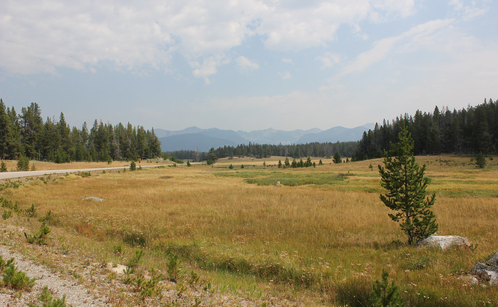 HARRISON PARK TRAILHiking · ~18 min drivePhoto: TexasExplorer98, CC BY 2.0 (via Flickr)
 Brownes LakeHiking · ~19 min drivePhoto: TexasExplorer98, CC BY 2.0 (via Flickr)
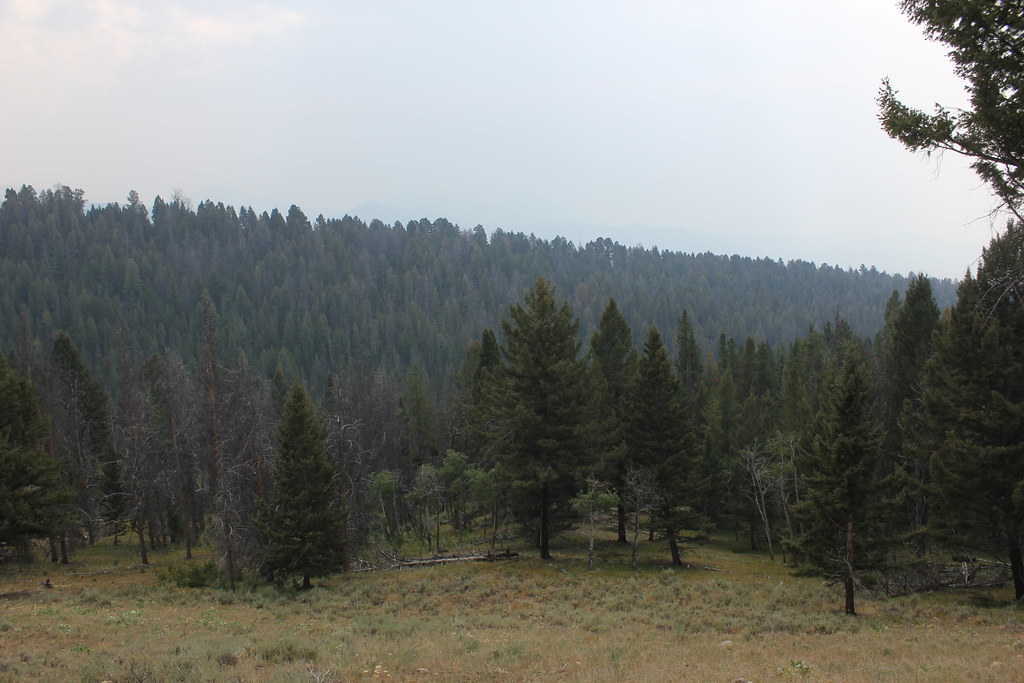 BLUE CREEKHiking · ~21 min drivePhoto: TexasExplorer98, CC BY 2.0 (via Flickr)
- LILY LAKE CUT-OFFHiking · ~7 min drive
 OLD HOT SRPINGS TRAILHiking · ~20 min drivePhoto: TexasExplorer98, CC BY 2.0 (via Flickr)
- WYMAN - OLD TIM CREEKHiking · ~13 min drive
- ODELL-STEEL CREEKHiking · ~5 min drive
- SAND CREEKHiking · ~9 min drive
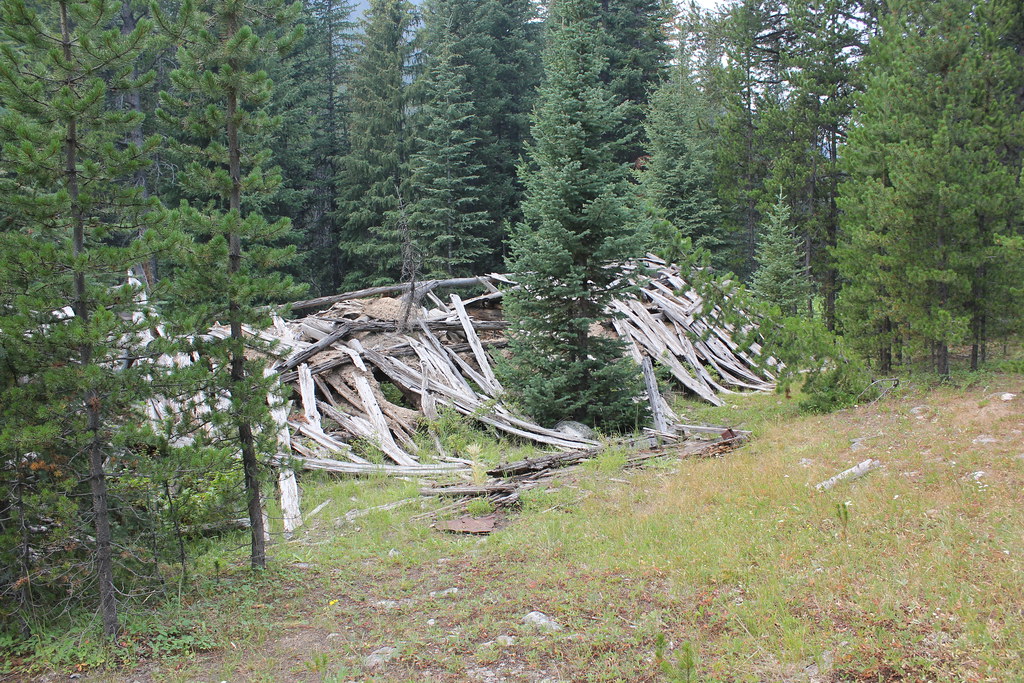 ELKHORN CREEKHiking · ~24 min drivePhoto: TexasExplorer98, CC BY 2.0 (via Flickr)
- OLD TIM CREEKHiking · ~14 min drive
Best time to visit WARM SPRINGS CREEK
Best months: June–September. Best months have typical highs of 55–85 °F, lows of 30 °F or warmer (32 °F where the station doesn't record snow), at most one snowy day and no more than 12 wet days.
Jan
28° / 8°
6 wet
Feb
31° / 8°
6 wet
Mar
39° / 16°
8 wet
Apr
46° / 23°
9 wet
May
57° / 31°
10 wet
Jun
66° / 37°
9 wet
Jul
77° / 42°
6 wet
Aug
76° / 39°
5 wet
Sep
66° / 32°
4 wet
Oct
51° / 25°
5 wet
Nov
36° / 14°
7 wet
Dec
27° / 7°
7 wet
Typical high / low (°F) and days with rain or snow, 1991–2020. Measured at Jackson, MT, 14.1 mi away at 6,480 ft. The station sits about 1,400 ft lower than this place, so expect it a little cooler here. This station doesn't record snowfall. Source: NOAA NCEI U.S. Climate Normals 1991–2020.
