Nya-Nuki Trail System
 Photo: Matt Lavin, CC BY-SA 2.0 (via Flickr)
- 3.4 mi
- round trip
- 751 ft
- climb
- 4,793 ft
- high point
- Out and back
- route
- May–Oct
- best months
Caution today
Weather is marginal · OpenWeather · checked just now
The Nya-Nuki Trail System is a moderate out-and-back hike in Montana, about 0.8 miles from the town of Lux. The route is 6.8 miles long, with a total elevation gain of 508 feet, and it rises from a low point of 4,602 feet to a high of 4,793 feet. The climb is rolling, and the steepest stretch comes at about 1.3 miles in, where the grade reaches 13 percent. Summer is the most comfortable time to go. Typical averages from a nearby weather station in Bozeman show July highs around 83°F with lows near 51°F, while September cools to highs around 72°F. Nearby, the East Gallatin River offers canoeing about 2 miles away, and Sypes Canyon is a hike roughly 3.6 miles off. Mountain bikers can head to the Middle Cottonwood Trail, about 3.9 miles away, and anglers will find the Bozeman District lake fishing area about 5 miles out.
Local outfitters
- Yellowstone Safari Company4 mi away
Not on Roamze yet. Their page has how to reach them.
 East Gallatin RiverCanoeingPhoto: Mike Cline, Public domain (via Wikimedia Commons)2.1 mi
 Sypes CanyonHikingPhoto: Carly Lesser & Art Drauglis from Washington, DC, CC BY-SA 2.0 (via Wikimedia Commons)3.6 mi
- Middle Cottonwood TrailMountain biking3.9 mi
- Bridger Foothills TrailMountain biking4.3 mi
- Bozeman DistrictLake fishing5.2 mi
- Wolverine BowlRock climbing8.8 mi
- Lower ReplicaRock climbing8.8 mi
- Summer Triangle (aka Upper Replica)Rock climbing8.8 mi
Source: Roamze catalog (indexable pages within 10 miles, PostGIS distance)
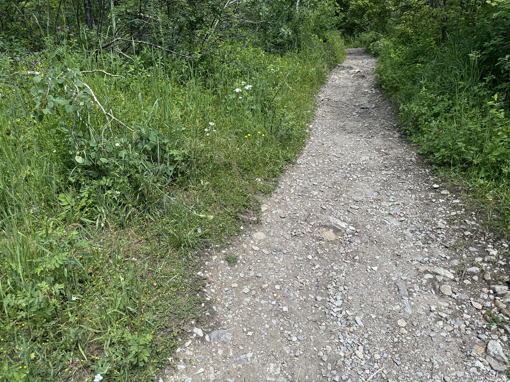 Middle Cottonwood TrailHiking · ~7 min drivePhoto: Matt Lavin, CC BY-SA 2.0 (via Flickr)
 College M ShortcutHiking · ~8 min drivePhoto: Matt Lavin, CC BY-SA 2.0 (via Flickr)
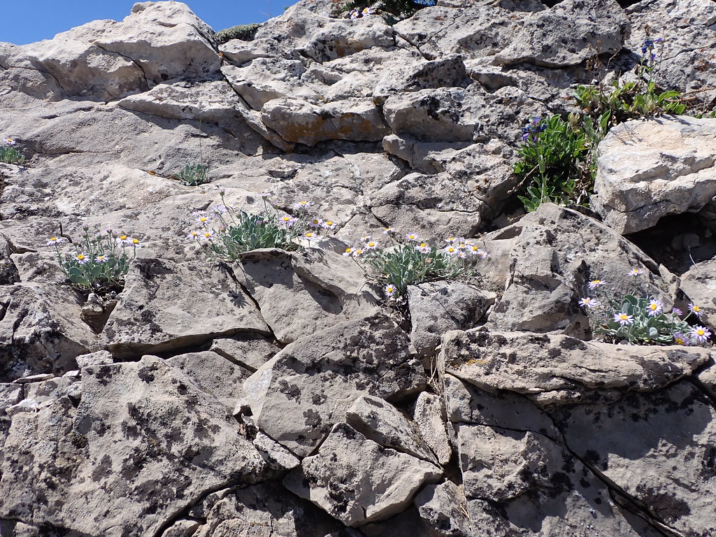 East Bridger SouthHiking · ~14 min drivePhoto: Matt Lavin, CC BY-SA 2.0 (via Flickr)
- Corbly Gulch TrailHiking · ~15 min drive
 South Fork Brackett CreekHiking · ~17 min drivePhoto: Matt Lavin, CC BY-SA 2.0 (via Flickr)
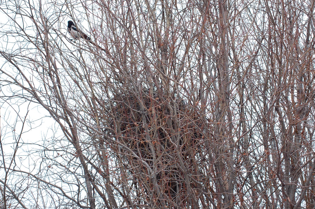 Drinking Horse MountainHiking · ~9 min drivePhoto: Don Henise, CC BY 2.0 (via Flickr)
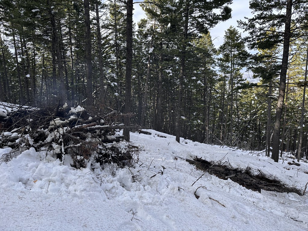 Leverich CanyonHiking · ~19 min drivePhoto: Forest Service - Northern Region, Public Domain Mark (via Flickr)
- Kirk HillHiking · ~19 min drivePhoto: Forest Service - Northern Region, Public Domain Mark (via Flickr)
 Sourdough TrailHiking · ~12 min drivePhoto: Matt Lavin, CC BY-SA 2.0 (via Flickr)
 Chestnut MountainHiking · ~20 min drivePhoto: Matt Lavin, CC BY-SA 2.0 (via Flickr)
Best time to visit Nya-Nuki Trail System
Best months: May–October. Best months have typical highs of 55–85 °F, lows of 30 °F or warmer (32 °F where the station doesn't record snow), at most one snowy day and no more than 12 wet days.
Jan
34° / 15°
6 wet
Feb
37° / 17°
6 wet
Mar
47° / 25°
8 wet
Apr
55° / 31°
10 wet
May
64° / 39°
12 wet
Jun
72° / 45°
12 wet
Jul
83° / 51°
8 wet
Aug
82° / 50°
7 wet
Sep
72° / 42°
7 wet
Oct
58° / 33°
8 wet
Nov
43° / 22°
7 wet
Dec
34° / 15°
6 wet
Typical high / low (°F) and days with rain or snow, 1991–2020. Measured at Bozeman 6 W Exp Farm, MT, 6.7 mi away at 4,775 ft. This station doesn't record snowfall. Source: NOAA NCEI U.S. Climate Normals 1991–2020.
Map and trail data © OpenStreetMap contributors
