Sypes Canyon
 Photo: Carly Lesser & Art Drauglis from Washington, DC, CC BY-SA 2.0 (via Wikimedia Commons)
- 6.4 mi
- round trip
- 1,501 ft
- climb
- 6,821 ft
- high point
- Out and back
- route
Sypes Canyon is a moderate hike in Montana's Bridger Roadless Area, managed by the Forest Service. The trail is about 6.4 miles long and rises roughly 1,500 feet from a low point near 5,200 feet to a high of about 6,821 feet. It is an out-and-back route. The trail is natural-surfaced and allows both horses and bikes, so it works for riders and pack animals as well as hikers. The Bridger Foothills Trail, a mountain biking route, lies about 0.7 miles away, and the Middle Cottonwood Trail is about 1.5 miles off. The Bridger Foothills hike is about 1.8 miles away. Paddlers can reach the East Gallatin River about 2.9 miles from the canyon.
Local outfitters
- Yellowstone Safari Company4 mi away
Not on Roamze yet. Their page has how to reach them.
Keep exploring — more trails worth the drive
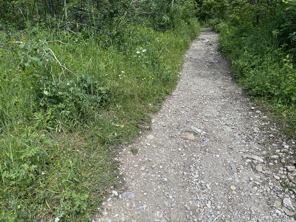 Photo: Matt Lavin, CC BY-SA 2.0 (via Flickr)
Middle Cottonwood Trail
~3 min drive
2.12-mile out-and-back hike in Montana with 552 ft gain and 5,999 ft max elevation.
 Photo: Matt Lavin, CC BY-SA 2.0 (via Flickr)
Bridger Foothills
~3 min drive
12.5-mile out-and-back trail in Montana's Bridger Foothills with 2,924 ft of elevation gain.
Photo: Matt Lavin, CC BY-SA 2.0 (via Flickr)College M
~3 min drive
1.22-mile out-and-back trail in Montana with 305 ft gain.
HIKE
Bangtail Divide Trail
~16 min drive
25.44-mile out-and-back trail in Montana with 4,227 ft elevation gain and 7,943 ft max elevation.
 Photo: Matt Lavin, CC BY-SA 2.0 (via Flickr)
Nya-Nuki Trail System
~6 min drive
4.72-mile out-and-back trail in Montana with 751 ft elevation gain/loss
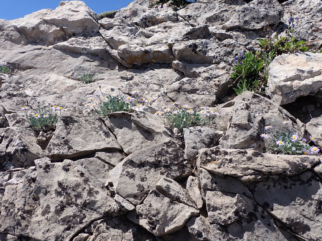 Photo: Matt Lavin, CC BY-SA 2.0 (via Flickr)
East Bridger South
~9 min drive
East Bridger South is an 8.94-mile loop in Montana with 726 ft gain.
 Photo: Matt Lavin, CC BY-SA 2.0 (via Flickr)
College M Shortcut
~4 min drive
0.44-mile out-and-back trail with 433 ft elevation gain in Montana.
HIKE
Corbly Gulch Trail
~15 min drive
11.14-mile out-and-back trail in Montana with 4,811 ft elevation gain.
 Photo: Matt Lavin, CC BY-SA 2.0 (via Flickr)
East Bridger North
~12 min drive
9.29-mile out-and-back trail in Montana with 915 ft gain
 Photo: Matt Lavin, CC BY-SA 2.0 (via Flickr)
Chestnut Mountain
~16 min drive
14.50-mile out-and-back trail at Chestnut Mountain in Montana

