North Fork Bear Creel Trail
- 4.8 mi
- round trip
- 3,249 ft
- climb
- 8,012 ft
- high point
- Out and back
- route
- Jul–Sep
- best months
North Fork Bear Creel Trail is a 9.6-mile out-and-back hike in Bear Creek Wildlife Management Area in southwestern Montana, managed by State Fish and Wildlife. The route begins at about 6,374 feet and climbs to a high point of 8,012 feet, with a total gain of 3,249 feet over the round trip. The climb is front-loaded, and the steepest stretch comes at about 2.3 miles in, where the grade reaches 27%. That makes it a hard hike, and the descent back down mirrors the ascent. Summer is the most comfortable time to go. Typical averages from a nearby weather station at Big Sky put July highs around 78°F and lows near 41°F, while temperatures on this trail run cooler because the station sits well below the route's elevation. Bear Creek Campground is about 0.9 miles away, and the North Fork Bear Creek and North Fork Cutoff trails start within half a mile. Bear Creek Cabin, on the Beaverhead-Deerlodge National Forest, is about 1.3 miles off.
Local outfitters
- Yellowstone Safari Company44 mi away
Not on Roamze yet. Their page has how to reach them.
- NORTH FORK BEAR CREEKHiking0.4 mi
- NORTH FORK CUTOFFHiking0.5 mi
- Bear Creek CampgroundCamping0.9 mi
- ROAMER CUTOFFHiking1 mi
- Bear Creek Bunkhouse (Beaverhead-Deerlodge National Forest, MT)Camping1.3 mi
- Bear Creek Cabin (Beaverhead-Deerlodge National Forest, MT)Camping1.3 mi
- Storey Ditch Boat LaunchRiver fishing6.2 mi
- Bear CreekCanoeing7.1 mi
Source: Roamze catalog (indexable pages within 10 miles, PostGIS distance)
 Tumble BasinHiking · ~18 min drivePhoto: Forest Service - Northern Region, Public Domain Mark (via Flickr)
 Elkhorn LoopHiking · ~18 min drivePhoto: schvin, CC BY 2.0 (via Flickr)
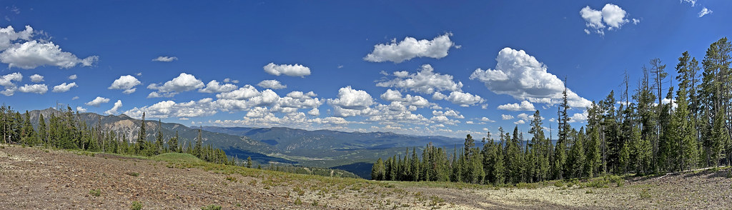 CoolridgeHiking · ~19 min drivePhoto: Monica's Dad, CC BY 2.0 (via Flickr)
- MIDDLE FORK BEAR CREEKHiking · ~2 min drive
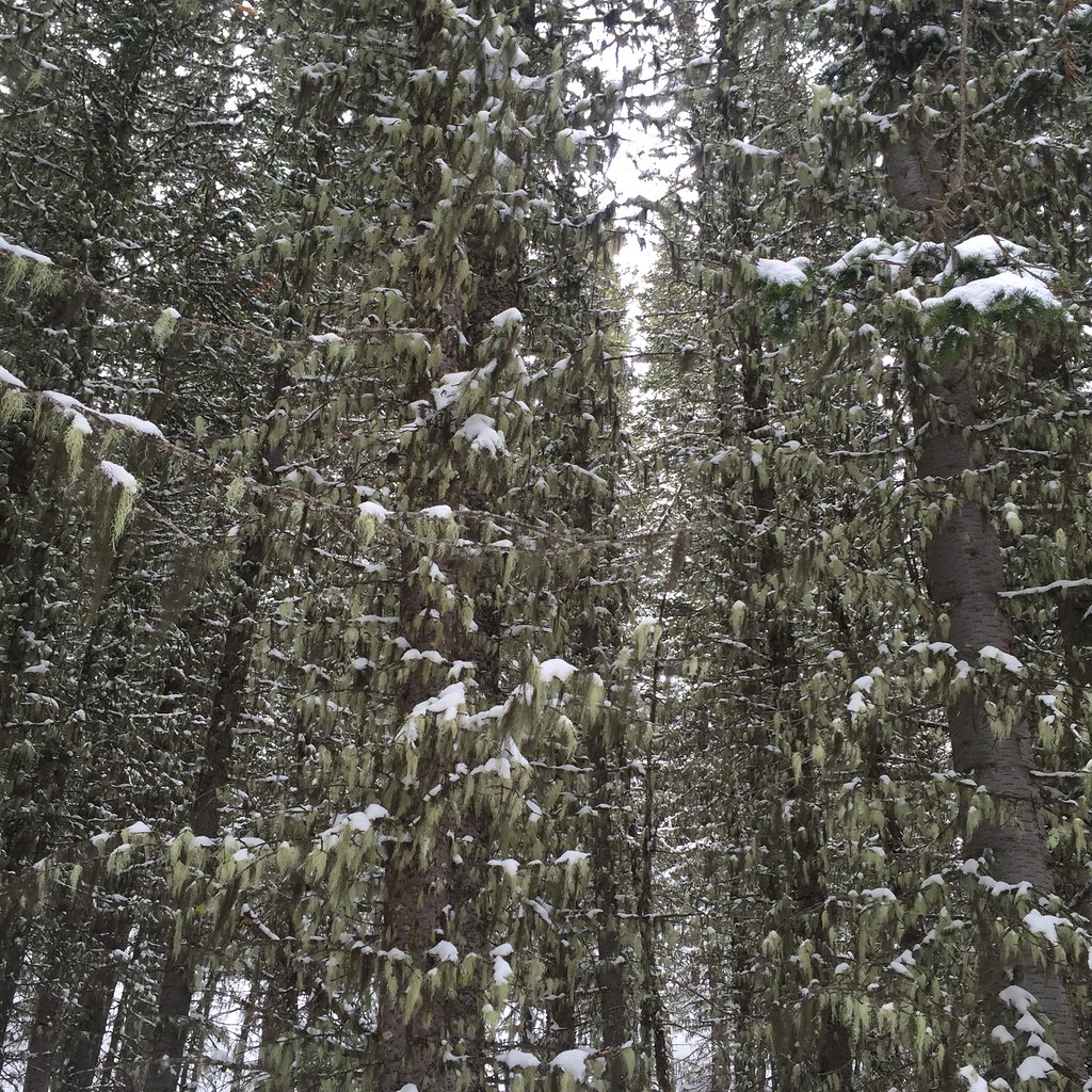 Lodge LoopHiking · ~18 min drivePhoto: schvin, CC BY 2.0 (via Flickr)
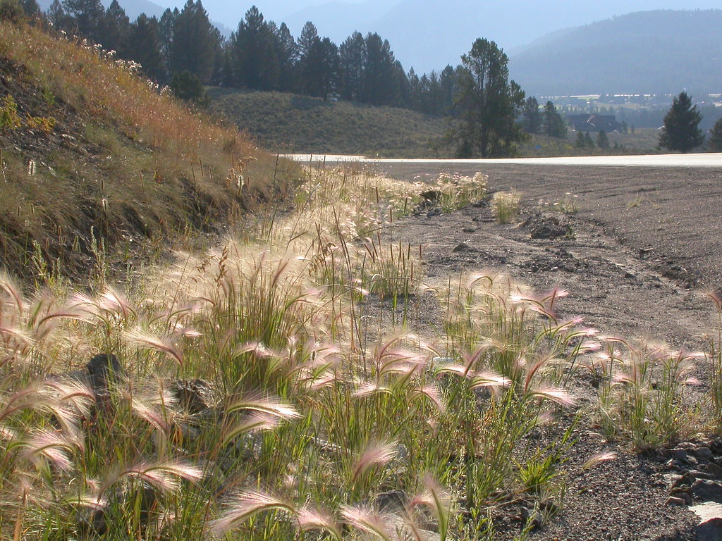 Powder Crest TrailHiking · ~20 min drivePhoto: Matt Lavin, CC BY-SA 2.0 (via Flickr)
- TumbledownHiking · ~19 min drivePhoto: Forest Service - Northern Region, Public Domain Mark (via Flickr)
- Bear Creek TrailHiking · ~2 min drive
- NORTH FORK CUTOFFHiking · Next door
- ROAMER CUTOFFHiking · ~2 min drive
Best time to visit North Fork Bear Creel Trail
Best months: July–September. Best months have typical highs of 55–85 °F, lows of 30 °F or warmer (32 °F where the station doesn't record snow), at most one snowy day and no more than 12 wet days.
Jan
30° / 9°
13 wet
Feb
34° / 9°
11 wet
Mar
42° / 17°
12 wet
Apr
48° / 23°
11 wet
May
58° / 30°
14 wet
Jun
67° / 36°
14 wet
Jul
78° / 41°
11 wet
Aug
77° / 39°
11 wet
Sep
68° / 33°
10 wet
Oct
53° / 25°
10 wet
Nov
37° / 16°
11 wet
Dec
27° / 9°
14 wet
Typical high / low (°F) and days with rain or snow, 1991–2020. Measured at Big Sky 2wnw, MT, 13.4 mi away at 6,590 ft. The station sits about 1,400 ft lower than this place, so expect it a little cooler here. This station doesn't record snowfall. Source: NOAA NCEI U.S. Climate Normals 1991–2020.

Map and trail data © OpenStreetMap contributors
