Bear Creek Trail
- 7.4 mi
- round trip
- 4,536 ft
- climb
- 8,393 ft
- high point
- Out and back
- route
Is Bear Creek Trail open right now?
Closure in the area
There's a closure order in Beaverhead-Deerlodge National Forest. It doesn't name Bear Creek Trail, so check the source for the area it covers (2 listed).
Annual Food Storage Order
Agency closure covering Beaverhead-Deerlodge National Forest · Order 02-00-22-02 · USFS · Beaverhead-Deerlodge National Forest
Pallet Prohibition Order Butte Ranger District
Agency closure covering Beaverhead-Deerlodge National Forest · Order 01020425-01 · USFS · Beaverhead-Deerlodge National Forest
Lost Creek Area - Road Closure
Agency alert covering Beaverhead-Deerlodge National Forest · USFS · Beaverhead-Deerlodge National Forest
Montana BDR Alternative Route
Agency alert covering Beaverhead-Deerlodge National Forest · USFS · Beaverhead-Deerlodge National Forest
Lost Creek Area - Road Closure
Agency alert covering Beaverhead-Deerlodge National Forest · Order 01020826-02 · USFS · Beaverhead-Deerlodge National Forest
As of · Source: USFS · Beaverhead-Deerlodge National Forest. Agencies don't list every closure — check before you go.
Bear Creek Trail is a 14.7-mile out-and-back route in the Lee Metcalf Wilderness, part of the Madison Ranger District of the Beaverhead-Deerlodge National Forest in southwest Montana. The Forest Service manages the land, and the trail starts at about 6,340 feet, rising to a high point of 8,393 feet. The climb is front-loaded, with the steepest stretch at about 1.9 miles in, where the grade reaches 33 percent. The total elevation gain is 4,536 feet, and the trip takes about seven hours. The trail is an expert-level hike, and the route is its own challenge. The climb is steep from the start, and the descent mirrors the ascent. The trailhead sits right beside Bear Creek Cabin, about 0.1 mile away, and Bear Creek Campground is about 0.6 mile off. The Middle Fork Bear Creek and Trail Fork Bear Creek hikes both lie about 0.2 mile from the trail.
Local outfitters
- Yellowstone Safari Company45 mi away
Not on Roamze yet. Their page has how to reach them.
- Bear Creek Cabin (Beaverhead-Deerlodge National Forest, MT)Camping0.1 mi
- TRAIL FORK BEAR CREEKHiking0.2 mi
- MIDDLE FORK BEAR CREEKHiking0.2 mi
- Bear Creek Bunkhouse (Beaverhead-Deerlodge National Forest, MT)Camping0.2 mi
- Bear Creek CampgroundCamping0.6 mi
- NORTH FORK CUTOFFHiking0.9 mi
- Storey Ditch Boat LaunchRiver fishing6.1 mi
- Bear CreekCanoeing8.3 mi
Source: Roamze catalog (indexable pages within 10 miles, PostGIS distance)
 Tumble BasinHiking · ~16 min drivePhoto: Forest Service - Northern Region, Public Domain Mark (via Flickr)
- TumbledownHiking · ~17 min drivePhoto: Forest Service - Northern Region, Public Domain Mark (via Flickr)
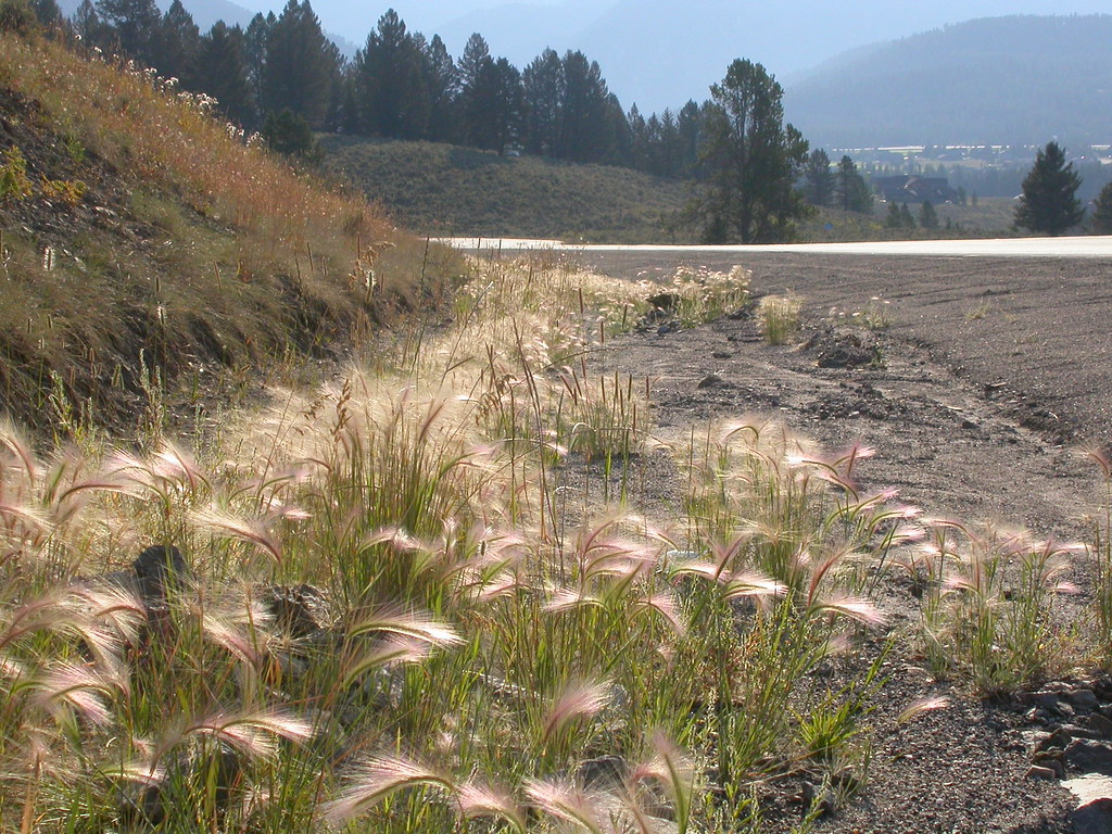 Powder Crest TrailHiking · ~20 min drivePhoto: Matt Lavin, CC BY-SA 2.0 (via Flickr)
- MIDDLE FORK BEAR CREEKHiking · Next door
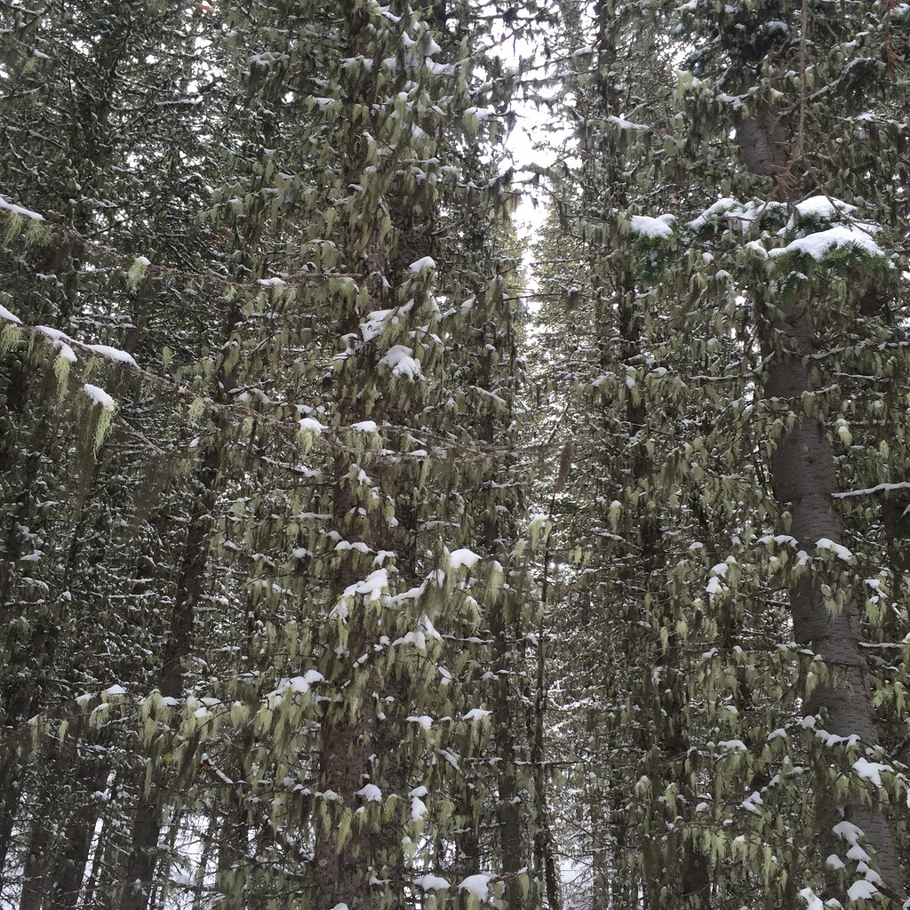 Lodge LoopHiking · ~20 min drivePhoto: schvin, CC BY 2.0 (via Flickr)
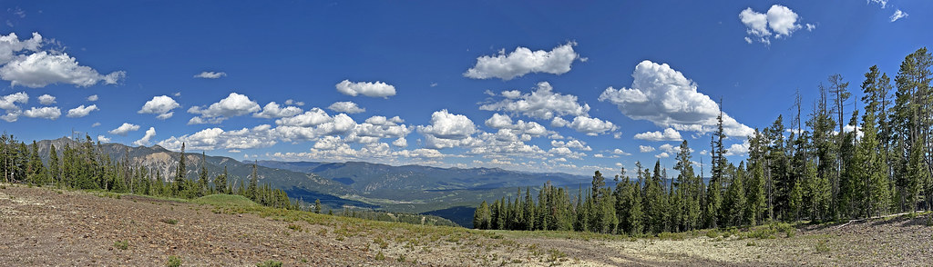 CoolridgeHiking · ~20 min drivePhoto: Monica's Dad, CC BY 2.0 (via Flickr)
 Elkhorn LoopHiking · ~20 min drivePhoto: schvin, CC BY 2.0 (via Flickr)
- INDIAN CREEKHiking · ~7 min drive
- NORTH FORK CUTOFFHiking · ~2 min drive
- Mountain to MeadowHiking · ~20 min drivePhoto: Monica's Dad, CC BY 2.0 (via Flickr)

Map and trail data © OpenStreetMap contributors
