Elkcalf Mtn.
- 9.2 mi
- round trip
- 1,796 ft
- climb
- 7,328 ft
- high point
- Out and back
- route
Is Elkcalf Mtn. open right now?
Alert in the area
The Forest Service lists 5 alerts for Flathead National Forest.
Camp Creek Fire Updated Trail Closure
Agency alert covering Flathead National Forest · Order 01-10- · USFS · Flathead National Forest
FK&L Area Closed to Public Access Starting July 22, 2026
Agency alert covering Flathead National Forest · Order 01-10- · USFS · Flathead National Forest
Trail 800 Tally-Ashely Closure
Agency alert covering Flathead National Forest · Order 01-10- · USFS · Flathead National Forest
Ryan Creek Occupancy and Use Order
Agency alert covering Flathead National Forest · Order 1-10- · USFS · Flathead National Forest
Logan Creek Hoke Creek Closure
Agency alert covering Flathead National Forest · Order 01-10- · USFS · Flathead National Forest
As of · Source: USFS · Flathead National Forest. Agencies don't list every closure — check before you go.
Elkcalf Mountain is a hard hike in the Hungry Horse Ranger District of Montana's Flathead National Forest. The out-and-back route runs about 9.2 miles and gains roughly 1,800 feet, carrying you from a low point around 5,590 feet to the summit at 7,328 feet. The Forest Service manages the land, and the trail is open year round. The trail is natural-surfaced and allows both horses and bikes, so the trip can be approached on foot, on horseback or on a mountain bike. Several other outings sit within a short drive. Skyland Mule Sm offers cross-country skiing about 1.2 miles away, and the East Fork Sm mountain biking route is about 1.3 miles off. Challenge Cabin campground lies about 2.2 miles away, and the South Fork Two Medicine River, a paddling spot, is about 8.5 miles away.
Local outfitters
- North American RV Park & Yurt Village35 mi away
- Rocky Mountain Outfitter45 mi away
Not on Roamze yet. Their page has how to reach them.
- Skyland Mule SmCross-country skiing1.2 mi
- East Fork SmMountain biking1.3 mi
- Mule RidgeHiking1.3 mi
- Challenge CabinCamping2.2 mi
- Zips Place CabinCamping3.7 mi
- Summit CgCamping4.1 mi
- Bear CreekCanoeing5.4 mi
- South Fork Two Medicine RiverCanoeing8.5 mi
Source: Roamze catalog (indexable pages within 10 miles, PostGIS distance)
 Kraigs Trail-Pike CrHiking · ~6 min drivePhoto: Loco Steve, CC BY 3.0 (via Wikimedia Commons)
 Autumn CreekHiking · ~8 min drivePhoto: w_lemay, CC BY-SA 2.0 (via Flickr)
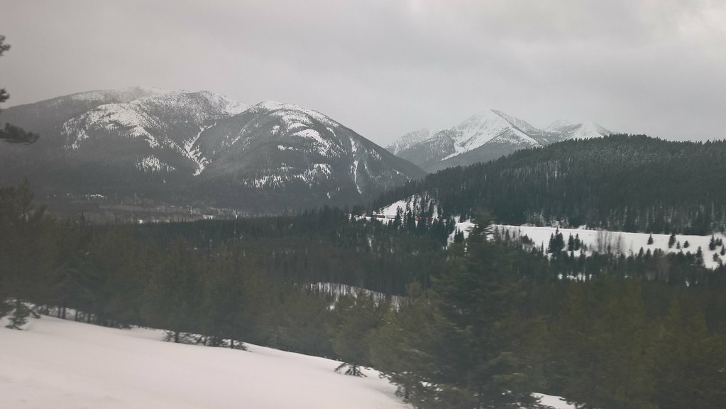 Elk MountainHiking · ~10 min drivePhoto: JimsFlicker, CC BY 2.0 (via Flickr)
- FieldingHiking · ~13 min drive
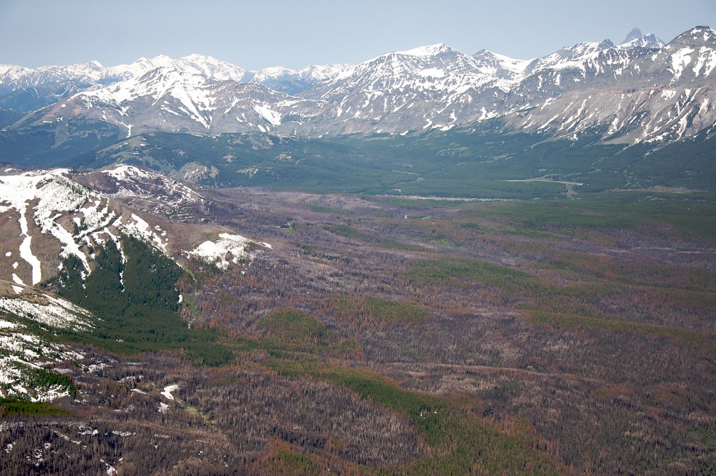 Calf MountainHiking · ~7 min drivePhoto: Sam Beebe, CC BY 2.0 (via Flickr)
 Castle LakeHiking · ~15 min drivePhoto: Forest Service - Northern Region, Public Domain Mark (via Flickr)
- Mule RidgeHiking · ~2 min drive
- Summit Trailhead Connector TrailHiking · ~8 min drivePhoto: Loco Steve, CC BY 3.0 (via Wikimedia Commons)
- Puzzle RidgeHiking · ~5 min drive
- Snake LoopHiking · ~6 min drive
