Lucifer Lake Trail
- 3.6 mi
- round trip
- 4,076 ft
- climb
- 6,406 ft
- high point
- Out and back
- route
Lucifer Lake Trail is a hard hike in Montana, about 5.5 miles from the town of Saint Ignatius. It is an out-and-back route of about 7 miles, with a total elevation gain of roughly 4,076 feet. The trail starts at about 3,560 feet and climbs to a high point of about 6,406 feet, so the round trip involves about 4,076 feet of ascent and descent. The climb is steep, and the route is rated hard. Plan on about 4.5 hours for the trip. The nearest town is Saint Ignatius, and the trail is a good fit for a day of hiking in the area. Kakashe Mountain is about 2 miles away, and Mission Creek offers canoeing about 4 miles off. Riddell Lakes and Moon Lake are both within about 7 miles.
Local outfitters
- Granite Peak RV Resort26 mi away
Not on Roamze yet. Their page has how to reach them.
- Kakashe MountainHiking2.2 mi
- Mission CreekCanoeing4.2 mi
- Riddell LakesHiking6.1 mi
- Moon LakeHiking7 mi
- Turquoise LakeHiking8 mi
- Skid TrailHiking8.2 mi
- Glacier Lake FeederHiking8.4 mi
- Jocko RiverCanoeing9.6 mi
Source: Roamze catalog (indexable pages within 10 miles, PostGIS distance)
 High Point TrailHiking · ~18 min drivePhoto: astrophotography_andy, CC BY 2.0 (via Flickr)
- Kakashe MountainHiking · ~4 min drive
- Riddell LakesHiking · ~10 min drive
- Turquoise LakeHiking · ~14 min drive
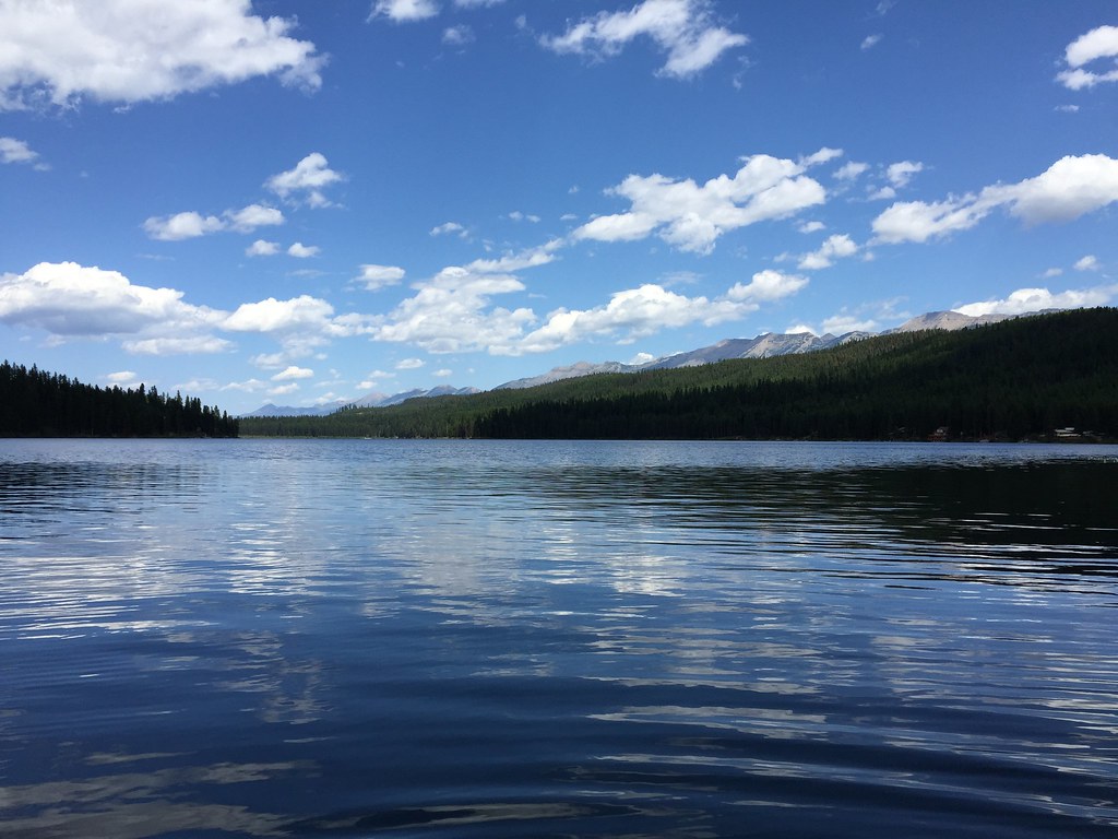 LAKE INEZ HOOKUPHiking · ~33 min drivePhoto: lumachrome, CC BY-SA 2.0 (via Flickr)
- Moon LakeHiking · ~12 min drive
- Crystal LakeHiking · ~16 min drive
- Glacier CreekHiking · ~15 min drive
- Skid TrailHiking · ~14 min drive
- COLT CREEKHiking · ~32 min drive

Map and trail data © OpenStreetMap contributors
