Glacier Creek
- 4.2 mi
- loop
- 1,105 ft
- climb
- 6,179 ft
- high point
- Loop
- route
Is Glacier Creek open right now?
Alert in the area
The Forest Service lists 6 alerts for Flathead National Forest.
Ashley Lake North Campground Closure
Agency alert covering Flathead National Forest · Order 01-10- · USFS · Flathead National Forest
Camp Creek Fire Updated Trail Closure
Agency alert covering Flathead National Forest · Order 01-10- · USFS · Flathead National Forest
FK&L Area Closed to Public Access Starting July 22, 2026
Agency alert covering Flathead National Forest · Order 01-10- · USFS · Flathead National Forest
Trail 800 Tally-Ashely Closure
Agency alert covering Flathead National Forest · Order 01-10- · USFS · Flathead National Forest
Ryan Creek Occupancy and Use Order
Agency alert covering Flathead National Forest · Order 1-10- · USFS · Flathead National Forest
As of · Source: USFS · Flathead National Forest. Agencies don't list every closure — check before you go.
Glacier Creek is a 4.2-mile loop hike in Montana's Flathead National Forest, within the Swan Lake Ranger District. The trailhead is named Glacier Creek Trailhead, and the route is open year-round. The climb totals 1,105 feet, from a low of about 4,847 feet to a high of about 6,179 feet, and the hike is rated moderate. The trail is natural-surfaced and allows horses, but it is not accessible. The trip takes about two hours, and the trailhead is the starting point. Because the trail is a loop, the elevation gain of 1,105 feet covers the whole trip. Horses are welcome, so plan for the ride and the pace of a pack animal on this trail. Glacier Lake Feeder is about half a mile away, and Turquoise Lake is about a mile off. Lindbergh Lake Campground is roughly 4 miles away, and the Swan River offers canoeing about 5 miles from the trail.
Local outfitters
- Granite Peak RV Resort33 mi away
Not on Roamze yet. Their page has how to reach them.
- Glacier Lake FeederHiking0.5 mi
- Turquoise LakeHiking1 mi
- Crystal LakeHiking3 mi
- Lindbergh Lake CampgroundCamping4.3 mi
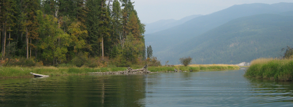 Swan RiverCanoeingPhoto: USFWS, Public domain (via Wikimedia Commons)5.3 mi
- Pine RidgeCamping7.4 mi
- Barber Creek Gravel Pit - Road 10563Camping7.8 mi
- Holland Lake Boating SiteLake fishing9.8 mi
Source: Roamze catalog (indexable pages within 10 miles, PostGIS distance)
 East FoothillHiking · ~20 min drivePhoto: lumachrome, CC BY-SA 2.0 (via Flickr)
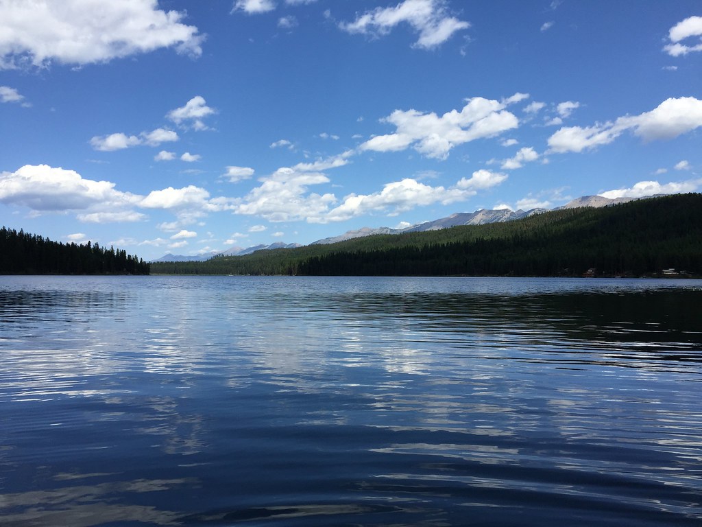 LAKE INEZ HOOKUPHiking · ~22 min drivePhoto: lumachrome, CC BY-SA 2.0 (via Flickr)
- E. Holland Lake Connect.Hiking · ~18 min drivePhoto: lumachrome, CC BY-SA 2.0 (via Flickr)
- Moon LakeHiking · ~16 min drive
- Holland LookoutHiking · ~20 min drivePhoto: lumachrome, CC BY-SA 2.0 (via Flickr)
- Glacier Lake FeederHiking · Next door
- Turquoise LakeHiking · ~2 min drive
- Kakashe MountainHiking · ~19 min drive
- Crystal LakeHiking · ~5 min drive
- Hemlock FeederHiking · ~7 min drive

