Little St. Joe
- 5.5 mi
- round trip
- 2,966 ft
- climb
- 9,038 ft
- high point
- Out and back
- route
Is Little St. Joe open right now?
Alert in the area
The Forest Service lists 2 alerts for Bitterroot National Forest.
Pile burning on West Fork Ranger, Darby-Sula & Stevi Nov. 16 to 19
Agency alert covering Bitterroot National Forest · USFS · Bitterroot National Forest
Two Prescribed Burns Planned for the week of Oct. 5 - Piquett Creek & Cameron Gap
Agency alert covering Bitterroot National Forest · USFS · Bitterroot National Forest
As of · Source: USFS · Bitterroot National Forest. Agencies don't list every closure — check before you go.
Little St. Joe is a hard hike in the Stevensville Ranger District of Montana's Bitterroot National Forest, about 5.5 miles long with a one-way elevation gain of 2,966 feet. The trail is natural-surfaced and makes an out-and-back trip from a low point of about 6,000 feet to a high of about 9,000 feet. The Forest Service manages the land, and the route is an out-and-back with a steep climb to the top. The trail's natural surface and the climb's length and gain make it a demanding day. Several other destinations sit within a few miles. The Informal ridge trail is about 0.7 miles away, and Bass Creek and the Ecology Trail are both within about 1.6 miles. For an overnight stay, Charles Waters Campground is about 1.7 miles off.
Local outfitters
- Granite Peak RV Resort26 mi away
Not on Roamze yet. Their page has how to reach them.
- Informal ridge trailHiking0.7 mi
- Bass CreekHiking1.2 mi
- Ecology TrailHiking1.6 mi
- Charles Waters CampgroundCamping1.7 mi
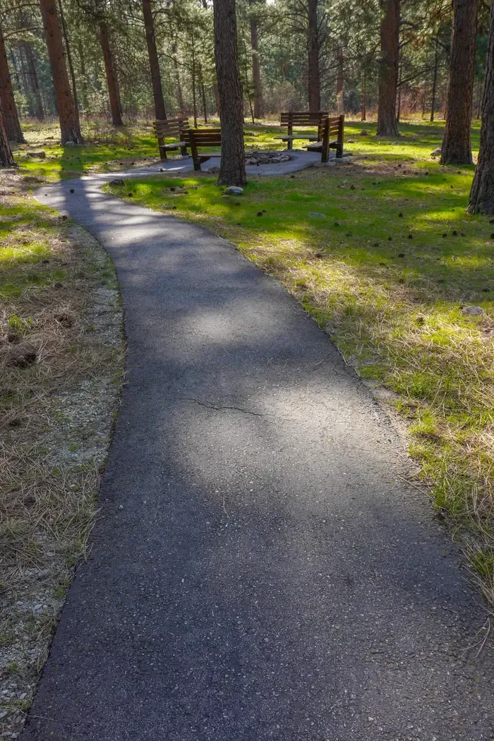 Larry Creek Group CampCampingPhoto: Recreation.gov (RIDB) / public domain2.1 mi
- Kootenai CanyonRock climbing3.6 mi
- Identity WallRock climbing3.6 mi
- Big CreekCanoeing8.6 mi
Source: Roamze catalog (indexable pages within 10 miles, PostGIS distance)
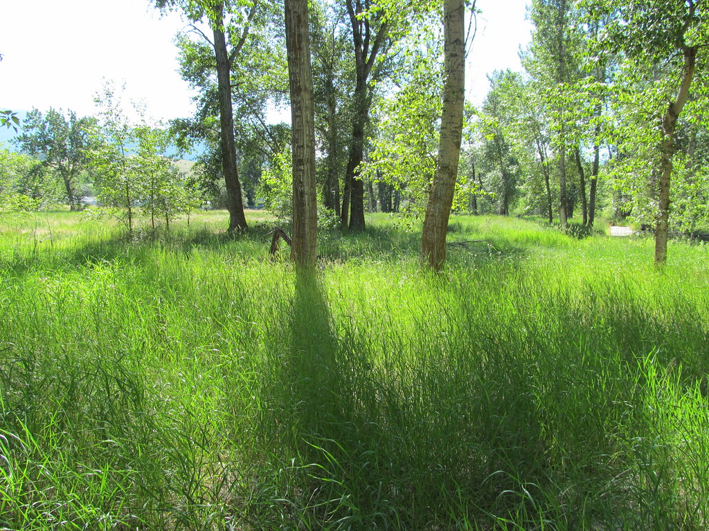 bitteroot runoff trailHiking · ~22 min drivePhoto: reverendlukewarm, CC BY-SA 2.0 (via Flickr)
- Informal ridge trailHiking · ~1 min drive
- Ecology TrailHiking · ~3 min drive
- SPRUCE CREEK LAKEHiking · ~18 min drive
- Bass CreekHiking · ~2 min drive
- ONE HORSE LAKESHiking · ~12 min drive
- Sweeney ViewpontHiking · ~3 min drive
- Rudd-Moore LakesHiking · ~22 min drive
- Larry CreekHiking · ~3 min drive
- Sally Ridge TrailHiking · ~20 min drive
Also worth it near here
