Sweeney Viewpont
- 1.2 mi
- round trip
- 297 ft
- climb
- 4,456 ft
- high point
- Out and back
- route
- Apr–Oct
- best months
Caution at last check
Agency alerts are in effect for this area; weather is good · USFS, OpenWeather · checked 22 h ago
Is Sweeney Viewpont open right now?
Alert in the area
The Forest Service lists 2 alerts for Bitterroot National Forest.
Pile burning on West Fork Ranger and Darby-Sula Districts Nov. 9 to 12
Agency alert covering Bitterroot National Forest · USFS · Bitterroot National Forest
Two Prescribed Burns Planned for the week of Oct. 5 - Piquett Creek & Cameron Gap
Agency alert covering Bitterroot National Forest · USFS · Bitterroot National Forest
As of · Source: USFS · Bitterroot National Forest. Agencies don't list every closure — check before you go.
Sweeney Viewpont is a 1.18-mile out-and-back trail in Montana managed by the Forest Service. The trail gains 297 feet of elevation.
Local outfitters
- Granite Peak RV Resort25 mi away
Not on Roamze yet. Their page has how to reach them.
- Horsehoe LoopMountain biking0.2 mi
 Lower Dry DrawMountain bikingPhoto: Forest Service Northern Region from Missoula, MT, USA, Public domain (via Wikimedia Commons)0.3 mi
- North Zone LoopMountain biking0.4 mi
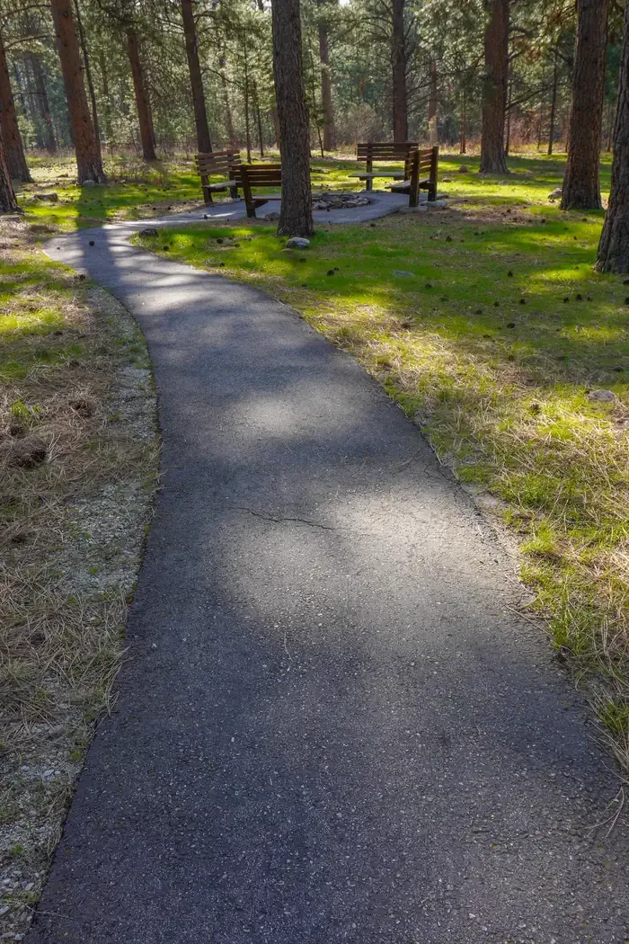 Larry Creek Group CampCampingPhoto: Recreation.gov (RIDB) / public domain1.3 mi
- Bass CreekRock climbing1.9 mi
- Charles Waters CampgroundCamping1.9 mi
- Kootenai CanyonRock climbing4.5 mi
- Big CreekCanoeing10 mi
Source: Roamze catalog (indexable pages within 10 miles, PostGIS distance)
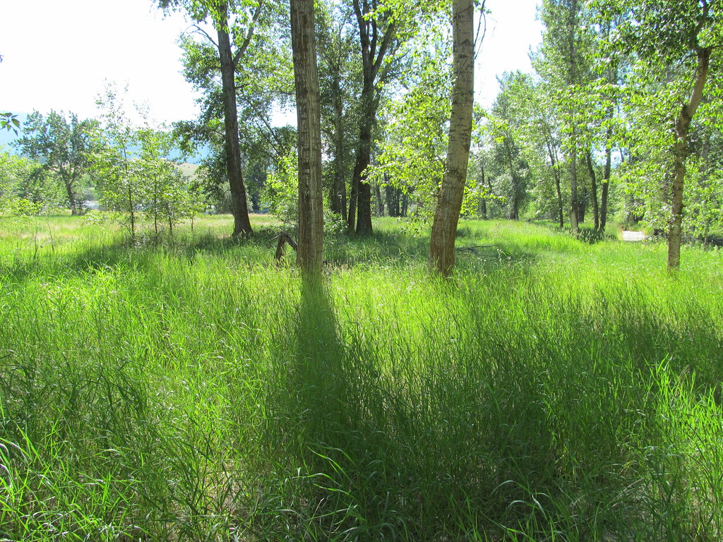 bitteroot runoff trailHiking · ~20 min drivePhoto: reverendlukewarm, CC BY-SA 2.0 (via Flickr)
- Horsehoe LoopHiking · Next door
- Informal ridge trailHiking · ~3 min drive
- SPRUCE CREEK LAKEHiking · ~20 min drive
- Larry CreekHiking · ~3 min drive
- North Zone LoopHiking · Next door
- Sally Ridge TrailHiking · ~21 min drive
- STORM CREEKHiking · ~23 min drive
- Little St. JoeHiking · ~3 min drive
- Ecology TrailHiking · ~2 min drive
Best time to visit Sweeney Viewpont
Best months: April–October. Best months have typical highs of 55–85 °F, lows of 30 °F or warmer (32 °F where the station doesn't record snow), at most one snowy day and no more than 12 wet days.
Jan
35° / 19°
9 wet · 3 snow
Feb
38° / 21°
8 wet · 2 snow
Mar
50° / 26°
9 wet · 1 snow
Apr
58° / 32°
9 wet
May
68° / 39°
10 wet
Jun
75° / 45°
10 wet
Jul
85° / 49°
6 wet
Aug
84° / 47°
6 wet
Sep
74° / 40°
7 wet
Oct
58° / 32°
8 wet
Nov
43° / 25°
9 wet · 1 snow
Dec
33° / 19°
9 wet · 2 snow
Typical high / low (°F) and days with rain or snow, 1991–2020. Measured at Stevensville, MT, 6.5 mi away at 3,375 ft. The station sits about 1,100 ft lower than this place, so expect it a little cooler here. Source: NOAA NCEI U.S. Climate Normals 1991–2020.
