Bass Creek
- 17.4 mi
- round trip
- 3,588 ft
- climb
- 7,349 ft
- high point
- Out and back
- route
Is Bass Creek open right now?
Alert in the area
The Forest Service lists 2 alerts for Bitterroot National Forest.
Pile burning on West Fork Ranger and Darby-Sula Districts Nov. 3
Agency alert covering Bitterroot National Forest · USFS · Bitterroot National Forest
Two Prescribed Burns Planned for the week of Oct. 5 - Piquett Creek & Cameron Gap
Agency alert covering Bitterroot National Forest · USFS · Bitterroot National Forest
As of · Source: USFS · Bitterroot National Forest. Agencies don't list every closure — check before you go.
Bass Creek is a hard hike in the Selway-Bitterroot Wilderness, part of the Stevensville Ranger District of the Bitterroot National Forest in western Montana. The trail is an out-and-back route of about 17.4 miles, with a total elevation gain of 3,588 feet. It starts at the Bass Creek Trailhead, and the climb carries you from a low point of about 3,761 feet to a high point of about 7,349 feet. The trail is a natural-surface route, and the Forest Service manages the land. It is a long, steep outing, so plan on a full day or more. The nearest town is Stevensville, and the trailhead is the natural starting point. Several other destinations sit within a few miles. Little St. Joe is about 1.2 miles away, and Lappi Lake is about 2 miles off. For an overnight stay, Charles Waters Campground is about 2.5 miles away, and the Identity Wall climbing area is about 3.5 miles away.
Local outfitters
- Granite Peak RV Resort26 mi away
Not on Roamze yet. Their page has how to reach them.
Keep exploring — more trails worth the drive
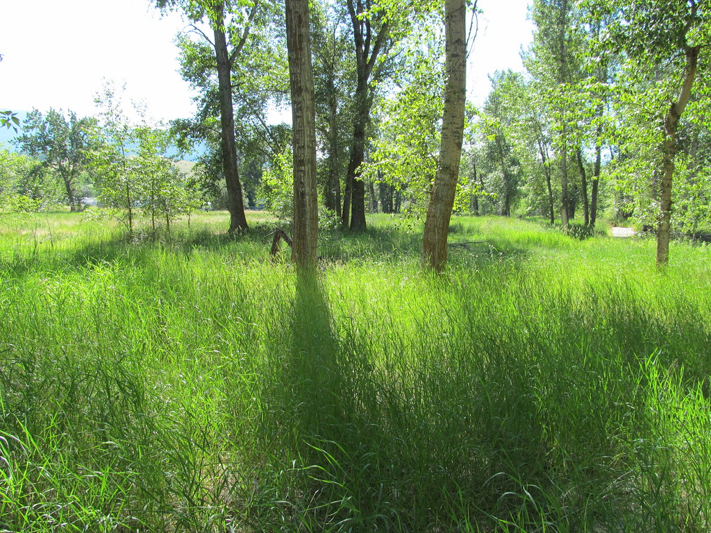 Photo: reverendlukewarm, CC BY-SA 2.0 (via Flickr)
bitteroot runoff trail
~24 min drive
12.2-mile out-and-back trail in Montana with 2,795 ft elevation gain
HIKE
Informal ridge trail
~3 min drive
1.44-mile out-and-back ridge trail in Montana with 1,038 ft gain
HIKE
Ecology Trail
~5 min drive
1.39-mile out-and-back trail in Montana with 225 ft gain
HIKE
SPRUCE CREEK LAKE
~16 min drive
11.8-mile out-and-back to Spruce Creek Lake in Idaho with 4,531 ft gain/loss
HIKE
Little St. Joe
~2 min drive
5.47-mile out-and-back trail in Montana with 2,966 ft elevation gain.
HIKE
Sally Ridge Trail
~19 min drive
5.74-mile out-and-back trail in Montana with 1,319 ft gain/loss.
HIKE
Nature Trail
~5 min drive
0.43-mile loop trail in Montana with 27 ft of elevation gain.
HIKE
STORM CREEK
~18 min drive
13.86-mile out-and-back trail in Idaho with 1,596 ft elevation gain and loss.
HIKE
Lappi Lake
~3 min drive
2.24-mile out-and-back trail to Lappi Lake in Montana with 1,113 ft of elevation gain.
HIKE
Big Creek Divide
~19 min drive
3.41-mile out-and-back trail in Montana with 999 ft elevation gain.

