Lightning Creek
- 10.7 mi
- round trip
- 2,252 ft
- climb
- 8,565 ft
- high point
- Out and back
- route
Is Lightning Creek open right now?
Closure in the area
There's a closure order in Custer Gallatin National Forest. It doesn't name Lightning Creek, so check the source for the area it covers (16 listed).
NFSR #1700 South Plateau Road Closure
Agency closure covering Custer Gallatin National Forest · USFS · Custer Gallatin National Forest
Lonesomewood Prescribed Fire Area, Road, and Trail Closure
Agency closure covering Hebgen Lake Ranger District · Order 01-11-07-26-03 · USFS · Hebgen Lake Ranger District
South Plateau Road #1700 Opening Delayed
Agency closure covering Hebgen Lake Ranger District · USFS · Hebgen Lake Ranger District
Hyalite Porcupine Buffalo Horn Summer Interim Travel Order and Map and Order # 01-11-00-26-02
Agency closure covering Custer Gallatin National Forest · Order 01-11-00-26-02 · USFS · Custer Gallatin National Forest
Hyalite Porcupine Buffalo Horn Winter Interim Travel Order and Map Order Number: #01-11-00-26-01
Agency closure covering Custer Gallatin National Forest · USFS · Custer Gallatin National Forest
As of · Source: USFS · Custer Gallatin National Forest. Agencies don't list every closure — check before you go.
Lightning Creek is a hard out-and-back hike in Montana's Custer Gallatin National Forest, on the Hebgen Lake Ranger District. The trail stretches about 10.7 miles, with a total elevation gain of 2,252 feet, climbing from a low point of 7,312 feet to a high of 8,565 feet. The Forest Service manages the land, and the trail's natural surface and horse-friendly access make it a route that works for riders as well as hikers. The Taylor Fork parking area serves as the trailhead, and the hike is open year-round. Plan for a long day on foot, with plenty of elevation to cover. Taylor Falls lies about 1.8 miles away, and Taylor Creek and Alp Creek are both within about 2 miles. For an overnight stay, Wapiti Cabin is roughly 4.8 miles off.
Local outfitters
- Yellowstone Safari Company49 mi away
Not on Roamze yet. Their page has how to reach them.
Keep exploring — more trails worth the drive
 Photo: Forest Service - Northern Region, Public Domain Mark (via Flickr)
Tumbledown
~4 min drive
6.09-mile out-and-back trail in Montana with 1,651 ft elevation gain.
Photo: Forest Service - Northern Region, Public Domain Mark (via Flickr)Tumble Basin
~5 min drive
1.16-mile out-and-back trail in Montana with 157 ft elevation gain.
HIKE
Alp Creek
~4 min drive
6.67-mile out-and-back trail in Montana with 1,585 ft of elevation gain.
HIKE
Dead Horse Trail
~12 min drive
9.4-mile out-and-back trail in Montana with 2,448 ft elevation gain/loss
 Photo: Forest Service - Northern Region, Public Domain Mark (via Flickr)
Meadow Creek
~9 min drive
7.48-mile out-and-back trail in Montana with 958 ft elevation gain.
HIKE
LIZARD LAKES
~9 min drive
1.7-mile out-and-back trail to Lizard Lakes in Montana at 9,332 ft elevation.
HIKE
Cabin Creek Divide
~8 min drive
4.89-mile out-and-back trail in Montana with 230 ft elevation gain.
HIKE
INDIAN CREEK
~18 min drive
24.92-mile out-and-back trail in Montana with 4,228 ft elevation gain/loss.
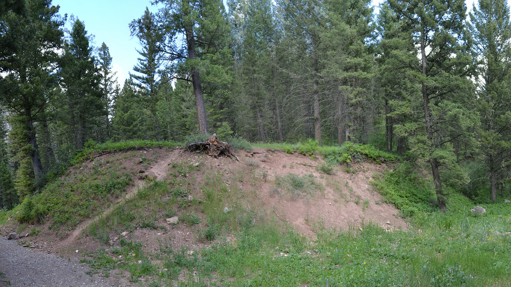 Photo: inkenbrandt, CC BY 2.0 (via Flickr)
Cabin Creek
~18 min drive
11.09-mile out-and-back trail in Montana with 2,389 ft elevation gain.
HIKE
DEADHORSE CREEK
~10 min drive
2.8-mile out-and-back trail in Montana with 893 ft elevation gain and loss.
Also worth it near here
