Dead Horse Trail
- 4.7 mi
- round trip
- 2,448 ft
- climb
- 9,332 ft
- high point
- Out and back
- route
Is Dead Horse Trail open right now?
Closure in the area
There's a closure order in Custer Gallatin National Forest. It doesn't name Dead Horse Trail, so check the source for the area it covers (16 listed).
NFSR #1700 South Plateau Road Closure
Agency closure covering Custer Gallatin National Forest · USFS · Custer Gallatin National Forest
Lonesomewood Prescribed Fire Area, Road, and Trail Closure
Agency closure covering Hebgen Lake Ranger District · Order 01-11-07-26-03 · USFS · Hebgen Lake Ranger District
South Plateau Road #1700 Opening Delayed
Agency closure covering Hebgen Lake Ranger District · USFS · Hebgen Lake Ranger District
Hyalite Porcupine Buffalo Horn Summer Interim Travel Order and Map and Order # 01-11-00-26-02
Agency closure covering Custer Gallatin National Forest · Order 01-11-00-26-02 · USFS · Custer Gallatin National Forest
Hyalite Porcupine Buffalo Horn Winter Interim Travel Order and Map Order Number: #01-11-00-26-01
Agency closure covering Custer Gallatin National Forest · USFS · Custer Gallatin National Forest
As of · Source: USFS · Custer Gallatin National Forest. Agencies don't list every closure — check before you go.
Dead Horse Trail is a 9.4-mile out-and-back hike in the Hebgen Lake Ranger District of Custer Gallatin National Forest in Montana. The Forest Service manages the land, and the trail starts at about 7,814 feet, rising to roughly 9,332 feet at the high point. The climb is moderate, with a total of about 2,448 feet of elevation gain and loss over the round trip. The steepest part comes at about 3.7 miles in, where the grade reaches 22%. For a base, the trail's low point is about 7,814 feet, and the high point is about 9,332 feet, so plan on a day that accounts for the full range. Nearby options include the Deadhorse Creek hike, about a mile away, and the Cinnamon Buck and Cinnamon Lookout hikes, each within about 2 miles. For an overnight stay, Wapiti Cabin sits about 5 miles off.
Local outfitters
- Yellowstone Safari Company42 mi away
Not on Roamze yet. Their page has how to reach them.
- DEADHORSE CREEKHiking0.9 mi
- Cinnamon BuckHiking1.4 mi
- Cinnamon LookoutHiking1.9 mi
- Taylor CreekCanoeing4.8 mi
- Buck CreekRock climbing4.8 mi
- Calcite CornerRock climbing4.8 mi
- Wapiti CabinCamping5.1 mi
- Red CliffCamping5.5 mi
Source: Roamze catalog (indexable pages within 10 miles, PostGIS distance)
 Elk HornHiking · ~8 min drivePhoto: Forest Service - Northern Region, Public Domain Mark (via Flickr)
 Tumble BasinHiking · ~13 min drivePhoto: Forest Service - Northern Region, Public Domain Mark (via Flickr)
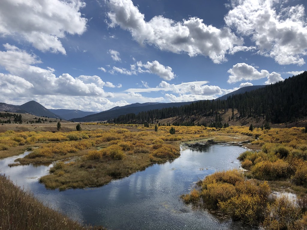 Teepee CreekHiking · ~14 min drivePhoto: Forest Service - Northern Region, Public Domain Mark (via Flickr)
- TumbledownHiking · ~12 min drivePhoto: Forest Service - Northern Region, Public Domain Mark (via Flickr)
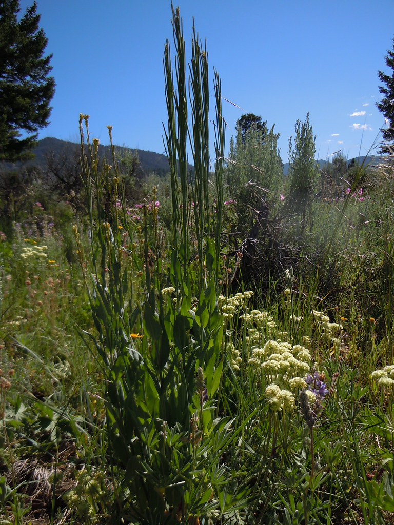 FIRST CREEK CUTOFFHiking · ~15 min drivePhoto: Matt Lavin, CC BY-SA 2.0 (via Flickr)
- Cinnamon BuckHiking · ~2 min drive
 Meadow CreekHiking · ~4 min drivePhoto: Forest Service - Northern Region, Public Domain Mark (via Flickr)
- DEADHORSE CREEKHiking · ~2 min drive
- Albino LakeHiking · ~6 min drive
- Blow OutHiking · ~4 min drive

Map and trail data © OpenStreetMap contributors
