Koocanusa Trail
- 0.5 mi
- round trip
- 127 ft
- climb
- 3,729 ft
- high point
- Out and back
- route
- May–Sep
- best months
The Koocanusa Trail is a short, easy out-and-back hike in western Montana, about 4.7 miles from the community of Eagle Lake Ranch. The trail is under a mile long, and the total climb is about 127 feet, so it makes a quick stop for anyone already in the area. The route starts near 3,714 feet and reaches a high point of about 3,729 feet before returning. The steepest stretch is a little under half a mile in, with a grade of about 4 percent. The whole trip takes about half an hour, so it works well as a break before or after another outing. Summer is the most comfortable time to go. A nearby weather station records typical July averages of a high near 84°F and a low around 50°F, with fewer wet days than most of the year. That station sits about 730 feet lower than the trail, so temperatures on the trail run a little cooler. Buckin Mule Trail is the closest nearby hike, under a mile away. Lydia Pinkham is about 4.5 miles off. Farther out, about 6 miles away, are Ant Flat B for mountain biking and Fortine Creek for canoeing.
Local outfitters
- Indian Springs Montana13 mi away
- Kootenai River Campground45 mi away
Not on Roamze yet. Their page has how to reach them.
- Buckin Mule TrailHiking0.8 mi
- Lydia PinkhamHiking4.5 mi
- Ant Flat BMountain biking6.3 mi
- Fortine CreekCanoeing6.4 mi
- Grave Creek CampgroundCamping8.1 mi
- Tobacco RiverCanoeing8.4 mi
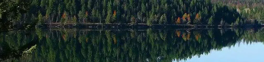 North Dickey LakeCampingPhoto: Recreation.gov (RIDB) / public domain8.5 mi
- McGuire Mtn. Lookout RentalCamping9.4 mi
Source: Roamze catalog (indexable pages within 10 miles, PostGIS distance)
 Lower BoulderHiking · ~23 min drivePhoto: Tony Webster, CC BY 2.0 (via Flickr)
- Buckin Mule TrailHiking · ~1 min drive
- Lydia PinkhamHiking · ~8 min drive
- DEEP CREEK X-C SKIHiking · ~13 min drive
- Ant FlatHiking · ~11 min drive
- McguireHiking · ~16 min drive
- Peck GulchHiking · ~22 min drive
- Murphy LakeHiking · ~12 min drive
- Laughing WaterHiking · ~16 min drive
- Therriault PassHiking · ~22 min drive
Best time to visit Koocanusa Trail
Best months: May–September. Best months have typical highs of 55–85 °F, lows of 30 °F or warmer (32 °F where the station doesn't record snow), at most one snowy day and no more than 12 wet days.
Jan
30° / 18°
9 wet
Feb
35° / 19°
7 wet
Mar
46° / 25°
7 wet
Apr
56° / 31°
7 wet
May
68° / 38°
9 wet
Jun
73° / 45°
10 wet
Jul
84° / 50°
6 wet
Aug
83° / 47°
5 wet
Sep
72° / 40°
6 wet
Oct
55° / 31°
7 wet
Nov
39° / 25°
10 wet
Dec
29° / 17°
10 wet
Typical high / low (°F) and days with rain or snow, 1991–2020. Measured at Fortine 1 N, MT, 5.9 mi away at 3,000 ft. The station sits about 700 ft lower than this place, so expect it a little cooler here. This station doesn't record snowfall. Source: NOAA NCEI U.S. Climate Normals 1991–2020.
Map and trail data © OpenStreetMap contributors
