Ant Flat B
- 0.2 mi
- distance
- 21 ft
- climb
- May–Sep
- best months
Is Ant Flat B open right now?
Closure in the area
There's a closure order in Kootenai National Forest. It doesn't name Ant Flat B, so check the source for the area it covers.
Kootenai Flood Event & Inaccessible Areas
Agency closure covering Kootenai National Forest · USFS · Kootenai National Forest
Updated Skillet Fire Area, Road, Trail Closure
Agency alert covering Kootenai National Forest · Order 01-10- · USFS · Kootenai National Forest
As of · Source: USFS · Kootenai National Forest. Agencies don't list every closure — check before you go.
Ant Flat B is a short trail in Montana's Dickey Creek trail system managed by the Forest Service. The 0.19-mile route gains 74 feet of elevation.
Local outfitters
- Montana Basecamp48 mi away
Not on Roamze yet. Their page has how to reach them.
- Ant FlatHiking0.1 mi
- Murphy LakeHiking1.4 mi
- Dickey Lake OverlookHiking2.1 mi
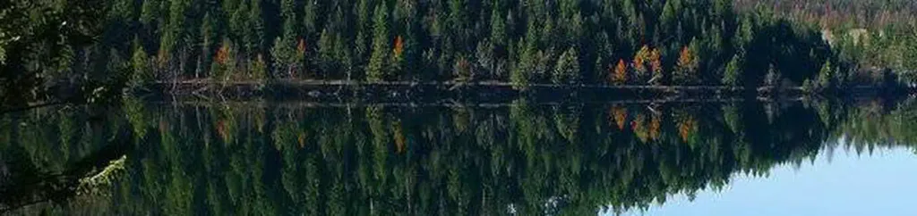 North Dickey LakeCampingPhoto: Recreation.gov (RIDB) / public domain2.1 mi
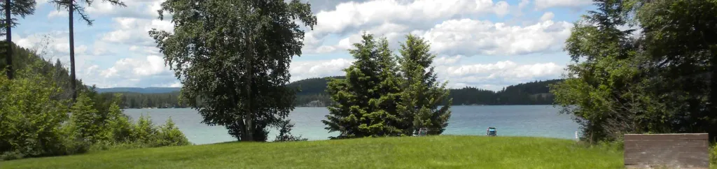 South Dickey LakeCampingPhoto: Recreation.gov (RIDB) / public domain3.3 mi
- Fortine CreekCanoeing4 mi
 Stillwater RiverCanoeingPhoto: Joe Mabel (on Flickr as Joe Mabel from Seattle, US), CC BY-SA 3.0 (via Wikimedia Commons)7.6 mi
- Point of RocksRock climbing8.6 mi
Source: Roamze catalog (indexable pages within 10 miles, PostGIS distance)
- Ant FlatMountain biking · Next door
- Lydia PinkhamMountain biking · ~17 min drive
- MiistakiistsiMountain biking · ~22 min drive
- Therriault PassMountain biking · ~22 min drive
- Grave Creek Snowmobl StahlMountain biking · ~22 min drive
- Stahl CreekMountain biking · ~23 min drive
- Grave Creek Snowmoble ClarenceMountain biking · ~23 min drive
- Lydia PinkhamMountain biking · ~23 min drive
- Big Therriault/highlineMountain biking · ~23 min drive
- Stahl Peak SpurMountain biking · ~24 min drive
Best time to visit Ant Flat B
Best months: May–September. Best months have typical highs of 55–85 °F, lows of 30 °F or warmer (32 °F where the station doesn't record snow), at most one snowy day and no more than 12 wet days.
Jan
30° / 18°
9 wet
Feb
35° / 19°
7 wet
Mar
46° / 25°
7 wet
Apr
56° / 31°
7 wet
May
68° / 38°
9 wet
Jun
73° / 45°
10 wet
Jul
84° / 50°
6 wet
Aug
83° / 47°
5 wet
Sep
72° / 40°
6 wet
Oct
55° / 31°
7 wet
Nov
39° / 25°
10 wet
Dec
29° / 17°
10 wet
Typical high / low (°F) and days with rain or snow, 1991–2020. Measured at Fortine 1 N, MT, 3.9 mi away at 3,000 ft. This station doesn't record snowfall. Source: NOAA NCEI U.S. Climate Normals 1991–2020.
Map and trail data © OpenStreetMap contributors
