Jack Creek Trail
- 6.3 mi
- round trip
- 3,268 ft
- climb
- 8,783 ft
- high point
- Out and back
- route
Is Jack Creek Trail open right now?
Closure in the area
There's a closure order in Beaverhead-Deerlodge National Forest. It doesn't name Jack Creek Trail, so check the source for the area it covers (2 listed).
Annual Food Storage Order
Agency closure covering Beaverhead-Deerlodge National Forest · Order 02-00-22-02 · USFS · Beaverhead-Deerlodge National Forest
Pallet Prohibition Order Butte Ranger District
Agency closure covering Beaverhead-Deerlodge National Forest · Order 01020425-01 · USFS · Beaverhead-Deerlodge National Forest
Lost Creek Area - Road Closure
Agency alert covering Beaverhead-Deerlodge National Forest · USFS · Beaverhead-Deerlodge National Forest
Montana BDR Alternative Route
Agency alert covering Beaverhead-Deerlodge National Forest · USFS · Beaverhead-Deerlodge National Forest
Lost Creek Area - Road Closure
Agency alert covering Beaverhead-Deerlodge National Forest · Order 01020826-02 · USFS · Beaverhead-Deerlodge National Forest
As of · Source: USFS · Beaverhead-Deerlodge National Forest. Agencies don't list every closure — check before you go.
Jack Creek Trail is a hard hike in the Madison Ranger District of the Beaverhead-Deerlodge National Forest in southwest Montana. The trail is an out-and-back route of about 12.6 miles, with a total climb of roughly 3,268 feet. The one-way elevation gain is 383 feet, and the trail starts at about 8,783 feet, the highest point on the route. The climb is rolling, but it gets steep around mile 3.2, where the grade reaches about 24 percent. The trail's low point is at about 6,280 feet, and the round trip ends where it began. Several other hikes sit within a few miles, including Jack Creek and Hammond Creek, both about 2 miles away, and Mill Creek at about 3 miles. Climbers can find Beehive Peak about 4 miles off.
Local outfitters
- Yellowstone Safari Company33 mi away
Not on Roamze yet. Their page has how to reach them.
- JACK CREEKHiking2.1 mi
- HAMMOND CREEKHiking2.2 mi
- MILL CREEKHiking3.1 mi
- Cedar Creek TrailHiking3.7 mi
- Lake SolitudeHiking3.7 mi
- Beehive PeakRock climbing4.3 mi
- Beehive BasinRock climbing4.6 mi
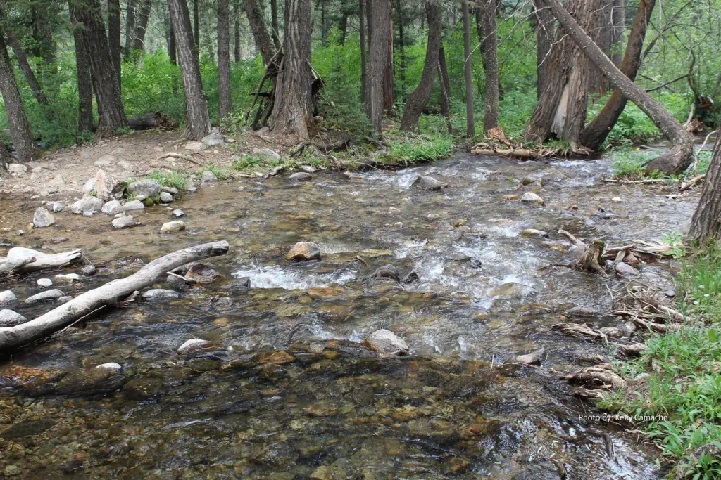 Spanish Creek CabinCampingPhoto: Recreation.gov (RIDB) / public domain9.8 mi
Source: Roamze catalog (indexable pages within 10 miles, PostGIS distance)
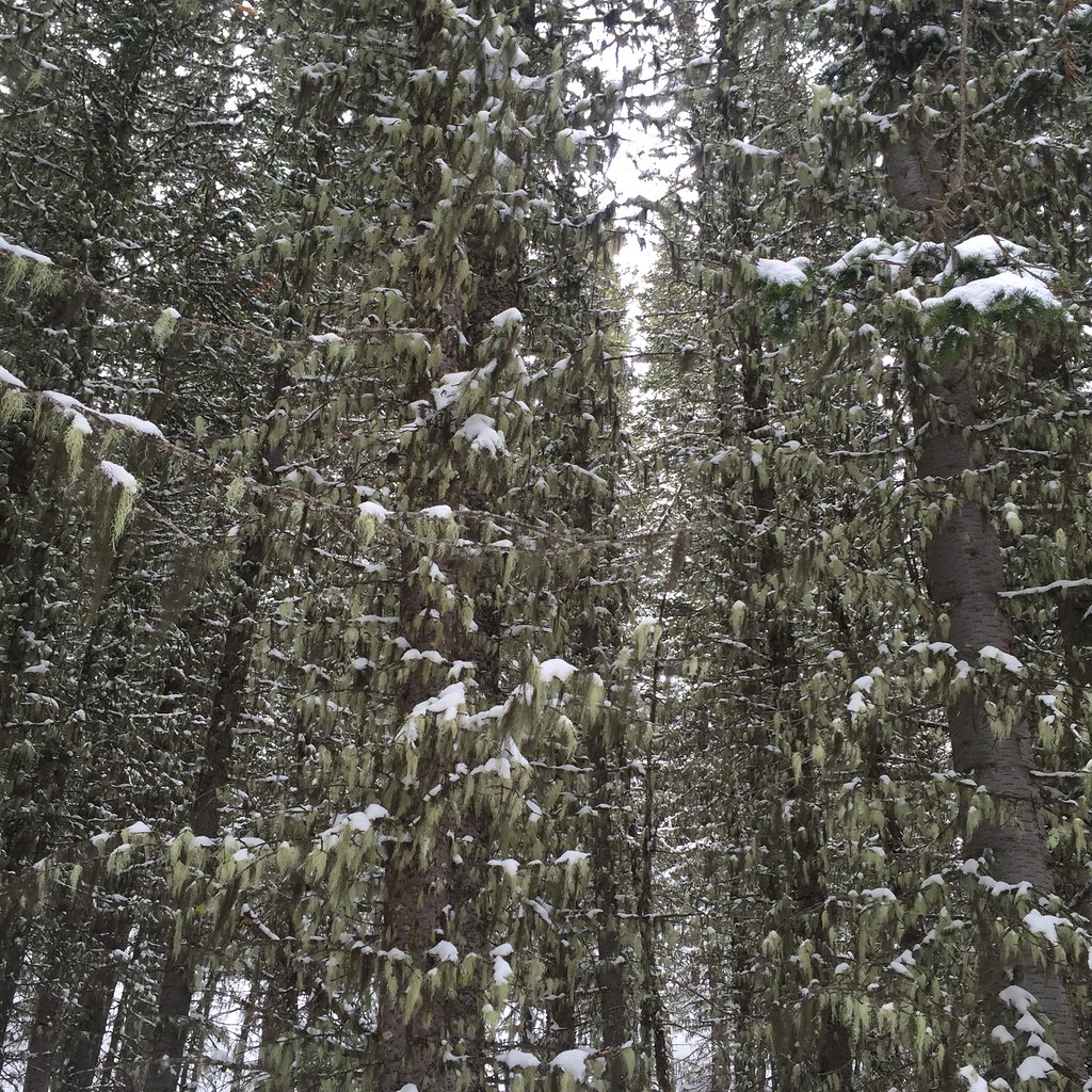 Lodge LoopHiking · ~7 min drivePhoto: schvin, CC BY 2.0 (via Flickr)
 Elkhorn LoopHiking · ~7 min drivePhoto: schvin, CC BY 2.0 (via Flickr)
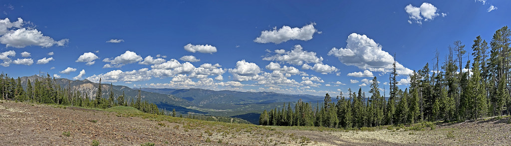 CoolridgeHiking · ~11 min drivePhoto: Monica's Dad, CC BY 2.0 (via Flickr)
- JACK CREEKHiking · ~4 min drive
 Ranch LoopHiking · ~17 min drivePhoto: Matt Lavin, CC BY-SA 2.0 (via Flickr)
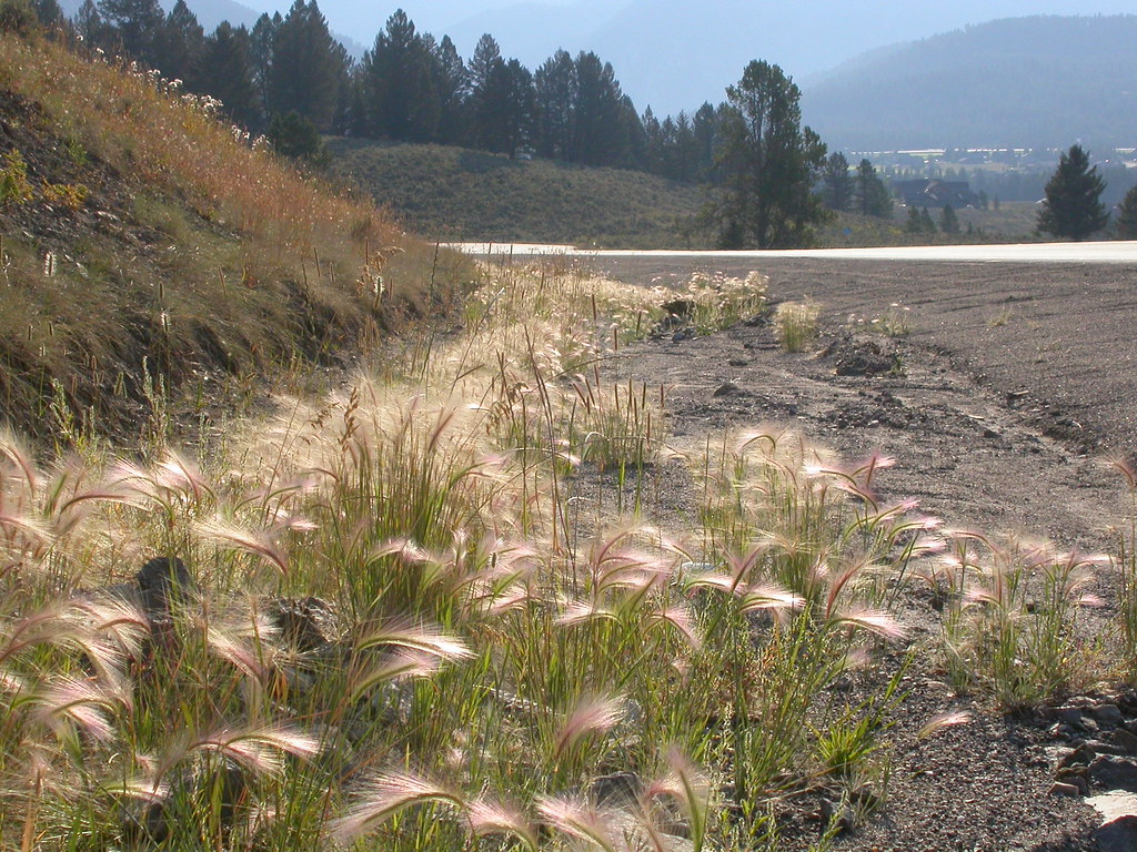 Powder Crest TrailHiking · ~13 min drivePhoto: Matt Lavin, CC BY-SA 2.0 (via Flickr)
- Mountain to MeadowHiking · ~11 min drivePhoto: Monica's Dad, CC BY 2.0 (via Flickr)
- HAMMOND CREEKHiking · ~4 min drive
- Sweden CreekHiking · ~15 min drive
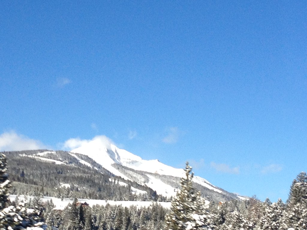 Mountain to MeadowHiking · ~14 min drivePhoto: senatortester, Public Domain Mark (via Flickr)
Also worth it near here


Map and trail data © OpenStreetMap contributors
