Hoskins (Kids) Loop
- 0.8 mi
- loop
- 77 ft
- climb
- 3,935 ft
- high point
- Loop
- route
- Apr–Jun, Sep–Oct
- best months
Hoskins (Kids) Loop is a 0.75-mile loop on Bureau of Land Management land in the Billings Field Office in Montana. The route is rated easy, and the loop's small size and modest elevation gain of 77 feet make it a short outing that is easy to fit into a longer day in the area. The trail starts and ends at about 3,935 feet, with a low point of about 3,888 feet. The climb is back-loaded, meaning the steepest section comes toward the end of the loop. The steepest stretch is at about 0.66 miles, with a grade of about 4 percent, and the loop is roughly 0.5 hours long. For the most comfortable weather, plan a visit for late spring or early fall. Typical averages from a nearby weather station in Billings show May highs around 67°F and September highs around 74°F, while July averages about 87°F and January highs sit near 36°F. The station sits a few hundred feet lower than the loop, so expect slightly cooler temperatures on the trail. Nearby, the Billings Field Office covers a wide area of BLM land, and the Hoskins (Kids) Loop works well as a quick addition to time spent on other parts of the field office.
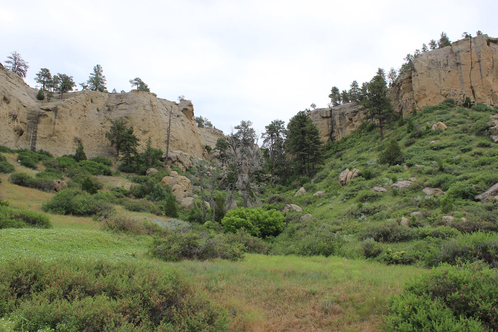 The Loop TrailHiking · ~41 min drivePhoto: AllAroundTheWest, CC BY-SA 2.0 (via Flickr)
- Wagon TrailHiking · ~25 min drive
- Rims Mountain Bike PathHiking · ~30 min drive
- Shiloh Conservation TrailHiking · ~35 min drive
- Shiloh Conservation TrailHiking · ~35 min drive
- Elso TrailHiking · ~37 min drive
- Buffalo TrailHiking · ~43 min drive
- Freight TrailHiking · ~45 min drive
- Put Vehicular TrailHiking · ~55 min drive
- Walking path at John H Dover ParkHiking · ~30 min drive
Best time to visit Hoskins (Kids) Loop
Best months: April–June and September–October. Best months have typical highs of 55–85 °F, lows of 30 °F or warmer (32 °F where the station doesn't record snow), at most one snowy day and no more than 12 wet days.
Jan
36° / 18°
7 wet
Feb
39° / 20°
7 wet
Mar
49° / 27°
9 wet
Apr
57° / 35°
10 wet
May
67° / 44°
12 wet
Jun
77° / 52°
11 wet
Jul
87° / 59°
8 wet
Aug
86° / 58°
6 wet
Sep
74° / 49°
7 wet
Oct
59° / 37°
8 wet
Nov
46° / 27°
6 wet
Dec
36° / 19°
6 wet
Typical high / low (°F) and days with rain or snow, 1991–2020. Measured at Billings Logan Intl Ap, MT, 17.3 mi away at 3,581 ft. This station doesn't record snowfall. Source: NOAA NCEI U.S. Climate Normals 1991–2020.
Map and trail data © OpenStreetMap contributors
