Elso Trail
- 0.7 mi
- round trip
- 204 ft
- climb
- 3,355 ft
- high point
- Out and back
- route
- May–Jun, Sep
- best months
Elso Trail is a short, easy out-and-back hike in Montana, about 0.6 miles from the town of Elso. The route is roughly 1.3 miles long, with a total elevation gain of about 200 feet, and it reaches a high point of about 3,355 feet. The climb is front-loaded, with the steepest stretch at about 0.14 miles from the start, where the grade reaches about 9 percent. Summer is the most comfortable time to go. Typical averages from a nearby weather station in Roundup show July highs around 87°F with lows near 51°F, while September cools to highs around 75°F. Winters are cold, with January highs averaging about 36°F. The trip takes about half an hour, so it works well as a quick stop on the way through town.
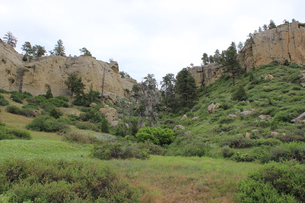 The Loop TrailHiking · ~1h 16m drivePhoto: AllAroundTheWest, CC BY-SA 2.0 (via Flickr)
- Big Snowy TrailHiking · ~1h 4m drive
- Bad CanyonHiking · ~1h 8m drive
- Maynard RidgeHiking · ~1h 12m drive
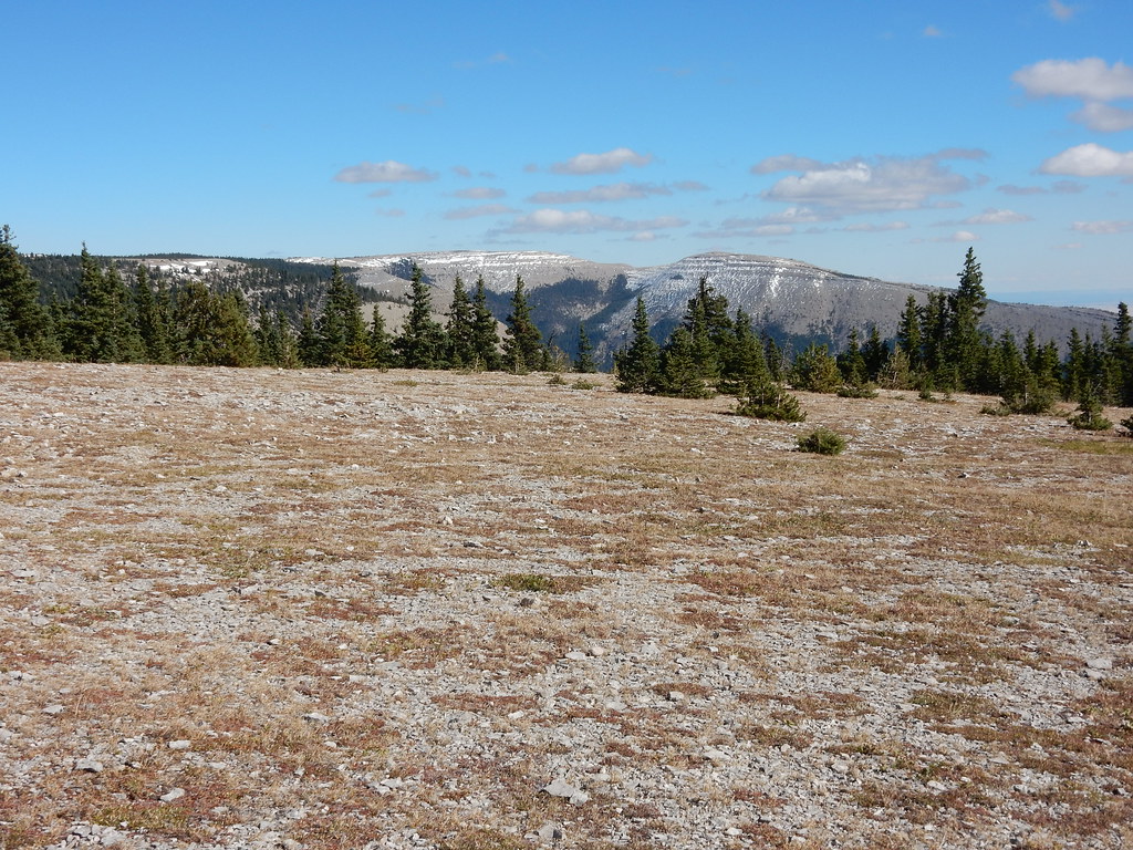 West PeakHiking · ~1h 24m drivePhoto: Matt Lavin, CC BY-SA 2.0 (via Flickr)
- E. Fk. Big Spring CreekHiking · ~1h 20m drive
- SouthsideHiking · ~1h 10m drive
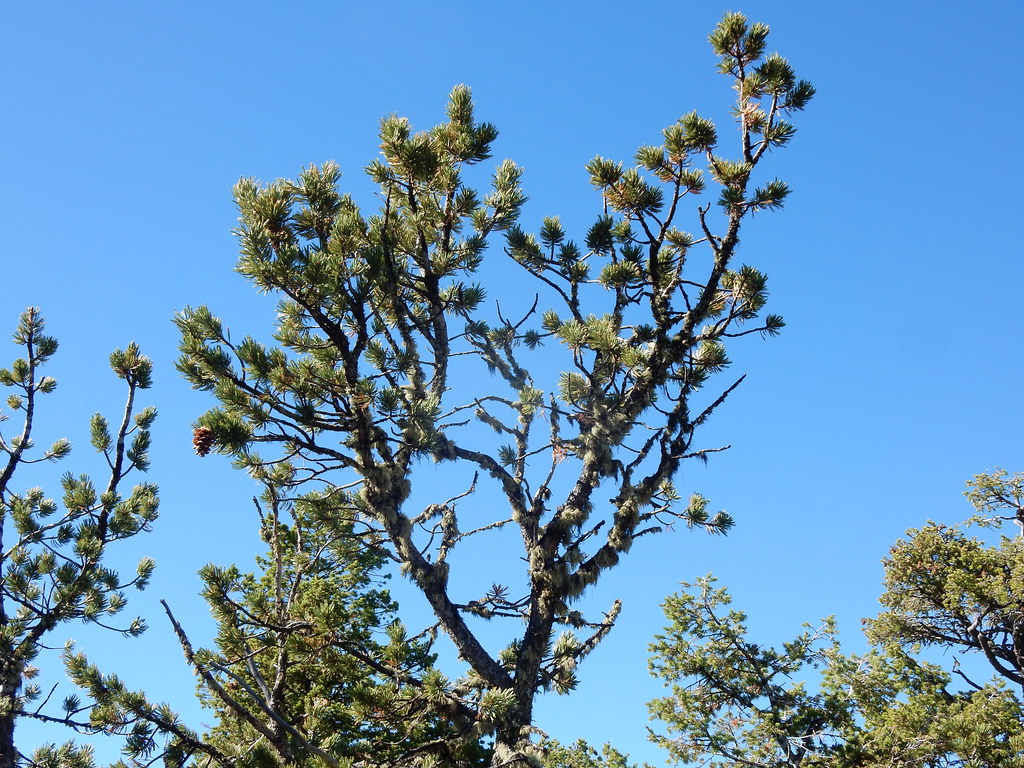 Crystal Cascades ConnectorHiking · ~1h 25m drivePhoto: Matt Lavin, CC BY-SA 2.0 (via Flickr)
- Swimming Woman AltHiking · ~1h 12m drive
- Swimming WomanHiking · ~1h 13m drive
Best time to visit Elso Trail
Best months: May–June and September. Best months have typical highs of 55–85 °F, lows of 30 °F or warmer (32 °F where the station doesn't record snow), at most one snowy day and no more than 12 wet days.
Jan
36° / 11°
6 wet
Feb
39° / 12°
5 wet
Mar
48° / 19°
7 wet
Apr
56° / 27°
9 wet
May
66° / 37°
11 wet
Jun
76° / 46°
10 wet
Jul
87° / 51°
7 wet
Aug
86° / 48°
7 wet
Sep
75° / 39°
6 wet
Oct
59° / 29°
7 wet
Nov
46° / 19°
5 wet
Dec
37° / 12°
5 wet
Typical high / low (°F) and days with rain or snow, 1991–2020. Measured at Roundup 15 Sw, MT, 4 mi away at 3,386 ft. This station doesn't record snowfall. Source: NOAA NCEI U.S. Climate Normals 1991–2020.
Map and trail data © OpenStreetMap contributors
