Hornet Lookout
- 1.8 mi
- round trip
- 744 ft
- climb
- 6,737 ft
- high point
- Out and back
- route
Is Hornet Lookout open right now?
Alert in the area
The Forest Service lists 6 alerts for Flathead National Forest.
Ashley Lake North Campground Closure
Agency alert covering Flathead National Forest · Order 01-10- · USFS · Flathead National Forest
Camp Creek Fire Updated Trail Closure
Agency alert covering Flathead National Forest · Order 01-10- · USFS · Flathead National Forest
FK&L Area Closed to Public Access Starting July 22, 2026
Agency alert covering Flathead National Forest · Order 01-10- · USFS · Flathead National Forest
Trail 800 Tally-Ashely Closure
Agency alert covering Flathead National Forest · Order 01-10- · USFS · Flathead National Forest
Ryan Creek Occupancy and Use Order
Agency alert covering Flathead National Forest · Order 1-10- · USFS · Flathead National Forest
As of · Source: USFS · Flathead National Forest. Agencies don't list every closure — check before you go.
Hornet Lookout is a short, easy hike in the Glacier View Ranger District of Montana's Flathead National Forest, about 1.8 miles long and roughly 740 feet of elevation gain from the low point to the high point. The trail is an out-and-back, and the Forest Service manages the surrounding land. The route is rated easy and natural-surfaced, and bikes are allowed. The climb reaches a high point of about 6,737 feet, with the lower end of the trip starting around 5,995 feet. For more time outdoors, Whale Creek offers canoeing about 2.6 miles away, and the Cleft Rock and Mt. Hefty hikes are each about 4 miles off. Ninko Cabin, a campground, sits about 4.5 miles away.
Local outfitters
- Indian Springs Montana25 mi away
- North American RV Park & Yurt Village37 mi away
Not on Roamze yet. Their page has how to reach them.
Conditions and forecast on Hornet Mountain
Daily highs and lows, wind and the chance of precipitation at the summit and route start for the next 7 days, from the Open-Meteo model.
- Whale CreekCanoeing2.6 mi
- Cleft RockHiking3.9 mi
- Mt. HeftyHiking4 mi
- Moose CreekHiking4.1 mi
- Antley Tepee CreekHiking4.4 mi
- Ninko CabinCamping4.5 mi
- Tuchuck CampgroundCamping5 mi
- Wurtz CabinCamping5.2 mi
Source: Roamze catalog (indexable pages within 10 miles, PostGIS distance)
 Kishenehn TrailHiking · ~12 min drivePhoto: GlacierNPS, Public domain (via Wikimedia Commons)
 Chain LakeHiking · ~13 min drivePhoto: Forest Service Northern Region from Missoula, MT, USA, Public domain (via Wikimedia Commons)
 Link LakeHiking · ~16 min drivePhoto: Forest Service Northern Region from Missoula, MT, USA, Public domain (via Wikimedia Commons)
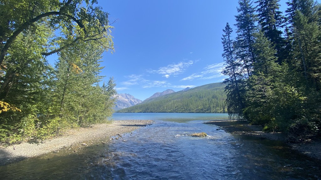 Boulder Pass TrailHiking · ~13 min drivePhoto: lamblukas, CC BY 2.0 (via Flickr)
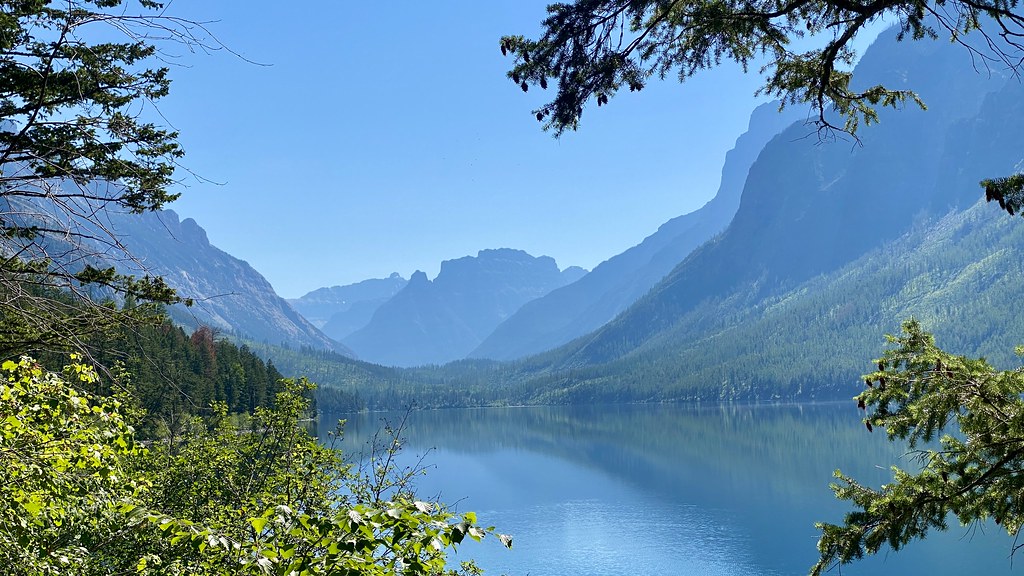 Kintla TrailHiking · ~19 min drivePhoto: lamblukas, CC BY 2.0 (via Flickr)
 Covey Meadow Ski TrailHiking · ~21 min drivePhoto: trukdotcom, CC BY-SA 3.0 (via Wikimedia Commons)
- Cleft RockHiking · ~7 min drive
- Nasukoin Mtn.Hiking · ~15 min drivePhoto: Forest Service Northern Region from Missoula, MT, USA, Public domain (via Wikimedia Commons)
- Covey Meadow Loop TrailHiking · ~22 min drivePhoto: trukdotcom, CC BY-SA 3.0 (via Wikimedia Commons)
- Mt. HeftyHiking · ~7 min drive
Route details
- Distance
- 1.8 mi round trip
- Climbing
- About 744 ft
- Summit
- 6,744 ft
- Difficulty
- Moderate
- Time
- About 1 hour
Questions about this route
How long is the Hornet Lookout on Hornet Mountain?
About 1.8 mi round trip.
How much elevation gain is on the Hornet Lookout?
About 744 ft of climbing round trip.
How hard is the Hornet Lookout?
It is rated moderate.
How long does the Hornet Lookout take?
About 1 hour round trip.
