Mt. Hefty
- 16.0 mi
- round trip
- 3,804 ft
- climb
- 7,594 ft
- high point
- Out and back
- route
Is Mt. Hefty open right now?
Alert in the area
The Forest Service lists 5 alerts for Flathead National Forest.
Camp Creek Fire Updated Trail Closure
Agency alert covering Flathead National Forest · Order 01-10- · USFS · Flathead National Forest
FK&L Area Closed to Public Access Starting July 22, 2026
Agency alert covering Flathead National Forest · Order 01-10- · USFS · Flathead National Forest
Trail 800 Tally-Ashely Closure
Agency alert covering Flathead National Forest · Order 01-10- · USFS · Flathead National Forest
Ryan Creek Occupancy and Use Order
Agency alert covering Flathead National Forest · Order 1-10- · USFS · Flathead National Forest
Logan Creek Hoke Creek Closure
Agency alert covering Flathead National Forest · Order 01-10- · USFS · Flathead National Forest
As of · Source: USFS · Flathead National Forest. Agencies don't list every closure — check before you go.
Mt. Hefty is a 16-mile out-and-back hike on natural surface in the Glacier View Ranger District of Flathead National Forest in Montana. The trail starts at about 4,200 feet and climbs to nearly 7,600 feet. It's a hard route, with a total elevation gain of about 3,800 feet, and it carries riders and horses as well as hikers. Cleft Rock sits about a mile and a half away, and the Thoma-Colts Cr. and Hornet Lookout hikes are each about 4 miles off. Tuchuck Campground is just under 5 miles away, making it the closest place to camp.
Local outfitters
- Indian Springs Montana26 mi away
- North American RV Park & Yurt Village41 mi away
Not on Roamze yet. Their page has how to reach them.
Keep exploring — more trails worth the drive
 Photo: GlacierNPS, Public domain (via Wikimedia Commons)
Kishenehn Trail
~10 min drive
17.62-mile out-and-back trail in Montana with 1,899 ft elevation gain and 4,104 ft max elevation.
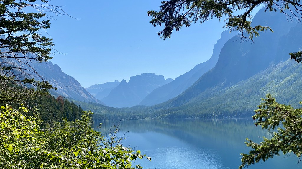 Photo: lamblukas, CC BY 2.0 (via Flickr)
Kintla Trail
~15 min drive
11.09-mile out-and-back trail in Montana with 517 ft elevation gain.
 Photo: Forest Service Northern Region from Missoula, MT, USA, Public domain (via Wikimedia Commons)
Link Lake
~22 min drive
2.68-mile out-and-back trail to Link Lake in Montana with 666 ft of elevation gain.
 Photo: Mobilus In Mobili, CC BY-SA 2.0 (via Flickr)
Numa Ridge Lookout Trail
~26 min drive
9.83-mile out-and-back hike to Numa Ridge Lookout in Montana with 2,916 ft gain.
HIKE
Numa Lookout Trailhead
~26 min drive
This trail takes you to one of the (seasonally) staffed fire lookouts in the park. It starts on the shore of Bowman Lake, with the first half remaining relatively flat before gaining elevation. Numa Lookout Distance: 5.7 mi (9.2 km), one way Elevation gain: 3,396 ft (1035 m)…
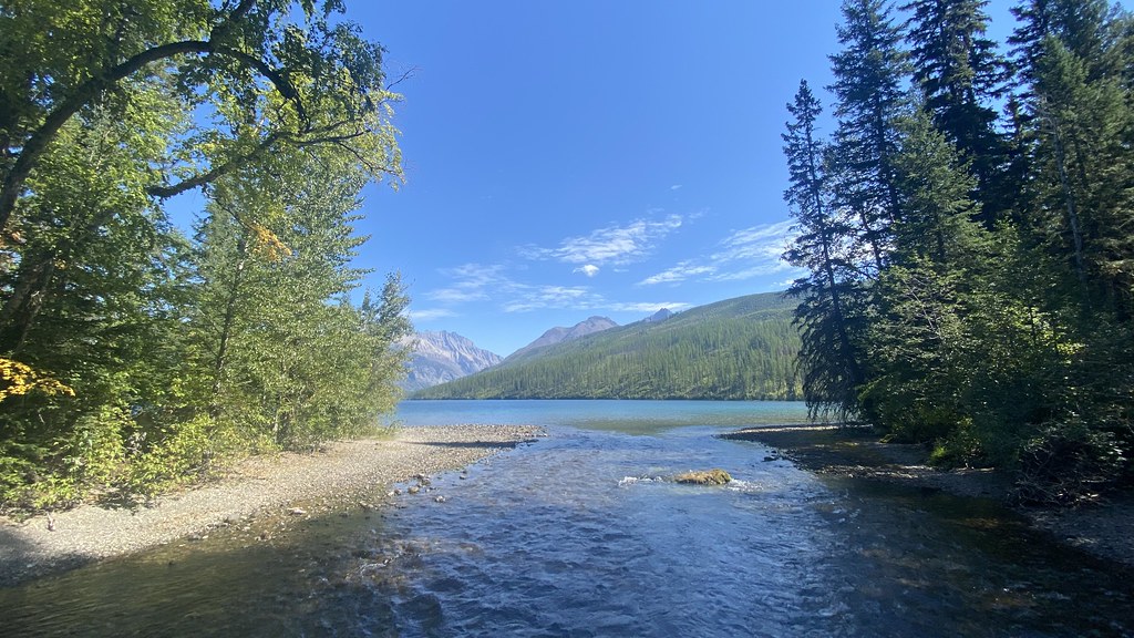 Photo: lamblukas, CC BY 2.0 (via Flickr)
Boulder Pass Trail
~11 min drive
59.14-mile out-and-back trail in Montana with 3,220 ft elevation gain.
 Photo: Forest Service Northern Region from Missoula, MT, USA, Public domain (via Wikimedia Commons)
Chain Lake
~20 min drive
2.97-mile out-and-back trail in Montana with 1,128 ft gain.
 Photo: trukdotcom, CC BY-SA 3.0 (via Wikimedia Commons)
Covey Meadow Ski Trail
~25 min drive
0.43-mile lollipop ski trail in Montana with 70 ft gain and 3,658 ft max elevation.
 Photo: lamblukas, CC BY 2.0 (via Flickr)
Quartz Lake Loop
~27 min drive
24.94-mile out-and-back out-and-back in Montana with 5,855 ft elevation gain
HIKE
Cleft Rock
~2 min drive
Cleft Rock is a 21.47-mile out-and-back trail in Montana with 3,256 feet of elevation gain.
