
Indian Springs Montana
Hiking business nearby (~34 mi away) — hasn't claimed their Roamze page yet
Free — you'll pick up right here.
Watch this trail
Sign up to watch it — saving subscribes you to gate, closure and report changes.
Montana
11.1 mi
Distance
517 ft
Gain
3h 58m
Time
We won't guess. Here is exactly what we do and don't know.
What we do know
Inside Glacier National Park
National Park unit boundary is mapped — agency alerts for it feed this page automatically.
Boundary data
What's missing
No access route mapped
We don't yet know which road reaches this trailhead, so we can't tell you if it's gated.
Nobody's filed a report here yet — be the first.
Why you'll love it
Kintla Trail
AI-suggested draft · review before you go
No permit or access details on file for this trail — check with the local land manager before you go.
Kintla Trail is an 11-mile moderate trek through the scenic Montana backcountry, offering steady elevation gain through forested terrain with views characteristic of the region. This trail provides a rewarding day hike or backpacking option with consistent climbing that builds endurance without extreme technical difficulty. The route traverses typical Northern Rockies landscape with opportunities to experience diverse forest ecosystems.
Numa Lookout Trailhead
~18 min drive
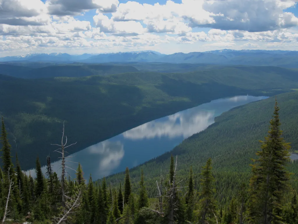
This trail takes you to one of the (seasonally) staffed fire lookouts in the park. It starts on the shore of Bowman Lake, with the first half remaining relatively flat before gaining elevation. Numa Lookout Distance: 5.7 mi (9.2 km), one way Elevation gain: 3,396 ft (1035 m)…
Boulder Pass Trail
~6 min drive
Challenging 59-mile high-alpine traverse with 3,220 ft elevation gain.
Numa Ridge Lookout Trail
~18 min drive
Steady climb to historic fire lookout with panoramic mountain views.
Hornet Lookout
~19 min drive
Steep 1.84-mile climb to a historic fire lookout with panoramic views.
Hidden Meadow Trailhead
~27 min drive
This peaceful and relatively flat trail takes you to a meadow and pond with good birding opportunities. Hidden Meadow Distance: 1.5 mi (2.4 km), one way Elevation gain: 337 ft (103 m) Elevation loss: 103 ft (31 m) Trailhead: 3 miles south of Polebridge Ranger Station While i…
Cleft Rock
~14 min drive
Remote 21.47-mile backcountry trail with 3,256 ft gain in Montana wilderness.
Akokala Lake Trail
~18 min drive
Moderate 11-mile alpine lake hike with 1,000 ft elevation gain in the Mission Mountains.
Chain Lake
~30 min drive
Moderate alpine lake hike with steady elevation gain and scenic subalpine views.
Rainbow Falls Trailhead
~32 min drive
This is a popular and short hike that passes by a natural mineral lick where deer are often seen. Rainbow Falls Distance: 1.0 mi (1.6 km), one way Elevation gain: 172 ft (52 m) Elevation loss: 108 ft (33 m) Trailhead: Goat Haunt Ranger Station While in Glacier National Park…
Mt. Hefty
~15 min drive
Strenuous 16-mile alpine climb with 3,804 ft elevation gain.
Local operatorsoffering guided trips. You book directly with them — Roamze doesn’t take a cut.
Indian Springs Montana
Hiking business nearby (~34 mi away) — hasn't claimed their Roamze page yet
North American RV Park & Yurt Village
Hiking business nearby (~39 mi away) — hasn't claimed their Roamze page yet