Moose Creek
- 10.6 mi
- round trip
- 2,067 ft
- climb
- 6,896 ft
- high point
- Out and back
- route
Caution at last check
Agency alerts are in effect for this area; weather is marginal · USFS, OpenWeather · checked 16 h ago
Is Moose Creek open right now?
Alert in the area
The Forest Service lists 6 alerts for Flathead National Forest.
Ashley Lake North Campground Closure
Agency alert covering Flathead National Forest · Order 01-10- · USFS · Flathead National Forest
Camp Creek Fire Updated Trail Closure
Agency alert covering Flathead National Forest · Order 01-10- · USFS · Flathead National Forest
FK&L Area Closed to Public Access Starting July 22, 2026
Agency alert covering Flathead National Forest · Order 01-10- · USFS · Flathead National Forest
Trail 800 Tally-Ashely Closure
Agency alert covering Flathead National Forest · Order 01-10- · USFS · Flathead National Forest
Ryan Creek Occupancy and Use Order
Agency alert covering Flathead National Forest · Order 1-10- · USFS · Flathead National Forest
As of · Source: USFS · Flathead National Forest. Agencies don't list every closure — check before you go.
Moose Creek is a hard hike in the Glacier View Ranger District of Flathead National Forest in northwest Montana, managed by the Forest Service. The route is an out-and-back of about 10.6 miles, with a one-way elevation gain of 2,067 feet, taking you from a low of about 4,834 feet to a high of about 6,896 feet. The trail is rated hard, and it is a natural-surface route open to both bikes and horses. Plan for a long day with a significant climb. For a break, Whale Creek offers canoeing about 3.3 miles away, and Hornet Lookout campground is about 3.7 miles off. Chain Lake is about 4.8 miles away, and Wurtz Cabin campground sits about 5.6 miles from the trail.
Local outfitters
- Indian Springs Montana27 mi away
- North American RV Park & Yurt Village34 mi away
Not on Roamze yet. Their page has how to reach them.
- Whale CreekCanoeing3.3 mi
- Hornet LookoutCamping3.7 mi
 Chain LakeHikingPhoto: Forest Service Northern Region from Missoula, MT, USA, Public domain (via Wikimedia Commons)4.8 mi
- Wurtz CabinCamping5.6 mi
- Ninko CabinCamping5.7 mi
- Ford CabinCamping5.7 mi
- Ninko-Thompson SetonHiking5.7 mi
 Nasukoin Mtn.HikingPhoto: Forest Service Northern Region from Missoula, MT, USA, Public domain (via Wikimedia Commons)6.4 mi
Source: Roamze catalog (indexable pages within 10 miles, PostGIS distance)
- Chain LakeHiking · ~8 min drivePhoto: Forest Service Northern Region from Missoula, MT, USA, Public domain (via Wikimedia Commons)
- Link LakeHiking · ~11 min drivePhoto: Forest Service Northern Region from Missoula, MT, USA, Public domain (via Wikimedia Commons)
 Kishenehn TrailHiking · ~14 min drivePhoto: GlacierNPS, Public domain (via Wikimedia Commons)
- Numa Lookout TrailheadHiking · ~22 min drive
 Quartz Lake LoopHiking · ~22 min drivePhoto: lamblukas, CC BY 2.0 (via Flickr)
 Akokala Lake TrailHiking · ~22 min drivePhoto: Mobilus In Mobili, CC BY-SA 2.0 (via Flickr)
 Covey Meadow Ski TrailHiking · ~17 min drivePhoto: trukdotcom, CC BY-SA 3.0 (via Wikimedia Commons)
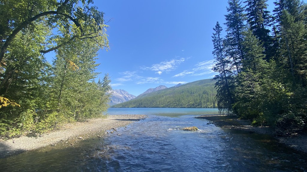 Boulder Pass TrailHiking · ~16 min drivePhoto: lamblukas, CC BY 2.0 (via Flickr)
- Hidden Meadow TrailheadHiking · ~20 min drive
- Nasukoin Mtn.Hiking · ~11 min drivePhoto: Forest Service Northern Region from Missoula, MT, USA, Public domain (via Wikimedia Commons)
