Antley Tepee Creek
- 10.4 mi
- round trip
- 1,395 ft
- climb
- 6,545 ft
- high point
- Out and back
- route
Is Antley Tepee Creek open right now?
Alert in the area
The Forest Service lists 6 alerts for Flathead National Forest.
Ashley Lake North Campground Closure
Agency alert covering Flathead National Forest · Order 01-10- · USFS · Flathead National Forest
Camp Creek Fire Updated Trail Closure
Agency alert covering Flathead National Forest · Order 01-10- · USFS · Flathead National Forest
FK&L Area Closed to Public Access Starting July 22, 2026
Agency alert covering Flathead National Forest · Order 01-10- · USFS · Flathead National Forest
Trail 800 Tally-Ashely Closure
Agency alert covering Flathead National Forest · Order 01-10- · USFS · Flathead National Forest
Ryan Creek Occupancy and Use Order
Agency alert covering Flathead National Forest · Order 1-10- · USFS · Flathead National Forest
As of · Source: USFS · Flathead National Forest. Agencies don't list every closure — check before you go.
Antley Tepee Creek is a hard out-and-back hike in the Glacier View Ranger District of Montana's Flathead National Forest. The route runs about 10.4 miles, rising from 4,548 feet to 6,545 feet. Bikes and horses are both allowed, and the trail surface is natural. The hike is open year-round, and the Forest Service manages the land. Plan for a significant climb, with about 1,395 feet of elevation gain on the one-way route. Several other destinations sit close by. Tuchuck Ridge and Tuchuck Creek are hikes within a mile, and Tuchuck Campground offers a place to stay. Review Mtn. is about 0.8 miles away.
Local outfitters
- Indian Springs Montana21 mi away
- North American RV Park & Yurt Village42 mi away
Not on Roamze yet. Their page has how to reach them.
- Tuchuck RidgeHiking0.5 mi
- Tuchuck CreekHiking0.7 mi
- Tuchuck CampgroundCamping0.8 mi
- Review Mtn.Hiking0.8 mi
- Seemo PassHiking0.9 mi
- Ninko CabinCamping4.6 mi
- Whale CreekCanoeing5.1 mi
- Wurtz CabinCamping9.1 mi
Source: Roamze catalog (indexable pages within 10 miles, PostGIS distance)
 Kishenehn TrailHiking · ~17 min drivePhoto: GlacierNPS, Public domain (via Wikimedia Commons)
 Chain LakeHiking · ~18 min drivePhoto: Forest Service Northern Region from Missoula, MT, USA, Public domain (via Wikimedia Commons)
 Link LakeHiking · ~19 min drivePhoto: Forest Service Northern Region from Missoula, MT, USA, Public domain (via Wikimedia Commons)
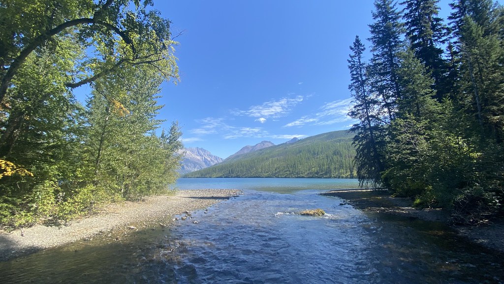 Boulder Pass TrailHiking · ~18 min drivePhoto: lamblukas, CC BY 2.0 (via Flickr)
- Nasukoin Mtn.Hiking · ~19 min drivePhoto: Forest Service Northern Region from Missoula, MT, USA, Public domain (via Wikimedia Commons)
- Weasel LakeHiking · ~12 min drive
- Tuchuck RidgeHiking · Next door
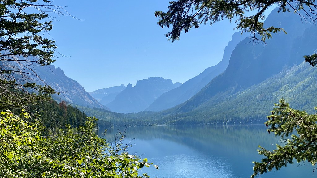 Kintla TrailHiking · ~22 min drivePhoto: lamblukas, CC BY 2.0 (via Flickr)
- Kishenehn CreekHiking · ~16 min drive
- Tuchuck CreekHiking · ~1 min drive
