Windy Pass Cabin
Campground
Campground · 1.4 mi from the trail
Closure in the area
There's a closure order in Bozeman Ranger District. It doesn't name GOLDEN TROUT LAKES, so check the source for the area it covers (17 listed).
Hyalite Canyon South Road Closure Order
Agency closure covering Bozeman Ranger District · Order 01-11-06-27-04 · USFS · Bozeman Ranger District
Sourdough/Bozeman Creek Trailhead and Trail Closure
Agency closure covering Bozeman Ranger District · Order 01-11-06-27-02 · USFS · Bozeman Ranger District
NFSR #1700 South Plateau Road Closure
Agency closure covering Custer Gallatin National Forest · USFS · Custer Gallatin National Forest
Storm Castle Creek Trail #185 Temporarily Closed Due to Storm Damage
Agency closure covering Bozeman Ranger District · Order 01-11-06-26-07 · USFS · Bozeman Ranger District
Hyalite Porcupine Buffalo Horn Summer Interim Travel Order and Map and Order # 01-11-00-26-02
Agency closure covering Custer Gallatin National Forest · Order 01-11-00-26-02 · USFS · Custer Gallatin National Forest
As of · Source: USFS · Bozeman Ranger District. Agencies don't list every closure — check before you go.
Golden Trout Lakes is an easy, out-and-back hike of about 1.2 miles in the Bozeman Ranger District of Custer Gallatin National Forest in Montana. The trail starts at the Windy Pass/Golden Trout (Upper Portal) trailhead, and the climb to the high point of 8,375 feet adds about 407 feet of elevation gain, which is roughly 361 feet one way. The steepest stretch comes at about 0.5 miles in, where the grade reaches 20%. The route is short and low-effort, with the high point reached within a little over a mile. The nearest town is Bozeman, which makes it an easy addition to a day in the surrounding area. Several other places sit within a short distance. Windy Pass, a mountain biking route, and Hidden Lake Cutoff, another hike, are each about half a mile away. The District One climbing area and the Uzumaki Boulder are both about 1.6 miles off.
Windy Pass Cabin
Campground
Places © Overture Maps Foundation
More in EmigrantNot on Roamze yet. Their page has how to reach them.
 Gallatin RiverCanoeingPhoto: Jim from Lexington, KY, USA, CC BY-SA 2.0 (via Wikimedia Commons)3.2 mi
Source: Roamze catalog (indexable pages within 10 miles, PostGIS distance)
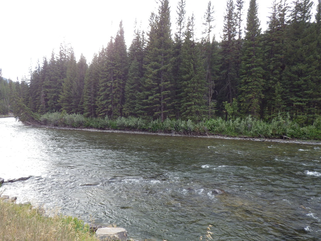 Upper Deer CreekHiking · ~8 min drivePhoto: Matt Lavin, CC BY-SA 2.0 (via Flickr)
 Reflector TrailHiking · ~14 min drivePhoto: Matt Lavin, CC BY-SA 2.0 (via Flickr)Deer CreekHiking · ~9 min drivePhoto: Matt Lavin, CC BY-SA 2.0 (via Flickr)
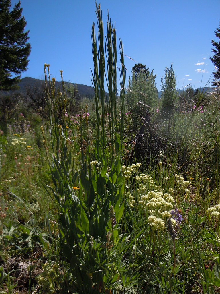 FIRST CREEK CUTOFFHiking · ~9 min drivePhoto: Matt Lavin, CC BY-SA 2.0 (via Flickr)Crail Ranch TrailHiking · ~14 min drivePhoto: Matt Lavin, CC BY-SA 2.0 (via Flickr)
