Goat Mountain
- 4.7 mi
- round trip
- 2,038 ft
- climb
- 5,416 ft
- high point
- Out and back
- route
Is Goat Mountain open right now?
Closure in the area
There's a closure order in Three Rivers Ranger District. It doesn't name Goat Mountain, so check the source for the area it covers (2 listed).
Ross Creek Cedars Road Closure & Storm Damage Update
Agency closure covering Three Rivers Ranger District · Order 01-14-04-26-08 · USFS · Three Rivers Ranger District
Kootenai Flood Event & Inaccessible Areas
Agency closure covering Kootenai National Forest · USFS · Kootenai National Forest
Updated Skillet Fire Area, Road, Trail Closure
Agency alert covering Kootenai National Forest · Order 01-10- · USFS · Kootenai National Forest
Spar Lake Road #384 Road Closed to Motorized Vehicles
Agency alert covering Three Rivers Ranger District · Order 01-14-04-26-04 · USFS · Three Rivers Ranger District
As of · Source: USFS · Three Rivers Ranger District. Agencies don't list every closure — check before you go.
Goat Mountain is a moderate out-and-back hike in the Three Rivers Ranger District of Montana's Kootenai National Forest, about 4.7 miles long with a one-way elevation gain of 2,038 feet. The trail starts at Goat Mountain TH 148, which is open from May 1 through November 30, and the route rises from a low point of about 3,379 feet to a high of about 5,416 feet. The trail is a natural-surface route that allows both horses and bikes, so it works for riders and pack animals as well as hikers. That makes it a flexible option for a day on foot or on horseback, with the climb spread across the full length of the out-and-back. Several other outings sit within a few miles. Callahan Creek, a canoeing spot, is about 2.7 miles away, and the Goat Creek and Grouse Lake hikes are both within about 4 miles. For an overnight stay, Spar Lake Campground is roughly 9 miles off.
Local outfitters
- Kootenai River Campground7 mi away
- Nordman Resort48 mi away
Not on Roamze yet. Their page has how to reach them.
Keep exploring — more trails worth the drive
 Photo: Arbron, CC BY 2.0 (via Flickr)
Grambauer
~14 min drive
13.27-mile out-and-back trail in Montana with 4,915 ft elevation gain.
 Photo: waterarchives, CC BY-SA 2.0 (via Flickr)
Kootenai Creek
~17 min drive
3.85-mile loop trail in Montana with 1,900 ft elevation gain.
HIKE
Grouse Lake
~6 min drive
Grouse Lake is a 3.01-mile out-and-back trail in Montana with 219 feet of elevation gain.
HIKE
Goat Creek
~5 min drive
9.39-mile out-and-back trail in Montana with 140 ft of elevation gain.
 Photo: Forest Service - Northern Region, Public Domain Mark (via Flickr)
Grambauer Ridge Tie
~17 min drive
4.72-mile out-and-back trail on Grambauer Ridge in Montana with 1,565 ft gain.
HIKE
Grouse Lake Marsh Bypass
~7 min drive
0.65-mile out-and-back trail at Grouse Lake Marsh Bypass in Montana
HIKE
South Fork Callahan
~12 min drive
7.30-mile out-and-back trail in Idaho with 2,574 ft gain.
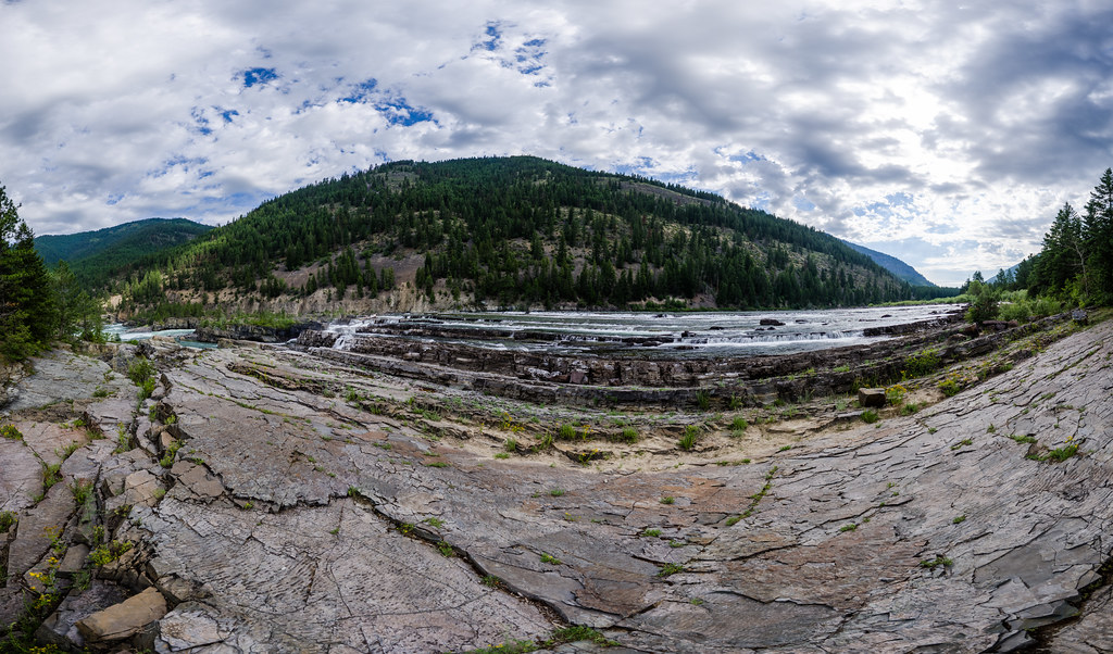 Photo: Arbron, CC BY 2.0 (via Flickr)
Bighorn Trail #42
~18 min drive
2.52-mile out-and-back trail in Montana with 1,331 ft elevation gain
HIKE
Smith Mountain
~11 min drive
2.22-mile out-and-back trail in Idaho with 812 ft elevation gain.
HIKE
Taylor Peak
~12 min drive
18.65-mile out-and-back trail to Taylor Peak in Montana with 4,483 ft gain.
Route details
- Distance
- 4.7 mi round trip
- Climbing
- About 2,038 ft
- Starts at
- GOAT MOUNTAIN TH 148 (about 3,379 ft)
- Summit
- 5,420 ft
- Difficulty
- Moderate
- Time
- About 2.5 hours
Getting there
Park at GOAT MOUNTAIN TH 148.
Questions about this route
How long is the Goat Mountain on Goat Mountain?
About 4.7 mi round trip from GOAT MOUNTAIN TH 148 (about 3,379 ft).
How much elevation gain is on the Goat Mountain?
About 2,038 ft of climbing round trip.
How hard is the Goat Mountain?
It is rated moderate.
Where does the Goat Mountain start?
GOAT MOUNTAIN TH 148 (about 3,379 ft).
How long does the Goat Mountain take?
About 2.5 hours round trip.
Conditions and forecast on Goat Mountain
Daily highs and lows, wind and the chance of precipitation at the summit and route start for the next 7 days, from the Open-Meteo model.
